Norderkolk und Umgebung, protected landscape in Lower Saxony, Germany
Location: Leer
Inception: 1978
GPS coordinates: 53.21460,7.30957
Latest update: November 14, 2025 04:59
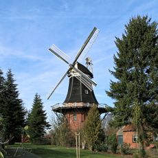
Haseborgsche Mühle
4 km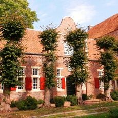
Steinhaus Bunderhee
2.4 km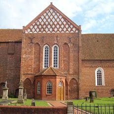
Martinskirche
4.3 km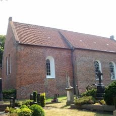
Liudgeri-Kirche
4 km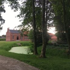
Garden of Steinhausstraße 72
2.4 km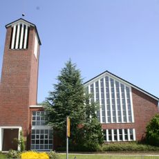
Evangelisch-altreformierte Kirche
4.1 km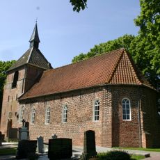
Böhmerwold Church
2.5 km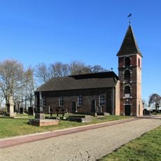
Landschaftspolder Kirche
4.1 km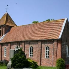
St.-Maria-Kirche
4.5 km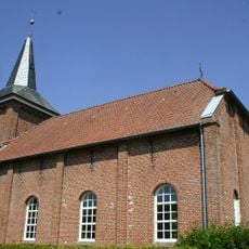
Weenermoorer Kirche
2.3 km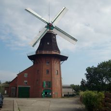
Bunder Mühle
4.3 km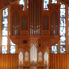
Pipe organ of Evangelisch-altreformierte Kirche
4.1 km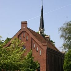
Reformierte Kirche
5.6 km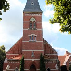
Möhlenwarfer Kirche
4.3 km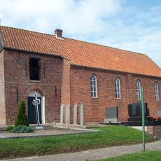
St. Georgiwolder Kirche
752 m
Dollartmuseum
4.7 km
Kirchring 23
4.1 km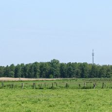
Püttenbollen
5.4 km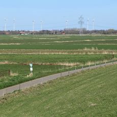
Rheiderland
2.7 km
Süderkolk
320 m
Stele, memorial
5 km
War memorial, memorial
5.6 km
Memorial
4.2 km
Memorial, war memorial
726 m
Hesseturm
5.7 km
Annemarie Weinberg
5.9 km
Max Grünberg
5.9 km
Memorial, stele
4.3 kmReviews
Visited this place? Tap the stars to rate it and share your experience / photos with the community! Try now! You can cancel it anytime.
Discover hidden gems everywhere you go!
From secret cafés to breathtaking viewpoints, skip the crowded tourist spots and find places that match your style. Our app makes it easy with voice search, smart filtering, route optimization, and insider tips from travelers worldwide. Download now for the complete mobile experience.

A unique approach to discovering new places❞
— Le Figaro
All the places worth exploring❞
— France Info
A tailor-made excursion in just a few clicks❞
— 20 Minutes