
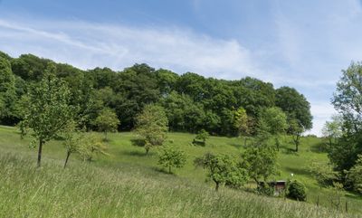
Naturschutzgebiet Wasserschöpp bei Unter-Hambach, protected area in Germany
Location: Heppenheim
Inception: 1984
GPS coordinates: 49.65290,8.65983
Latest update: March 6, 2025 04:37
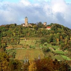
Starkenburg
1.1 km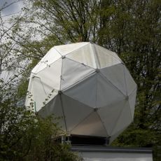
Starkenburg Observatory
894 m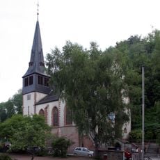
Unter-Hambach
773 m
St. Michaelskirche
692 m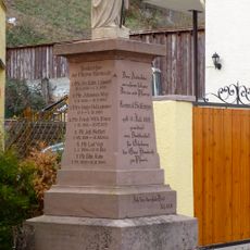
Guter Hirte
841 m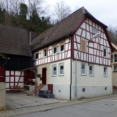
Haus Hambacher Tal 84
713 m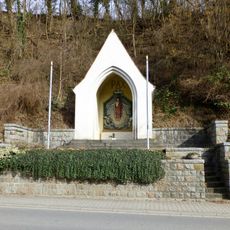
Gefallenen-Gedächtniskapelle
743 m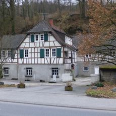
Eberhardsmühle
829 m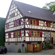
Schlangenhaus
933 m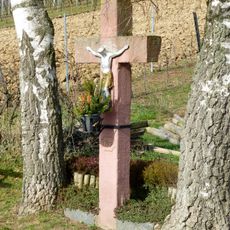
Feldkreuz
1.1 km
Marienkapelle
1.1 km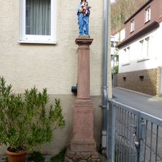
Haus Hambacher Tal 110
677 m
Hl. Nepomuk
886 m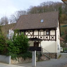
Haus Hambacher Tal 97
628 m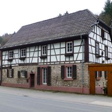
Haus Fischweiher 19
1 km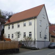
Haus Hambacher Tal 160
866 m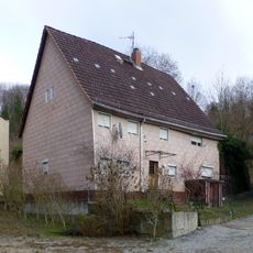
Haus In der Wasserschöpp 2
702 m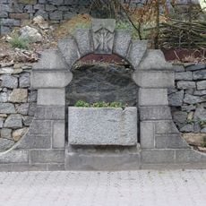
Fischweiherbrunnen
1 km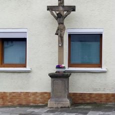
Steigkreuz
911 m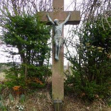
Feldkreuz
418 m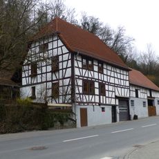
Haus Fischweiher 28
1.1 km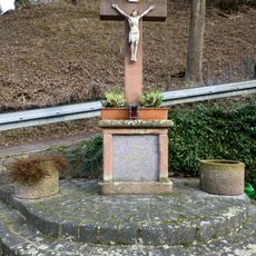
Oberes Kreuz
891 m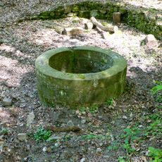
Hessenbrunnen
1 km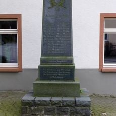
Gefallenen-Ehrenmal
721 m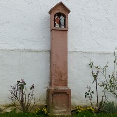
Bildstock
803 m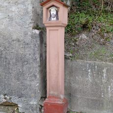
Bildstock
731 m
Unteres Kreuz
720 m
Kath. Pfarrhaus
665 mReviews
Visited this place? Tap the stars to rate it and share your experience / photos with the community! Try now! You can cancel it anytime.
Discover hidden gems everywhere you go!
From secret cafés to breathtaking viewpoints, skip the crowded tourist spots and find places that match your style. Our app makes it easy with voice search, smart filtering, route optimization, and insider tips from travelers worldwide. Download now for the complete mobile experience.

A unique approach to discovering new places❞
— Le Figaro
All the places worth exploring❞
— France Info
A tailor-made excursion in just a few clicks❞
— 20 Minutes