
Sterbrucher Moor, protected landscape in Lower Saxony, Germany
Location: Osterholz
Inception: 1983
GPS coordinates: 53.24490,8.54704
Latest update: June 12, 2025 13:54
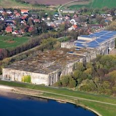
Valentin submarine pens
4.1 km
Huntesperrwerk
4.8 km
Barrack Wilhelmine
2.4 km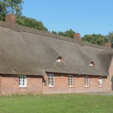
Hitlerjugendheim Farge
4.9 km
Kirche Farge
5.7 km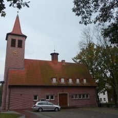
Evangelisch-reformierte Kirche
4.3 km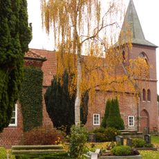
St.-Nicolai-Kirche
6 km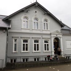
Haus Elsfleth
5.5 km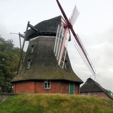
Rekumer Mühle
3.4 km
Eispohl, Sandwehen und Heideweiher
4.9 km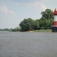
Berne range lights
5.9 km
Juliusplate
6.1 km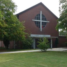
Heilig Kreuz
5 km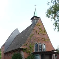
Christ König
5.9 km
Jewish Cemetery, Schwanewede
2.9 km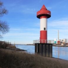
Juliusplate range lights
5.9 km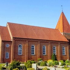
St. Luciae
4.4 km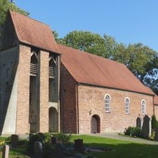
Kirche Aschwarden-Bruch
4.5 km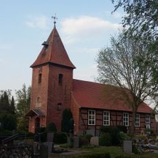
St.-Johannes-Kirche
3.4 km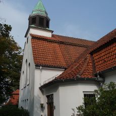
Kirche Rönnebeck - Farge
5.7 km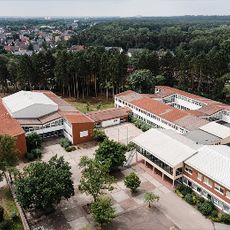
Hallenbad an der Waldschule
3.7 km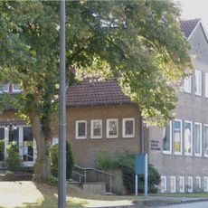
Reformierte Gemeinde Rönnebeck - Farge, Gemeindehaus
5.7 km
Nebenarme der Weser mit Strohauser Plate und Juliusplate
5.9 km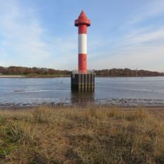
Berne Range Rear
6 km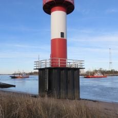
Berne-Juliusplate Range Front
5.9 km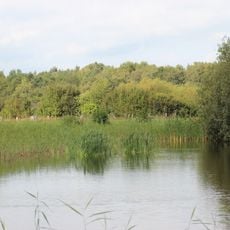
Heide und Heideweiher auf der Rekumer Geest
4.7 km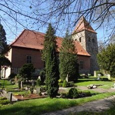
Michaelskirche
2.5 km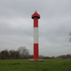
Juliusplate Range rear
5.8 kmReviews
Visited this place? Tap the stars to rate it and share your experience / photos with the community! Try now! You can cancel it anytime.
Discover hidden gems everywhere you go!
From secret cafés to breathtaking viewpoints, skip the crowded tourist spots and find places that match your style. Our app makes it easy with voice search, smart filtering, route optimization, and insider tips from travelers worldwide. Download now for the complete mobile experience.

A unique approach to discovering new places❞
— Le Figaro
All the places worth exploring❞
— France Info
A tailor-made excursion in just a few clicks❞
— 20 Minutes