
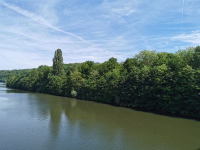
Neckarufer und das anschließende Hanggelände, protected landscape area in Baden-Württemberg, Germany
Location: Stuttgart
Inception: 1961
GPS coordinates: 48.84000,9.23418
Latest update: March 4, 2025 19:54
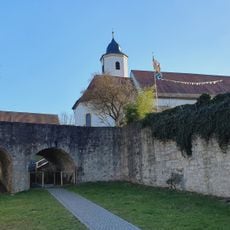
Castle Hofen
433 m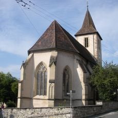
Veitskapelle
450 m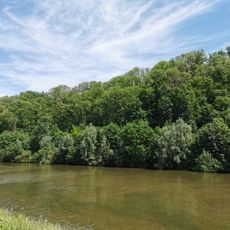
Oeffinger Scillawald
936 m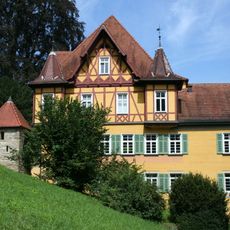
Palm’sches Schloss
572 m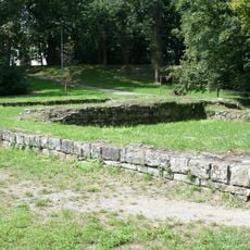
Ruine Engelburg
568 m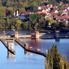
Schleuse Stuttgart-Hofen
773 m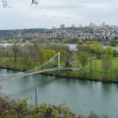
Max-Eyth-Steg (Stuttgart)
2 km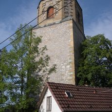
Heidenburg
511 m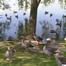
Vogelinsel Max-Eyth-See
1.6 km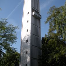
Glockenturm Mönchfeld
923 m
Unteres Feuerbachtal mit Hangwäldern und Umgebung
1.7 km
Memorials to the Armenian Genocide in Stuttgart
2 km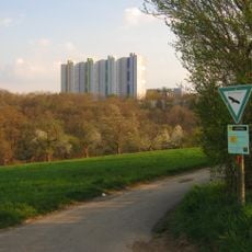
Unteres Feuerbachtal
2.1 km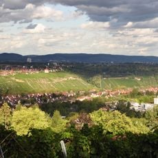
Zuckerberg-Muckensturm
1.9 km
Oeffinger Rain und Weidachtal
1.9 km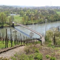
Neckarlandschaft anschließend an den Zuckerberg bis zur Schleuse Hofen
1.6 km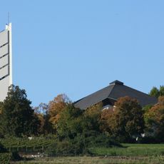
St. Johannes Maria Vianney
980 m
Weinberghänge rechts des Neckars unterhalb des Muckensturms, der Steinhalde, des Zuckerberges und die anschließende Hochfläche mit dem Steinhaldenfriedhof
1.9 km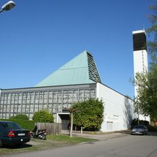
St. Thomaskirche, Steinhaldenfeld
1.5 km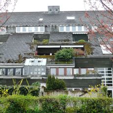
Wohnhügelhaus Schnitz
652 m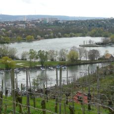
Scenic viewpoint
1.5 km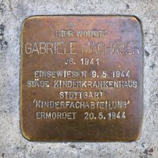
Stolperstein dedicated to Gabriele Machauer
1.5 km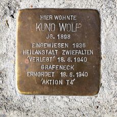
Stolperstein dedicated to Kuno Wolf
1.4 km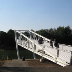
Landungsbrücke
1.7 km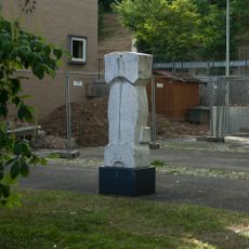
Mental
446 m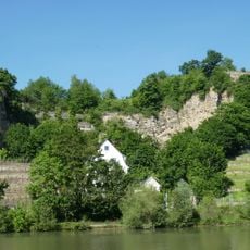
Steinbruch "Stephan"
1.8 km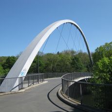
Vier-Burgen-Steg (Stuttgart)
176 m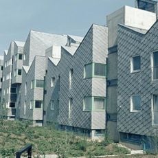
Terrassenhäuser Neugereut
802 mVisited this place? Tap the stars to rate it and share your experience / photos with the community! Try now! You can cancel it anytime.
Discover hidden gems everywhere you go!
From secret cafés to breathtaking viewpoints, skip the crowded tourist spots and find places that match your style. Our app makes it easy with voice search, smart filtering, route optimization, and insider tips from travelers worldwide. Download now for the complete mobile experience.

A unique approach to discovering new places❞
— Le Figaro
All the places worth exploring❞
— France Info
A tailor-made excursion in just a few clicks❞
— 20 Minutes