
Achdorfer Tal, Buchberg und Mundelfinger Viehweide, protected landscape area in Baden-Württemberg, Germany
Location: Schwarzwald-Baar district
Inception: 1987
GPS coordinates: 47.85310,8.49829
Latest update: March 27, 2025 17:27
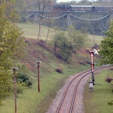
Wutach Valley Railway
4.7 km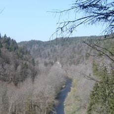
Wutachschlucht
4.8 km
Fürstenberg Castle
6.2 km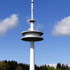
Sender Donaueschingen
7 km
Schwarzer Stein
7.2 km
Fürstenberg
6.3 km
Gauchachtalbrücke Döggingen
7.4 km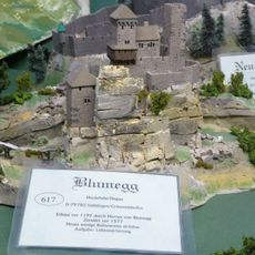
Burg Blumegg
5.3 km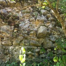
Castle Old Blumberg
2.3 km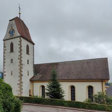
St. Vitus (Fützen)
5.6 km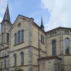
Pfarrkirche Unserer Lieben Frau
9.3 km
Schloss Hüfingen
7.9 km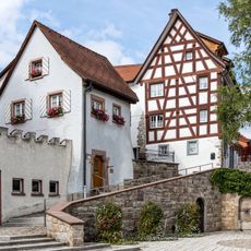
Burg Bräunlingen
9.4 km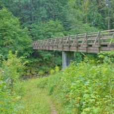
Auäcker
9.4 km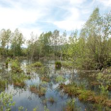
Zollhausried
5.3 km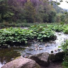
Wutach und Baaralb
1.1 km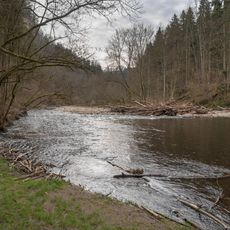
Wutachflühen
4.5 km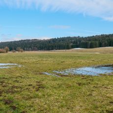
Ortsburg Aitlingen
9.2 km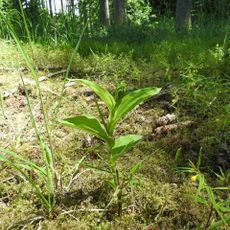
Deggenreuschen - Rauschachen
6.4 km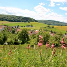
Hondinger Zisiberg
5.8 km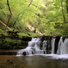
Wutachschlucht
9.6 km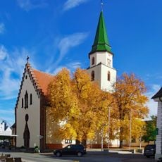
St. Verena und Gallus
8.2 km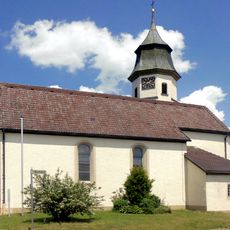
Allmendshofen
9.7 km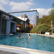
Aquari Freizeitbad
7.8 km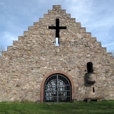
Augustinuskapelle
6.3 km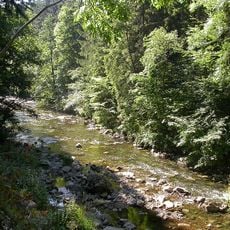
Wutachschlucht (Landkreis Breisgau-Hochschwarzwald)
6 km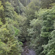
Wutachflühen
3.8 km
Römerbad Hüfingen
7.5 kmReviews
Visited this place? Tap the stars to rate it and share your experience / photos with the community! Try now! You can cancel it anytime.
Discover hidden gems everywhere you go!
From secret cafés to breathtaking viewpoints, skip the crowded tourist spots and find places that match your style. Our app makes it easy with voice search, smart filtering, route optimization, and insider tips from travelers worldwide. Download now for the complete mobile experience.

A unique approach to discovering new places❞
— Le Figaro
All the places worth exploring❞
— France Info
A tailor-made excursion in just a few clicks❞
— 20 Minutes