
Donauried, protected landscape area in Baden-Württemberg, Germany
Location: Alb-Donau-Kreis
Inception: 1960
GPS coordinates: 48.48730,10.18020
Latest update: March 5, 2025 21:23

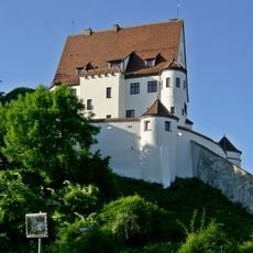
Schloss Leipheim
5.1 km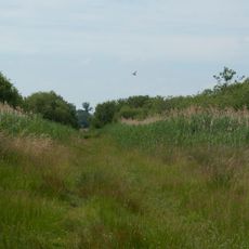
Langenauer Ried
1.5 km
Donaubrücke Leipheim
4.9 km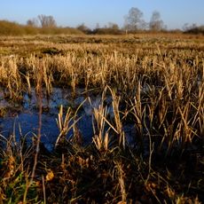
Leipheimer Moos
2.4 km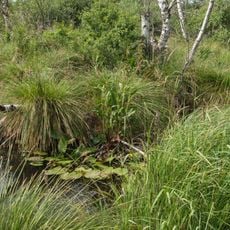
Donaumoos
3.5 km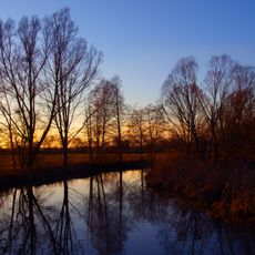
Donauried
3 km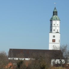
Martinskirche
4.6 km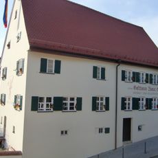
Gasthaus Blaue Ente
5.1 km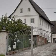
Radstrasse 8
2.9 km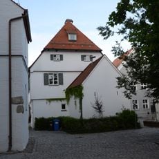
Kantorhaus
5.1 km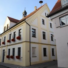
Rathaus
5.2 km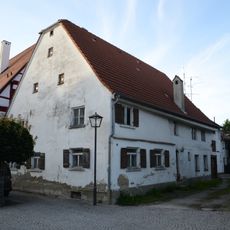
Wohnhaus
5.1 km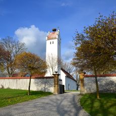
St. Peter
3.9 km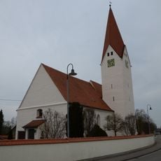
Ambrosiuskirche
3 km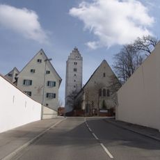
St. Veit (Leipheim)
5.1 km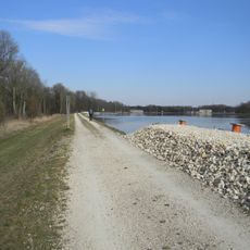
Donautal zwischen Weißingen und Günzburg
5 km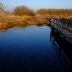
Leipheimer und Günzburger Moos
3.4 km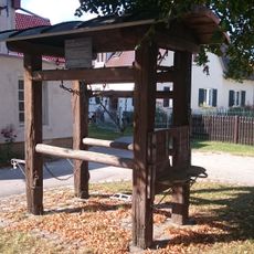
Ochsenbeschlagstelle Riedheim
3 km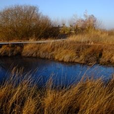
Leipheimer Moos
2.4 km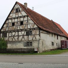
Langenauer Strasse 33
3 km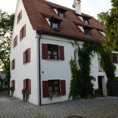
Ehemaliges Spital
5 km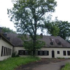
Ehemaliges Offizierheim
5.9 km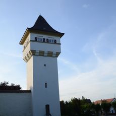
Hauserlesturm
5.3 km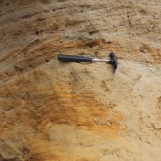
Ehemalige Sandgrube
4.5 km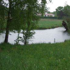
Nauursprung mit anschließender Bachlandschaft
5.5 km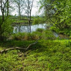
Grimmensee
1.3 km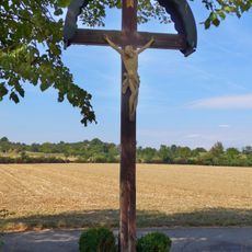
Wegkreuz (Unterelchingen)
5.9 km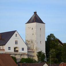
Storchenturm
5.3 kmReviews
Visited this place? Tap the stars to rate it and share your experience / photos with the community! Try now! You can cancel it anytime.
Discover hidden gems everywhere you go!
From secret cafés to breathtaking viewpoints, skip the crowded tourist spots and find places that match your style. Our app makes it easy with voice search, smart filtering, route optimization, and insider tips from travelers worldwide. Download now for the complete mobile experience.

A unique approach to discovering new places❞
— Le Figaro
All the places worth exploring❞
— France Info
A tailor-made excursion in just a few clicks❞
— 20 Minutes