
Laushalde, protected landscape area in Baden-Württemberg, Germany
Location: Alb-Donau-Kreis
Inception: 1981
GPS coordinates: 48.46860,10.02900
Latest update: March 6, 2025 08:09
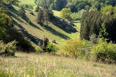
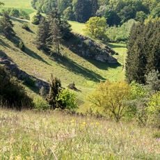
Laushalde
136 m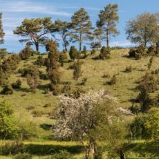
Ägenberg-Ofenloch
2.1 km
Burg Ufenloch
2.2 km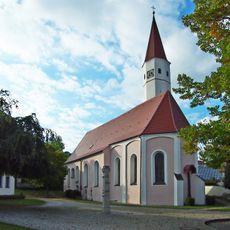
St. Laurentius
3.7 km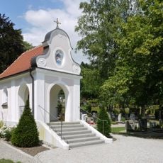
St. Apollonia (Thalfingen)
3.9 km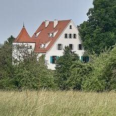
Schloss Obertalfingen
4 km
Ofenloch - Hagener Tobel
1.9 km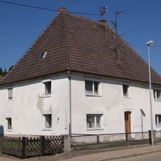
Thalfinger Straße 10
4.4 km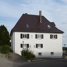
Postgasse 13
4.6 km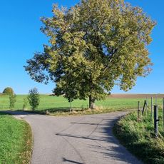
Linde
4.5 km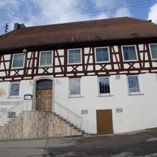
Gasthof Krone (Oberelchingen)
4.5 km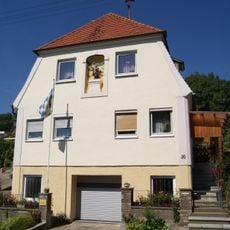
Ehemaliges Klosterrichterhaus
4.5 km
Steinkreuz
4.2 km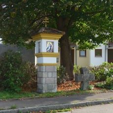
Bildstock und Schwedenkreuz
4.2 km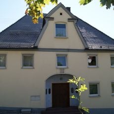
Ehemalige Apotheke
4.6 km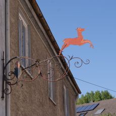
Schmiedeeiserner Ausleger
3.8 km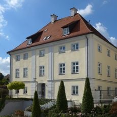
Klostersteige 10
4.6 km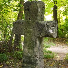
Steinkreuz
4.3 km
Wohnhaus
4.4 km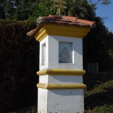
Bildstock Forstweg
4.6 km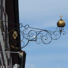
Gasthof Krone
4.5 km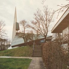
Evangelische Auferstehungskirche Ulm-Böfingen
4.3 km
Klostersteige 23
4.6 km
Quellsumpf Kesselbronn 5
2.3 km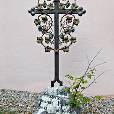
Grabkreuze
3.7 km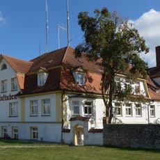
Gasthaus Bräustuben (Oberelchingen)
4.6 km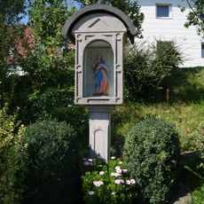
Bildstock Jägerhofweg
4.6 km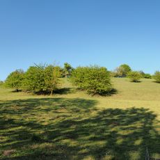
Halbtrockenrasen Örlingen 9
4.4 kmReviews
Visited this place? Tap the stars to rate it and share your experience / photos with the community! Try now! You can cancel it anytime.
Discover hidden gems everywhere you go!
From secret cafés to breathtaking viewpoints, skip the crowded tourist spots and find places that match your style. Our app makes it easy with voice search, smart filtering, route optimization, and insider tips from travelers worldwide. Download now for the complete mobile experience.

A unique approach to discovering new places❞
— Le Figaro
All the places worth exploring❞
— France Info
A tailor-made excursion in just a few clicks❞
— 20 Minutes