
Delbrücker Rücken, Landschaftsschutzgebiet in Nordrhein-Westfalen
Location: Delbrück
Inception: 1970
GPS coordinates: 51.78125,8.60472
Latest update: June 11, 2025 12:44
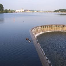
Lippesee
4.8 km
Anreppen
4.9 km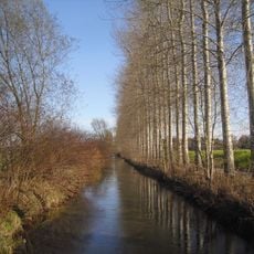
Boker Kanal
3.9 km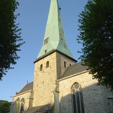
St. Johannes Baptist
3.4 km
Salvator-Kolleg
6.3 km
Jagdschloss Hövelhof
5.7 km
Hünenburg im Barbruch
6.4 km
St. Johannes Nepomuk
5.8 km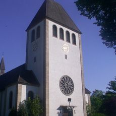
St. Joseph
1.7 km
St. Landolinus
6.3 km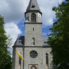
Herz Jesu
3.9 km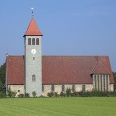
St. Josef
4.2 km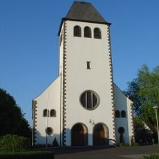
St. Marien in Sande
4.7 km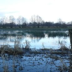
Erdgarten-Lauerwiesen
4.2 km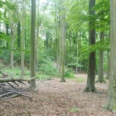
Delbrücker Schweiz
4.1 km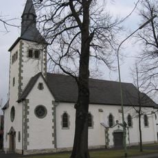
St. Dionysius
5 km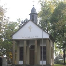
Kreuzkapelle
2.8 km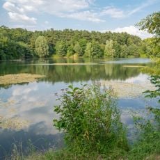
LSG-Seen in der Lippeniederung
5.3 km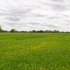
Gunnewiesen
5.9 km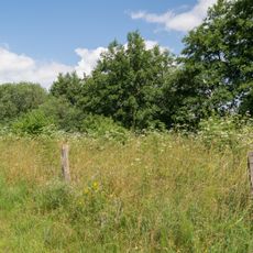
Lippeniederung bei Sande
4.3 km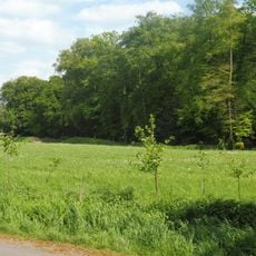
Rodehut
3.7 km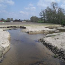
LSG Untere Senne
5.3 km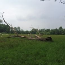
Rixel
1.9 km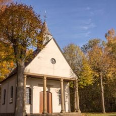
Peter und Paul Kapelle
1.6 km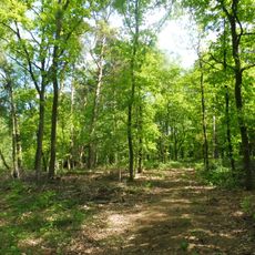
Langenbergteich
6.1 km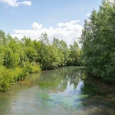
Lippe bei Sande
6 km
Hünenburg-Boke
6.4 km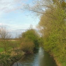
Lippeniederung II – Anreppen
4.4 kmReviews
Visited this place? Tap the stars to rate it and share your experience / photos with the community! Try now! You can cancel it anytime.
Discover hidden gems everywhere you go!
From secret cafés to breathtaking viewpoints, skip the crowded tourist spots and find places that match your style. Our app makes it easy with voice search, smart filtering, route optimization, and insider tips from travelers worldwide. Download now for the complete mobile experience.

A unique approach to discovering new places❞
— Le Figaro
All the places worth exploring❞
— France Info
A tailor-made excursion in just a few clicks❞
— 20 Minutes