
LSG-Westerheide, protected area in Germany
Location: Selfkant
Inception: 1989
GPS coordinates: 51.00769,5.93081
Latest update: June 28, 2025 06:07
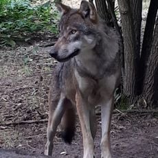
Wildpark Gangelt
3.5 km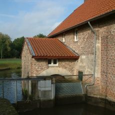
Stadbroekermolen
3.2 km
Sint-Gertrudiskerk
3 km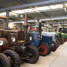
Bauernmuseum Selfkant
2.8 km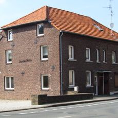
Kornmühle Tüddern
2.7 km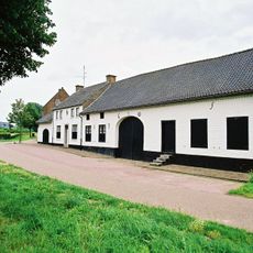
Hoeve Lahrhof
3.1 km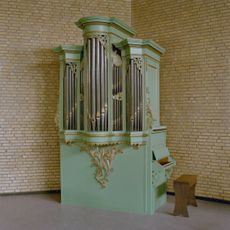
Christus' Hemelvaartkerk
3.3 km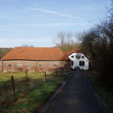
Roermolen
3.3 km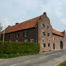
Etzenraderhof
3.7 km
Onze-Lieve-Vrouw Geboortekerk
2.8 km
St. Josef
2.8 km
Onze-Lieve-Vrouw-van-Altijddurende-Bijstandkapel
3.7 km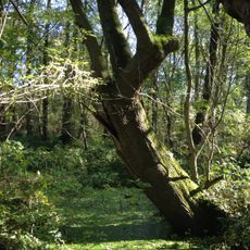
Tüdderner Fenn
847 m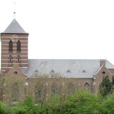
St. Gertrud
3.6 km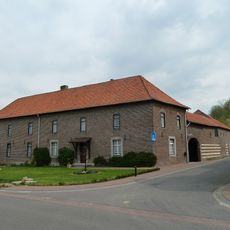
Eindstraat 15, Jabeek
3.3 km
Eindstraat 2, Jabeek
3.1 km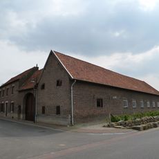
Eindstraat 17, Jabeek
3.3 km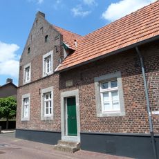
Dorpstraat 42, Sittard
2.6 km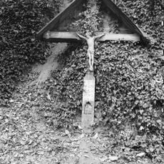
Wayside cross Merkelbeekerweg-Klein Daelkensweg, Jabeek
3.4 km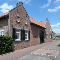
Kruisstraat 28, Broeksittard
2.4 km
Dorpstraat 35, Jabeek
3 km
Dorpstraat 30, Jabeek
3 km
Wayside cross Dorpstraat-Susterselerweg, Jabeek
2.9 km
Dorpsstraat 18, Bingelrade
3.7 km
Dorpsstraat 16, Bingelrade
3.7 km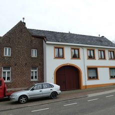
Dorpsstraat 5, Bingelrade
3.5 km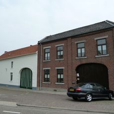
Dorpstraat 3, Bingelrade
3.5 km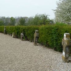
23 old grave crosses in the old cemetery of Bingelrade
3.6 kmReviews
Visited this place? Tap the stars to rate it and share your experience / photos with the community! Try now! You can cancel it anytime.
Discover hidden gems everywhere you go!
From secret cafés to breathtaking viewpoints, skip the crowded tourist spots and find places that match your style. Our app makes it easy with voice search, smart filtering, route optimization, and insider tips from travelers worldwide. Download now for the complete mobile experience.

A unique approach to discovering new places❞
— Le Figaro
All the places worth exploring❞
— France Info
A tailor-made excursion in just a few clicks❞
— 20 Minutes