
LSG-Suiedliches Strundetal, protected area in Germany
Location: Bergisch Gladbach
Inception: 2008
GPS coordinates: 50.99549,7.16514
Latest update: July 31, 2025 15:12
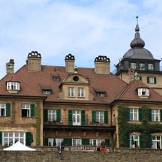
Schloss Lerbach
1.5 km
Papiermühle Alte Dombach
810 m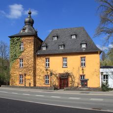
Burg Zweiffel
1.4 km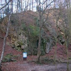
Schlade
1.4 km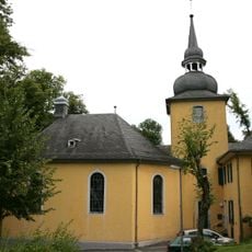
Gnadenkirche (Bergisch Gladbach)
2.2 km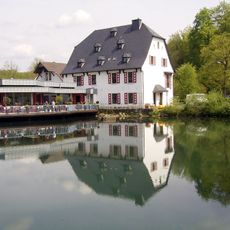
Malteser Komturei
1.7 km
Grube Blücher
1.9 km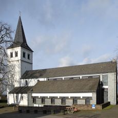
St. Antonius Abbas
1.6 km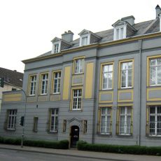
Stiftung Zanders--Papiergeschichtliche Sammlung
2.1 km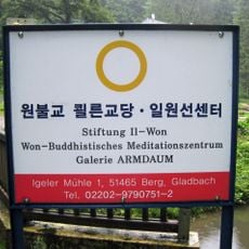
Igeler Mühle
326 m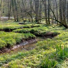
Strundetal
184 m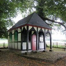
Rochuskapelle Sand
972 m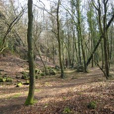
Die Schlade
1.4 km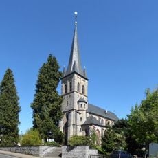
St. Severin's Church
912 m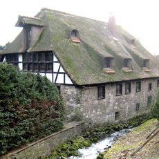
Maltesermühle
1.6 km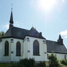
Sankt Johann Baptist (Bergisch Gladbach)
1.7 km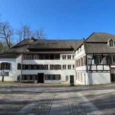
LVR Industrial Museum Paper Mill Old Dombach
776 m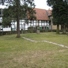
Alter Kirchhof Sand
1.1 km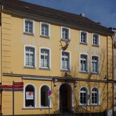
Hirsch-Apotheke
2.2 km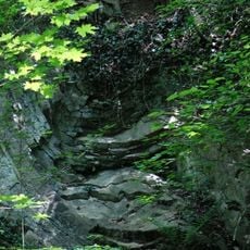
Steinbruch Neue Dombach
467 m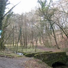
Hombachtal
784 m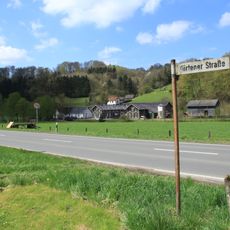
Schiff
940 m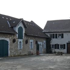
Irlenfelder Hof
1.5 km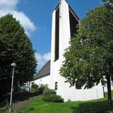
Saint Engelbert Church
910 m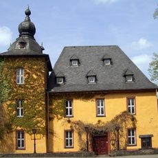
Bodendenkmal Burg Zweiffel
1.4 km
Altes Pfarrhaus Sand
1.2 km
Zillertal quarry
2 km
Am Waatsack
2 kmReviews
Visited this place? Tap the stars to rate it and share your experience / photos with the community! Try now! You can cancel it anytime.
Discover hidden gems everywhere you go!
From secret cafés to breathtaking viewpoints, skip the crowded tourist spots and find places that match your style. Our app makes it easy with voice search, smart filtering, route optimization, and insider tips from travelers worldwide. Download now for the complete mobile experience.

A unique approach to discovering new places❞
— Le Figaro
All the places worth exploring❞
— France Info
A tailor-made excursion in just a few clicks❞
— 20 Minutes