
LSG-Bergische Hochflaeche bei Roesrath, protected area in Germany
Location: Rösrath
Inception: 2008
GPS coordinates: 50.91149,7.21349
Latest update: June 10, 2025 22:31
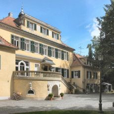
Eulenbroich Castle
2.3 km
Lüderich
2.2 km
Burg Honrath
3 km
Haus Venauen
1.9 km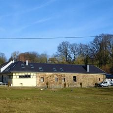
Burg Schönrath
2.4 km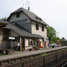
Rösrath station
2.4 km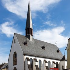
St. Nikolaus von Tolentino
2.6 km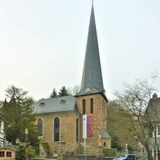
Evangelische Kirche Volberg
1.4 km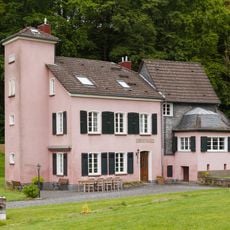
Haus Stade
1.1 km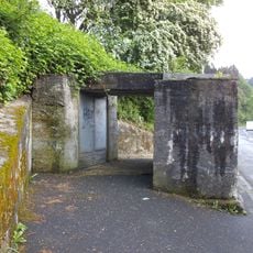
Bunker Hoffnungsthal
1.1 km
Haus Sommerberg
2.1 km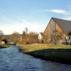
St. Servatius
1.3 km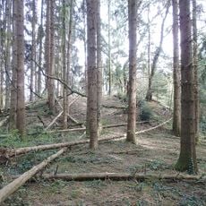
Motte Beienburg
3.2 km
Baumhofshaus
1.4 km
Evangelische Kirche (Honrath)
3 km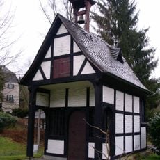
St Barbara's Chapel
3.2 km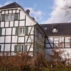
Klostermühle Rösrath
2.4 km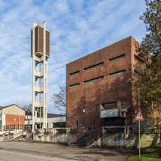
Heilig-Geist-Kirche (Rösrath-Forsbach)
2.6 km
Bunker Steinenbrück
3.1 km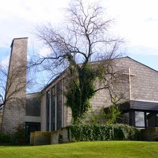
Christuskirche (Rösrath-Forsbach)
3 km
Ringwall Lüderich
2.3 km
Versöhnungskirche
3 km
Forsbacher Hof
3 km
Hofferhof 68
439 m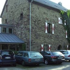
Burghaus Scheltensülz
2.1 km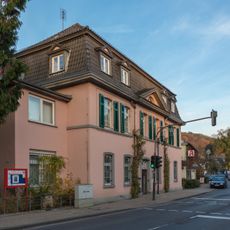
Rathaus Hoffnungsthal
1.2 km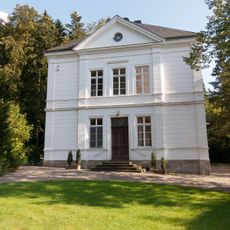
Villa Longree
1.5 km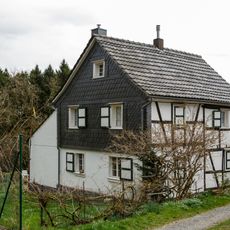
Fachwerkhaus Heideweg 76 (Forsbach)
3.3 kmReviews
Visited this place? Tap the stars to rate it and share your experience / photos with the community! Try now! You can cancel it anytime.
Discover hidden gems everywhere you go!
From secret cafés to breathtaking viewpoints, skip the crowded tourist spots and find places that match your style. Our app makes it easy with voice search, smart filtering, route optimization, and insider tips from travelers worldwide. Download now for the complete mobile experience.

A unique approach to discovering new places❞
— Le Figaro
All the places worth exploring❞
— France Info
A tailor-made excursion in just a few clicks❞
— 20 Minutes