
Waldgebiet Schnappach-Erweiterungsflaeche: Bergehalde Schnappach
Waldgebiet Schnappach-Erweiterungsflaeche: Bergehalde Schnappach, protected area in Germany
Location: Sulzbach/Saar
Inception: 1988
GPS coordinates: 49.30211,7.07844
Latest update: November 14, 2025 05:45
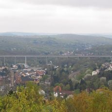
Sulzbachtalbrücke
1.6 km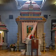
Sri Mahamariamman Tempel Saar
1.2 km
Allerheiligenkirche (Sulzbach/Saar)
1.5 km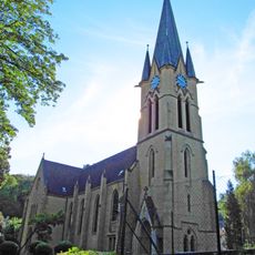
Evangelical Church
1.4 km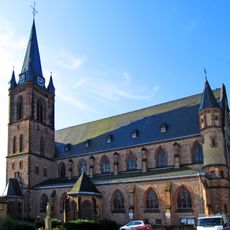
Herz-Jesu
937 m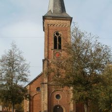
Evangelical Church
768 m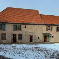
Salzhaus
1.3 km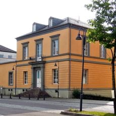
Villa Vopelius
1.5 km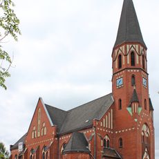
St. Marien
1.5 km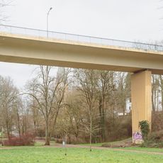
Bridge
1.6 km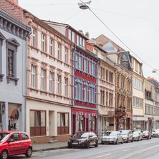
Ensemble Sulzbachtalstraße
1.2 km
Waldgebiet Schnappach [Feld-, Wald- und Wiesenteil Schnappach]
702 m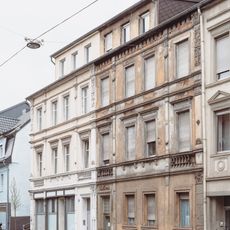
Sulzbachtalstraße 105/107
1.1 km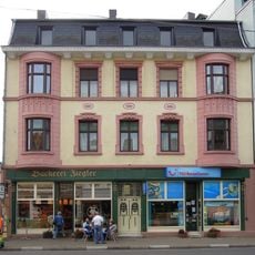
Sulzbachtalstraße 62
1.3 km
Waldgebiet zwischen Schnappach und Elversberg mit Ruhbachtal
1.8 km
Waeldchen bei Altenwald
989 m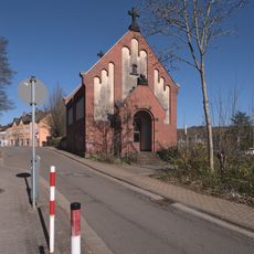
Leichenhaus des Knappschaftslazaretts
1.8 km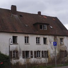
Schwesternwohnheim des Knappschaftslazaretts
1.6 km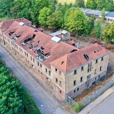
Schlafhaus
1.2 km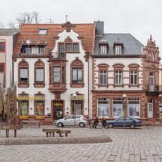
Marktstraße 1
1.4 km
Gradieranlage
1.3 km
Sulzbacher Kellertheater
433 m
Gefallenengedenkstätte
505 m
Wayside cross, Christianity, Catholic church building
1.1 km
Memorial
1.5 km
Memorial
1.6 km
Vehicle, minecart
1.3 km
Vehicle
1.3 kmReviews
Visited this place? Tap the stars to rate it and share your experience / photos with the community! Try now! You can cancel it anytime.
Discover hidden gems everywhere you go!
From secret cafés to breathtaking viewpoints, skip the crowded tourist spots and find places that match your style. Our app makes it easy with voice search, smart filtering, route optimization, and insider tips from travelers worldwide. Download now for the complete mobile experience.

A unique approach to discovering new places❞
— Le Figaro
All the places worth exploring❞
— France Info
A tailor-made excursion in just a few clicks❞
— 20 Minutes