
LSG-Wey, protected area in Germany
Location: Mönchengladbach
Inception: 1995
GPS coordinates: 51.22009,6.34679
Latest update: April 2, 2025 03:09
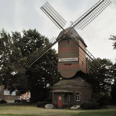
Narrenmühle
3.1 km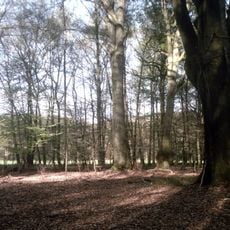
NSG Bockerter Heide
1.4 km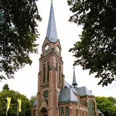
St. Peter
3.1 km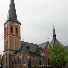
Immaculate Conception Church
3.5 km
Saint Nicholas Church
1.6 km
St.-Nikolaus-Kapelle
776 m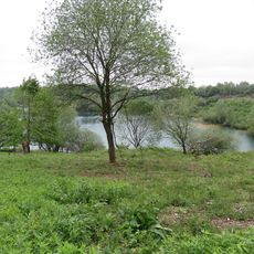
Baggersee Vorster Busch
3.4 km
Wegekreuz Hardt
1.7 km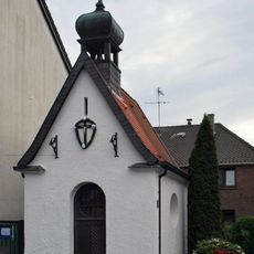
Marienkapelle Hardt
1.6 km
Kühlenhof 1-2
844 m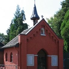
Agatha of Sicily Chapel
1.6 km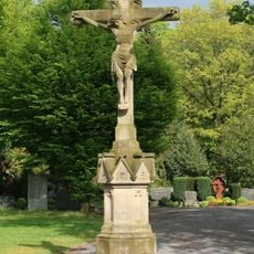
Hochkreuz
1.3 km
Moosheide 109
3.5 km
St. Mathias-Heiligenhäuschen
3.4 km
Tomper Straße 27
1.6 km
Transformatorenhaus
2.1 km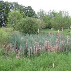
Bistheide
2.8 km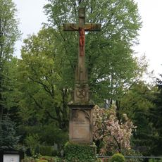
Hochkreuz Hardt-Venn
3.3 km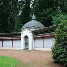
Louise-Gueury-Straße 398
3.5 km
Louise-Gueury-Straße 420
3.6 km
Hochkreuz
3.5 km
Rasseln 1
971 m
Kühlenhof 3
785 m
Priestergrabstätte Hardt-Venn
3.3 km
Hardter Waldstraße 16a
1.8 km
Wegekreuz Rasseln
1.2 km
Rasselner Kirchweg 12
1.5 km
Tomper Straße 21
1.6 kmReviews
Visited this place? Tap the stars to rate it and share your experience / photos with the community! Try now! You can cancel it anytime.
Discover hidden gems everywhere you go!
From secret cafés to breathtaking viewpoints, skip the crowded tourist spots and find places that match your style. Our app makes it easy with voice search, smart filtering, route optimization, and insider tips from travelers worldwide. Download now for the complete mobile experience.

A unique approach to discovering new places❞
— Le Figaro
All the places worth exploring❞
— France Info
A tailor-made excursion in just a few clicks❞
— 20 Minutes