
Elmpter Wald, western part of two same-named protected landscapes in Niederkrüchten, Germany
Location: Niederkrüchten
Inception: 1987
GPS coordinates: 51.21125,6.07892
Latest update: April 11, 2025 16:28

Hillenraad Castle
3.2 km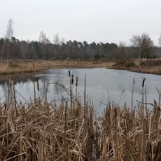
Elmpter Schwalmbruch
2.6 km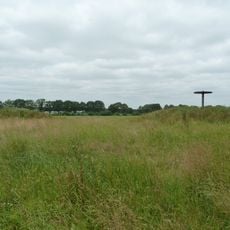
Grietjens Gericht
3.5 km
Sint-Lambertuskerk
3.7 km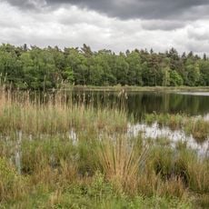
Lüsekamp und Boschbeek
3.8 km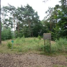
Tumuli Bosberg Swalmen
2.5 km
Tumuli Kroppestraat Swalmen
2.3 km
Zuidewijck Spick Ensemble
2.3 km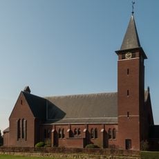
Onze-Lieve-Vrouw van Goede Raad en Heilige Jozefkerk
3.1 km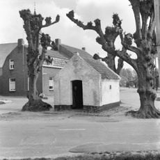
Oberskapel
2.4 km
Elmpter Wald Golf Club
3.2 km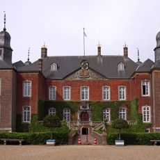
Hillenraad Castle: main building
3.3 km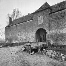
Zuidewijck Spick: access bridge
2.3 km
Town hall Swalmen
3.8 km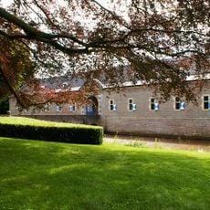
Hillenraad Castle: bridge over the outer moat to the forecourt
3.3 km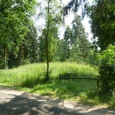
Tumulus #46021
2.2 km
Marktstraat 6, Swalmen
3.8 km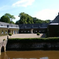
Hillenraad Castle: bridge with lions over the inner moat
3.3 km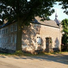
Zuidewijck Spick: castle farm
2.3 km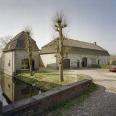
Zuidewijck Spick: outbuildings
2.3 km
Hillenraad Castle: walls
3.3 km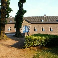
Hillenraad Castle: outbuildings
3.3 km
Hillenraad Castle: garden and park landscaping
3.3 km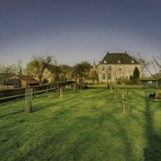
Zuidewijck Spick: park landscaping
2.3 km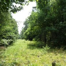
Roman road near Swalmen
2.1 km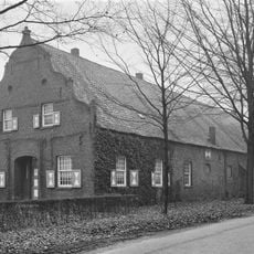
Hillenraad Castle: barn
3.3 km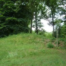
Tumulus #46022
2.2 km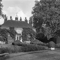
Hillenraad Castle: garden house in the former vegetable garden
3.2 kmReviews
Visited this place? Tap the stars to rate it and share your experience / photos with the community! Try now! You can cancel it anytime.
Discover hidden gems everywhere you go!
From secret cafés to breathtaking viewpoints, skip the crowded tourist spots and find places that match your style. Our app makes it easy with voice search, smart filtering, route optimization, and insider tips from travelers worldwide. Download now for the complete mobile experience.

A unique approach to discovering new places❞
— Le Figaro
All the places worth exploring❞
— France Info
A tailor-made excursion in just a few clicks❞
— 20 Minutes