
Niersniederung, protected landscape in Viersen, Germany
Location: Viersen
Inception: 1995
GPS coordinates: 51.24215,6.44736
Latest update: April 1, 2025 02:35

Schloss Neersen
2.3 km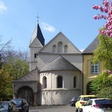
Neuwerk Nunnery
2.7 km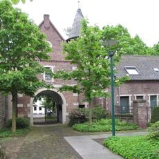
Schlossmühle Neersen
2.2 km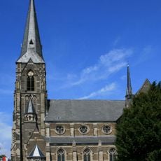
Sacred Heart Church
2.1 km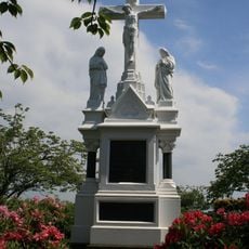
Hochkreuz Bockersend
1.8 km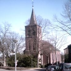
St. Helena
2.5 km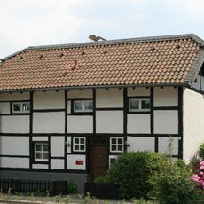
Am Haus Lütz 49
2.6 km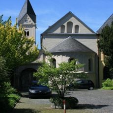
Convent church Neuwerk
2.6 km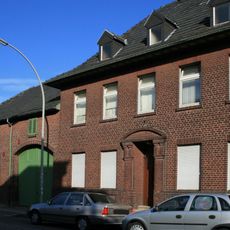
Beecker Straße 99
1.5 km
Priorhaus Neuwerk
2.6 km
Honschaftskapelle Dünn
2.3 km
Bockersend 152
1.5 km
Nelkenstraße 30-32
2.6 km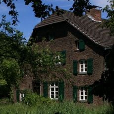
Loosenweg 193
2.5 km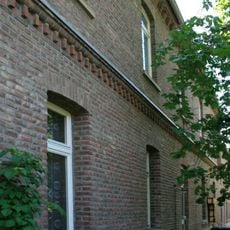
Hansastraße 5
2.2 km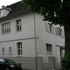
Beethovenstraße 21
1.8 km
Hansastraße 97
2.1 km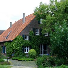
Oberstraße 39
2.3 km
Hansastraße 3
2.2 km
Hansastraße 1
2.2 km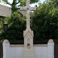
Wegekreuz Hansastraße
2.2 km
Oberstraße 33
2.3 km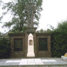
Gedenkkreuz „Zum Lockhütter Weg“
1.5 km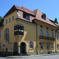
Rathaus Neuwerk
2.5 km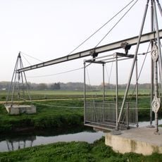
Erlebnisbrücke Nordkanal
1.9 km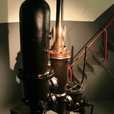
Kaldenkircher Straße 250
1.9 km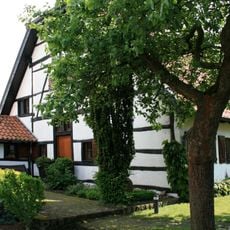
Bockersend 96
1.7 km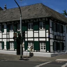
Dünner Straße 273
2.5 kmReviews
Visited this place? Tap the stars to rate it and share your experience / photos with the community! Try now! You can cancel it anytime.
Discover hidden gems everywhere you go!
From secret cafés to breathtaking viewpoints, skip the crowded tourist spots and find places that match your style. Our app makes it easy with voice search, smart filtering, route optimization, and insider tips from travelers worldwide. Download now for the complete mobile experience.

A unique approach to discovering new places❞
— Le Figaro
All the places worth exploring❞
— France Info
A tailor-made excursion in just a few clicks❞
— 20 Minutes