
Ehemaliges Kiesabbaugebiet südöstlich Pulheim, Landschaftsschutzgebiet in Nordrhein-Westfalen
Location: Pulheim
Inception: 2018
GPS coordinates: 50.97827,6.83245
Latest update: April 16, 2025 11:37
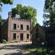
Haus Orr
3.2 km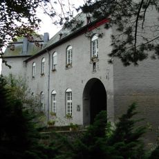
Burg Geyen
3.2 km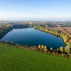
Baadenberger Senke, Stöckheimer See und Große Laache
1.8 km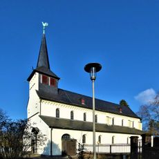
St. Severin
3.7 km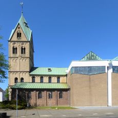
St. Kosmas und Damian Pulheim
3.4 km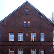
Hofanlage Fettenhof
2.6 km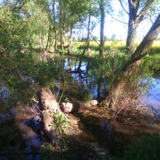
Orrer Wald und Große Laache
2.6 km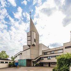
Christi Geburt
2.3 km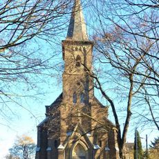
St. Johannes vor dem Lateinischen Tore
2.2 km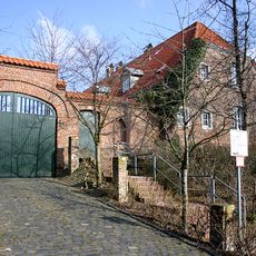
Hofanlage Arnoldshof
2.5 km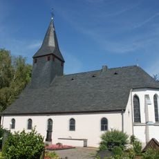
St. Martinus (Pulheim-Sinthern)
3.6 km
Landschaftsschutzgebiet Erholungsgebiet Stöckheimer Hof und Freiraum Esch/Auweiler
3.8 km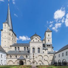
Abteikirche St. Nikolaus Brauweiler
3.9 km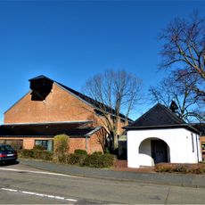
St. Elisabeth
3.9 km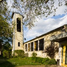
Emmaus-Kirche
3.9 km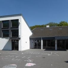
Evangelisches Gemeindezentrum (Köln-Pesch)
3.6 km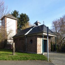
Kapelle Beatae Mariae Virginis (Köln-Auweiler)
3.1 km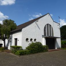
Alte Kirche (Köln-Pesch)
3.8 km
Umgebung Orrer Busch und Große Laache
2.7 km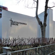
Auferstehungskirche
2.6 km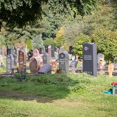
Landschaftsschutzgebiet Äußerer Grüngürtel Nüssenberger Busch bis Müngersdorf
2.4 km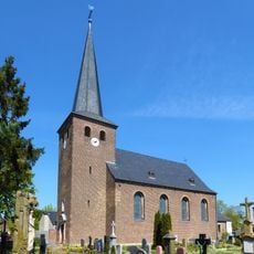
St. Jakobus
1.7 km
St Viktor's Church
3.3 km
Unter Gottes Gnaden
1.1 km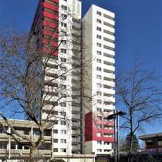
Görlinger-Zentrum
2.5 km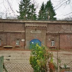
Zwischenwerk IIIb
3 km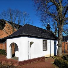
Donatuskapelle Köln-Pesch
3.9 km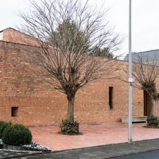
Weizenweg 16
3.8 kmReviews
Visited this place? Tap the stars to rate it and share your experience / photos with the community! Try now! You can cancel it anytime.
Discover hidden gems everywhere you go!
From secret cafés to breathtaking viewpoints, skip the crowded tourist spots and find places that match your style. Our app makes it easy with voice search, smart filtering, route optimization, and insider tips from travelers worldwide. Download now for the complete mobile experience.

A unique approach to discovering new places❞
— Le Figaro
All the places worth exploring❞
— France Info
A tailor-made excursion in just a few clicks❞
— 20 Minutes