
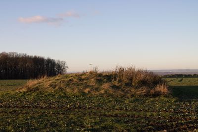
Vierzehnheiligen tumulus, tumulus on a hill near Jena, Thuringia, Germany
Location: Jena
Elevation above the sea: 352.8 m
GPS coordinates: 50.97193,11.52670
Latest update: March 3, 2025 13:40
Windknollen
3.9 km
Protestant Church (Vierzehnheiligen)
686 m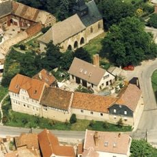
Kloster Kapellendorf
4 km
Wasserburg Isserstedt
1.4 km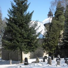
Dorfkirche Cospeda
3.5 km
Dorfkirche Lehesten
3.9 km
Dorfkirche Isserstedt
1.3 km
St. Michael
2.6 km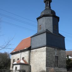
St. Nikolaus
2.3 km
Dorfkirche Krippendorf
1.7 km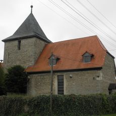
Protestant Church Hohlstedt
3.6 km
Dorfkirche Kleinromstedt
1.8 km
St. Anna
3.9 km
Dorfkirche Kötschau
3.1 km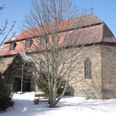
Dorfkirche Closewitz
3.4 km
St. Marien
3.3 km
Dorfkirche Altengönna
2.7 km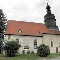
Dorfkirche Hermstedt
2.5 km
Museum 1806
3.6 km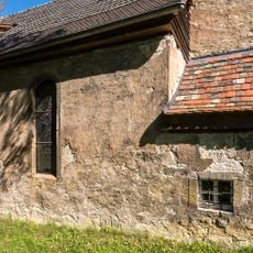
Kirche Cospeda
3.5 km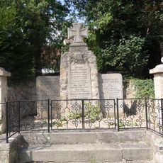
War memorial Lützeroda
2.3 km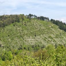
Isserstedter Holz - Mühltal - Windknollen
3.1 km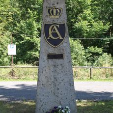
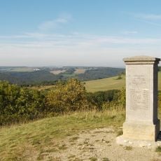
Carl-August-Stein
3.1 km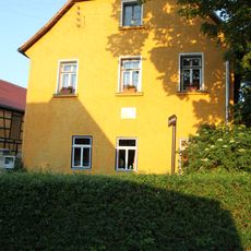
An den Linden 17
3.5 km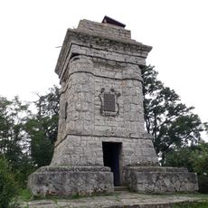
Kriegerdenkmal auf dem Sperlingsberg
3.6 km
Vierzehnheiligen 1
616 m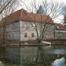
Deutschordensresidenz St. Johannes, Lehesten
3.9 km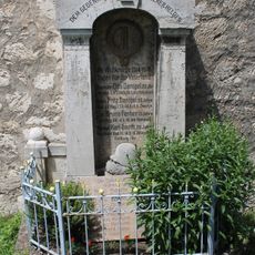
War memorial Lehesten
3.9 kmReviews
Visited this place? Tap the stars to rate it and share your experience / photos with the community! Try now! You can cancel it anytime.
Discover hidden gems everywhere you go!
From secret cafés to breathtaking viewpoints, skip the crowded tourist spots and find places that match your style. Our app makes it easy with voice search, smart filtering, route optimization, and insider tips from travelers worldwide. Download now for the complete mobile experience.

A unique approach to discovering new places❞
— Le Figaro
All the places worth exploring❞
— France Info
A tailor-made excursion in just a few clicks❞
— 20 Minutes