
Wohnblockbebauung Poststraße 4
Wohnblockbebauung Poststraße 4, Denkmalgeschütztes Bauwerk in Herne-Mitte
Location: Herne-Mitte (district)
GPS coordinates: 51.53985,7.21892
Latest update: March 3, 2025 22:31

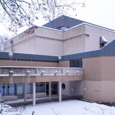
St. Bonifatius
344 m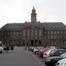
Rathaus Herne
212 m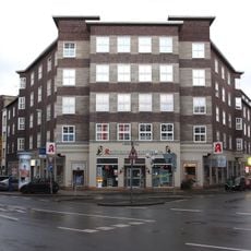
Bebelstraße 12-16, Neustraße 19-21
116 m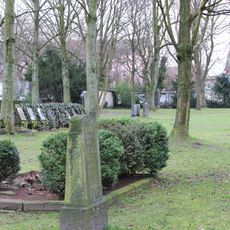
Grabstätten auf dem ehem. Friedhof Bergelmanns Hof
329 m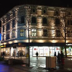
Wohn- und Geschäftshaus Bahnhofstraße 45
254 m
Wohnblockbebauung Poststraße 6
18 m
22 Grabsteine
342 m
Poststraße 13
90 m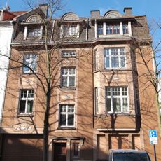
Poststraße 19
124 m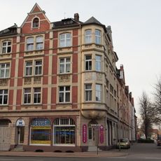
Wohn- und Geschäftshaus Neustraße 24
64 m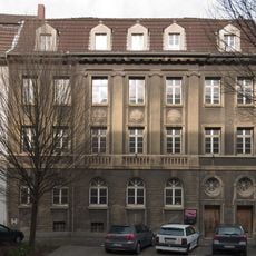
Königliches Bergrevier, Verwaltungsgebäude, leerstehend
200 m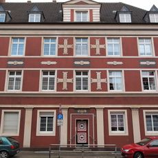
Neustraße 29
37 m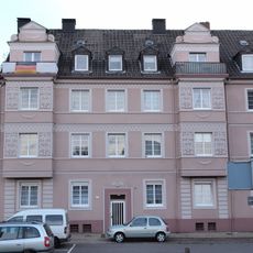
Freiligrathstraße 5
73 m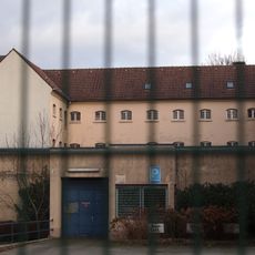
Hafthaus Herne, Hofseite
296 m
Wohnblockbebauung Poststraße 5
28 m
Wohnhaus Freiligrathstraße 10
86 m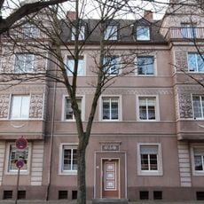
Wohnblockbebauung Poststraße 7
25 m
Poststraße 11
79 m
Städtisches Verwaltungsgebäude
196 m
Wohn- und Geschäftshaus Heinrichstraße 5
333 m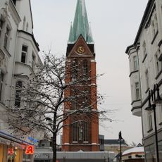
Kirchturm der St. Bonifatius (Herne)
347 m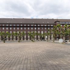
Polizeidienstgebäude
177 m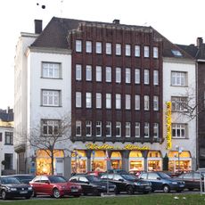
Wohn- und Geschäftshaus Bebelstraße 18
90 m
Wohn- und Bürohaus Bebelstraße 22 / Freiligrathstraße
98 m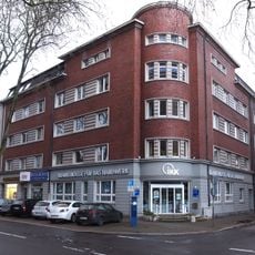
Wohn- und Bürohaus Bebelstraße 24
122 m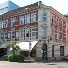
Wohn- und Geschäftshaus Mont-Cenis-Straße 7 / Schulstraße 11
331 m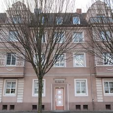
Wohnblockbebauung Poststraße 3
39 m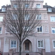
Wohnblockbebauung Poststraße 1
56 mReviews
Visited this place? Tap the stars to rate it and share your experience / photos with the community! Try now! You can cancel it anytime.
Discover hidden gems everywhere you go!
From secret cafés to breathtaking viewpoints, skip the crowded tourist spots and find places that match your style. Our app makes it easy with voice search, smart filtering, route optimization, and insider tips from travelers worldwide. Download now for the complete mobile experience.

A unique approach to discovering new places❞
— Le Figaro
All the places worth exploring❞
— France Info
A tailor-made excursion in just a few clicks❞
— 20 Minutes