
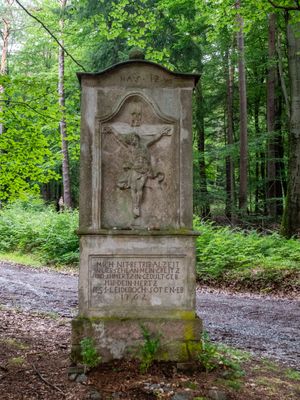
Weisses Bild, wayside shrine
Location: Leidersbach
Inception: 1762
GPS coordinates: 49.91638,9.24841
Latest update: October 17, 2025 10:40
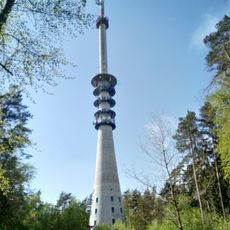
Pfaffenberg transmitter
1.9 km
Altenburg
2.6 km
Hohe Wart Haus
639 m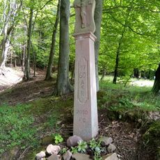
Bildstock
2.1 km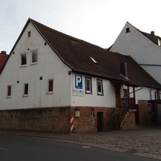
Wohnhaus
2.6 km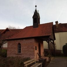
Wegkapelle
2.5 km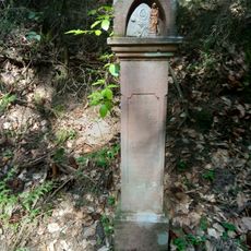
Gedenkstein
970 m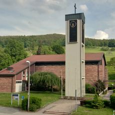
St. Maria Magdalena
2.6 km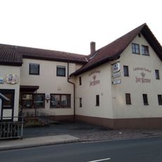
Gasthaus
2.6 km
Wohnhaus
2.5 km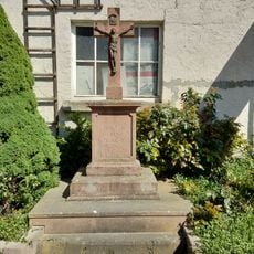
Kreuz
2.4 km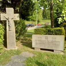
Gefallenendenkmal
2.6 km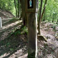
Bildstock
2.1 km
Kriegerdenkmal
2.6 km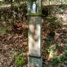
Bildstock
1.1 km
Cultural heritage D-6-6021-0038 in Sulzbach am Main
2.5 km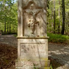
Bildstock
422 m
St. Rochus
2.7 km
Bildstock
2.2 km
Bildstock
2.5 km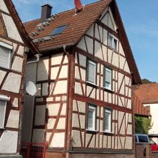
Wohnhaus
2.6 km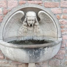
Laufbrunnen
2.7 km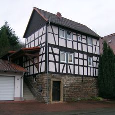
Wohnhaus
2.7 km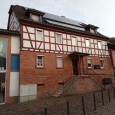
Wohnhaus
2.7 km
Wohnhaus
2.5 km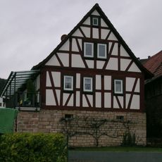
Wohnhaus
2.3 km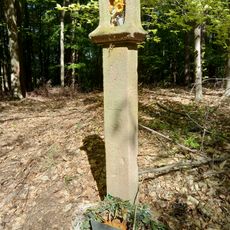
Bildstock
1.3 km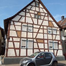
Wohnhaus
2.6 kmReviews
Visited this place? Tap the stars to rate it and share your experience / photos with the community! Try now! You can cancel it anytime.
Discover hidden gems everywhere you go!
From secret cafés to breathtaking viewpoints, skip the crowded tourist spots and find places that match your style. Our app makes it easy with voice search, smart filtering, route optimization, and insider tips from travelers worldwide. Download now for the complete mobile experience.

A unique approach to discovering new places❞
— Le Figaro
All the places worth exploring❞
— France Info
A tailor-made excursion in just a few clicks❞
— 20 Minutes