
Vinnhorst, District in the city district Nord in Hannover, Germany
Location: Nord
Elevation above the sea: 51 m
Shares border with: Ledeburg, Vahrenwald, Hainholz, Nordhafen, Brink-Hafen
GPS coordinates: 52.42230,9.70310
Latest update: March 3, 2025 02:18
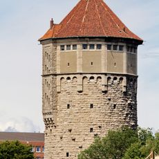
Wasserturm
2.1 km
Beneckeallee 32
416 m
Schulenburger Landstraße 167-225
769 m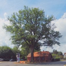
Natural monument Quercus robur Alt-Vinnhorst 64
323 m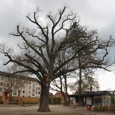
Natural monument Quercus robur Fischteichweg 1
110 m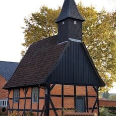
Alte Kapelle
1.9 km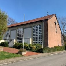
St. Hedwig
336 m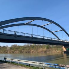
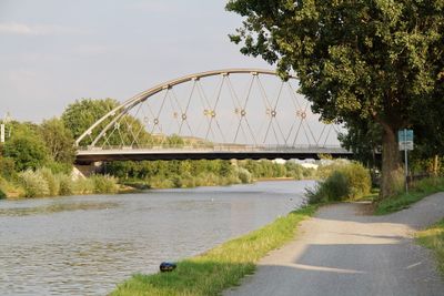
Bridge Friedenauer Straße
1.2 km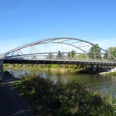
Bridge Alt-Vinnhorst
234 m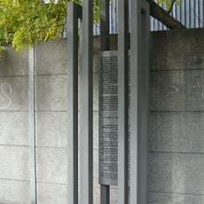
Langenhagen concentration camp memorial
1.4 km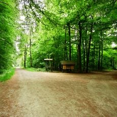
Mecklenheide/Vinnhorst
1.6 km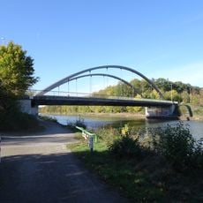
Schulenburger Landstraße
943 m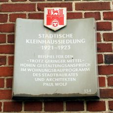
Stadttafel Städische Kleinhaussiedlung
774 m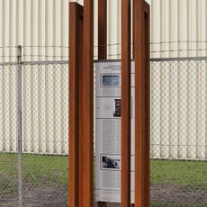
Mahnmal Hansastraße
1.5 km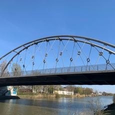
Brücke Beneckeallee
417 m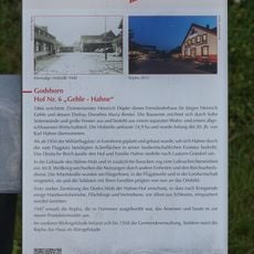
GLIEM plaque 64 Hof Nr. 6
1.8 km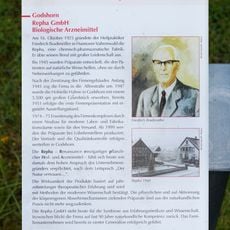
GLIEM Tafel 63 Repha GmbH - Biologische Arzeneimittel
1.8 km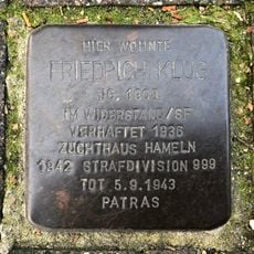
Stolperstein dedicated to Friedrich Klug
1.4 km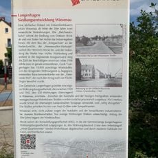
GLIEM Tafel 49 Siedlungsentwicklung Wiesenau
1.6 km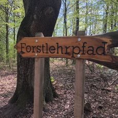
Forstlehrpfad Mecklenheider Forst
1.2 km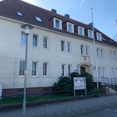
Rathaus Vinnhorst
361 m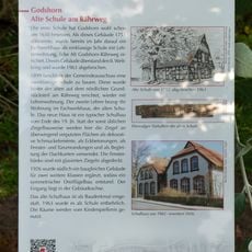
GLIEM Tafel 42 Alte Schule am Rährweg
1.9 km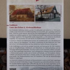
GLIEM Tafel 10 Das Niedersachsenhaus
1.7 km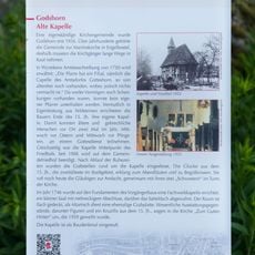
GLIEM Tafel 39 Alte Kapelle
1.9 km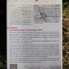
GLIEM Tafel 52 Fremdarbeiterlager Schulenburger Mühle
2.1 km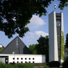
Zachäus-Kirche
2.2 km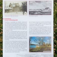
GLIEM Tafel 109 Ortsteil Schulenburg-Süd
2.1 km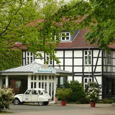
Hunting Lodge Entenfang
2.3 kmVisited this place? Tap the stars to rate it and share your experience / photos with the community! Try now! You can cancel it anytime.
Discover hidden gems everywhere you go!
From secret cafés to breathtaking viewpoints, skip the crowded tourist spots and find places that match your style. Our app makes it easy with voice search, smart filtering, route optimization, and insider tips from travelers worldwide. Download now for the complete mobile experience.

A unique approach to discovering new places❞
— Le Figaro
All the places worth exploring❞
— France Info
A tailor-made excursion in just a few clicks❞
— 20 Minutes