
Stadtbefestigung, cultural heritage monument D-3-77-129-88 (0) in Kemnath, Bavaria
Location: Kemnath
Address: Schmidtstraße 21,Trautenbergstraße 36
GPS coordinates: 49.87078,11.88974
Latest update: April 12, 2025 08:52

Mariä Himmelfahrt
62 m
Brauhausstraße 9, Schützengraben 21
148 m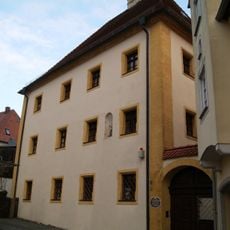
Alte Fronveste
85 m
Altes Rathaus
90 m
Stadtplatz 40
39 m
Grabenkirche
230 m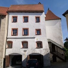
Schmidtstraße 21
62 m
Stadtplatz 24, 26
98 m
Brunnen
88 m
Brunnen
119 m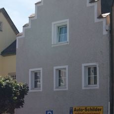
Stadtplatz 36
52 m
Trautenbergstraße 24
91 m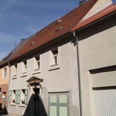
Schmidtstraße 15
49 m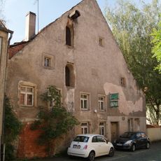
Trautenbergstraße 8
162 m
Schmidtstraße 17
52 m
Torhaus
69 m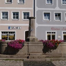
Brunnen
13 m
Ehemalige Fleischbank
121 m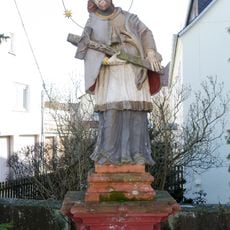
Brückenfigur des Heiligen Johann Nepomuk
101 m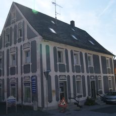
Friedrichstraße 1
147 m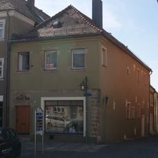
Stadtplatz 30
68 m
Doppelhaus
129 m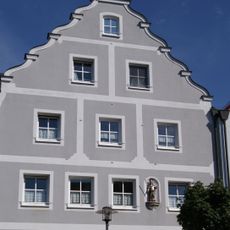
Hausfigur des heiligen Primianus
9 m
Cammerloherplatz 12
148 m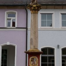
Bildstock
60 m
Trautenbergstraße 6
176 m
Rathausplatz 1
112 m
Schmidtstraße 19
58 mReviews
Visited this place? Tap the stars to rate it and share your experience / photos with the community! Try now! You can cancel it anytime.
Discover hidden gems everywhere you go!
From secret cafés to breathtaking viewpoints, skip the crowded tourist spots and find places that match your style. Our app makes it easy with voice search, smart filtering, route optimization, and insider tips from travelers worldwide. Download now for the complete mobile experience.

A unique approach to discovering new places❞
— Le Figaro
All the places worth exploring❞
— France Info
A tailor-made excursion in just a few clicks❞
— 20 Minutes