
Fortified tower, Rundturm
Location: Eichstätt
Part of: City walls of Eichstätt
Address: Bei St. Walburg
GPS coordinates: 48.89658,11.18304
Latest update: April 2, 2025 10:15
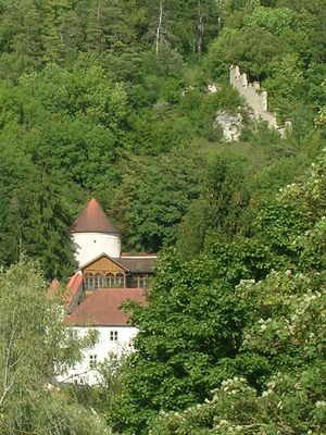
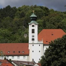
Benediktinerinnenabtei St. Walburg
98 m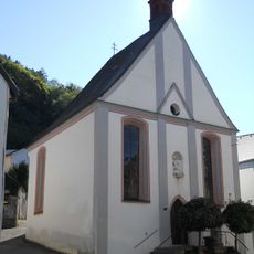
Mariahilf-Kapelle
120 m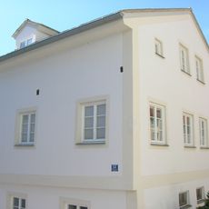
Wohnhaus
206 m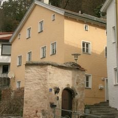
Kapellbuck 4
94 m
Walburgiberg 2
164 m
Stadtmauer
60 m
Westenstraße 83
174 m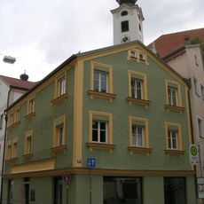
Westenstraße 26
143 m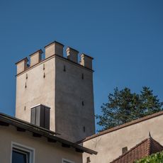
Gartenturm
195 m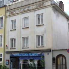
Bürgerhaus
179 m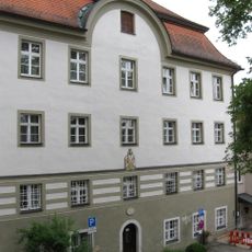
Walburgiberg 5 (Eichstätt)
130 m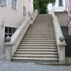
Walburgistiege
142 m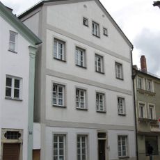
Westenstraße 28
131 m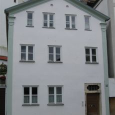
Westenstraße 30
123 m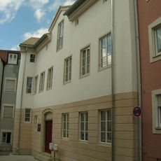
Pedettistraße 38
172 m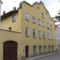
Ehemaliges Gasthaus
154 m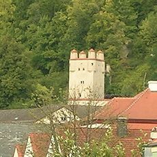
Scharwachturm
99 m
Ehemaliger Stadel
79 m
Benefiziatenhaus
112 m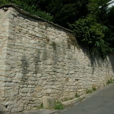
Stützmauer Kapellbuck
95 m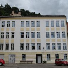
Walburgiberg 4
140 m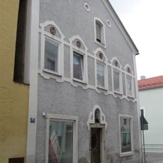
Westenstraße 37
143 m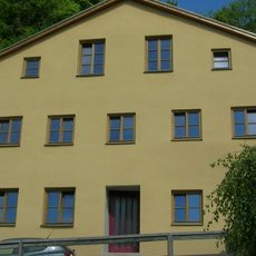
Kapellbuck 7
77 m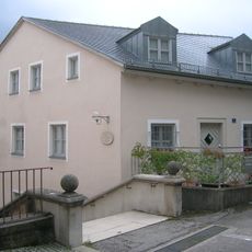
Walburgiberg 7
137 m
Stadtmauerrest mit Hochwasserstandsmarke
101 m
Walburgiberg 1
160 m
Walburgiberg 3
146 m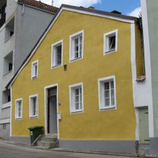
Kleines Wohnhaus
197 mVisited this place? Tap the stars to rate it and share your experience / photos with the community! Try now! You can cancel it anytime.
Discover hidden gems everywhere you go!
From secret cafés to breathtaking viewpoints, skip the crowded tourist spots and find places that match your style. Our app makes it easy with voice search, smart filtering, route optimization, and insider tips from travelers worldwide. Download now for the complete mobile experience.

A unique approach to discovering new places❞
— Le Figaro
All the places worth exploring❞
— France Info
A tailor-made excursion in just a few clicks❞
— 20 Minutes