
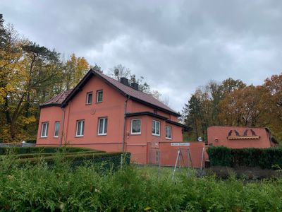
Ziegelei, Wohnplatz von Trebbin, Landkreis Teltow-Fläming
Location: Trebbin
Elevation above the sea: 40 m
GPS coordinates: 52.19607,13.22248
Latest update: March 3, 2025 02:35
Vorderer Löwendorfer Berg
3.5 km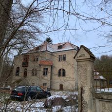
Landwerk Ahrensdorf
2.9 km
Burg Trebbin
2 km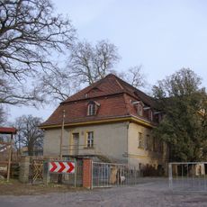
Gutshaus Großbeuthen
6 km
Landhaus Villa Schönblick
5.7 km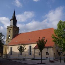
St. Marienkirche
2.1 km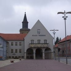
Rathaus Trebbin
2.1 km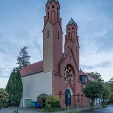
St. Joseph (Trebbin)
2.4 km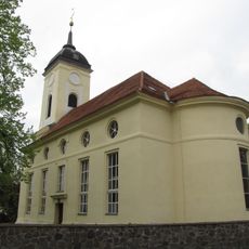
Dorfkirche
4.3 km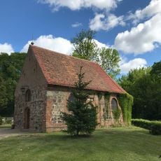
St.-Annen-Kapelle
2.6 km
Neues Schützenhaus
2.8 km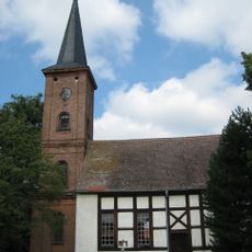
Protestant Church
6.1 km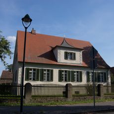
Pfarrhaus Christinendorf
4.4 km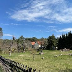
Finkenberg (Trebbin)
2.6 km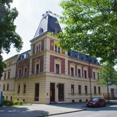
Berliner Straße 43
2.3 km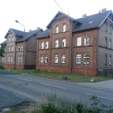
Industriestraße 1 b
2.4 km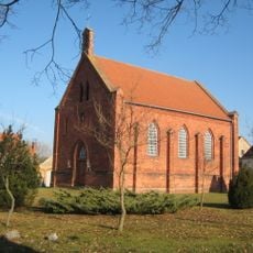
Dorfkirche Liebätz
5.6 km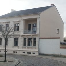
Puschkinstraße 1
2.1 km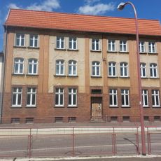
Zossener Straße 5
2.2 km
Ausbau Zelle
2 km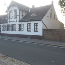
Luckenwalder Straße 5
2.1 km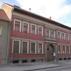
Luckenwalder Straße 2
2.1 km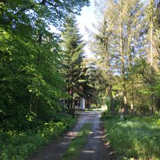
Lenzburg
3.3 km
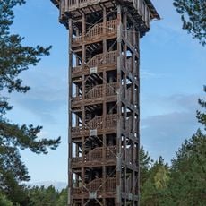
Löwendorfer Berg Observation Tower
3.5 km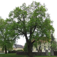
Naturdenkmal Zwei Eichen an der Kirche Christinendorf
4.3 km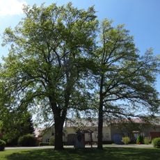
Naturdenkmal Eiche am Anger in Glau
6.2 km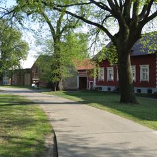
Naturdenkmal Ulme (Ulmus spec.) (Baum) Ortskern, vor Haus Nr. 8; Flur 2, Flurstück 8 in Lüdersdorf
4.5 km
Naturdenkmal Ulme (Baum) Lüdersdorf, Ortskern, vor Haus Nr. 13; Flur 2, Flurstück 69 in Lüdersdorf
4.7 kmReviews
Visited this place? Tap the stars to rate it and share your experience / photos with the community! Try now! You can cancel it anytime.
Discover hidden gems everywhere you go!
From secret cafés to breathtaking viewpoints, skip the crowded tourist spots and find places that match your style. Our app makes it easy with voice search, smart filtering, route optimization, and insider tips from travelers worldwide. Download now for the complete mobile experience.

A unique approach to discovering new places❞
— Le Figaro
All the places worth exploring❞
— France Info
A tailor-made excursion in just a few clicks❞
— 20 Minutes