
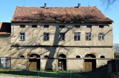
Am Gemeindeamt 2, outbuilding in Ottenhain
Location: Kottmar
Part of: Am Gemeindeamt 1; 2; 3; 4; 6
Address: Am Gemeindeamt 2
GPS coordinates: 51.06255,14.68679
Latest update: March 6, 2025 20:05
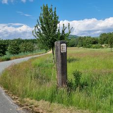
Marker stone near Ottenhain
971 m
Manor estate Oberottenhain
1.3 km
Wohnhaus Obere Dorfstraße 7
1.8 km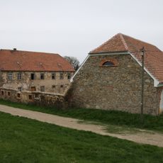
Wohnstallhaus und zwei Seitengebäude eines Dreiseithofes An der Hohle 10
2 km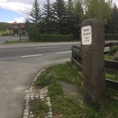
Marker stone Löbauer Straße
294 m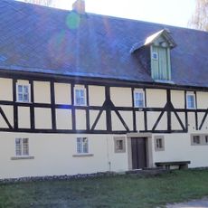
Hauptstraße 15
222 m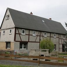
Wohnhaus (Erd- und Obergeschoss Fachwerk) Niedere Dorfstraße 28
2.1 km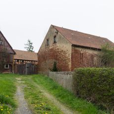
Am Denkmal 4
1.6 km
Niedere Dorfstraße 31
2.1 km
Niedere Dorfstraße 35
2.1 km
Niedere Dorfstraße 42
2 km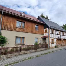
Niedere Dorfstraße 43
2 km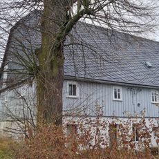
Löbauer Straße 10
384 m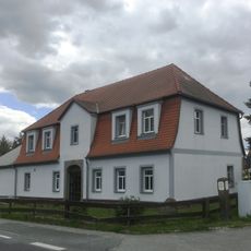
Löbauer Straße 1
287 m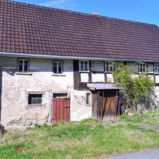
Hauptstraße 35
164 m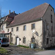
Waldstraße 6; 9
1.3 km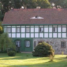
Hauptstraße 21
785 m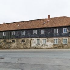
Schulberg 8
1.9 km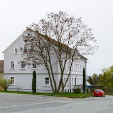
Schulberg 9
1.9 km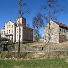
Manor estate Niederottenhain
107 m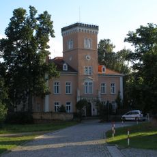
Am Gemeindeamt 1; 2; 3; 4; 6
37 m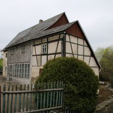
Wohnhaus mit Oberlaube und Fachwerkanbau Niedere Dorfstraße 30
2.1 km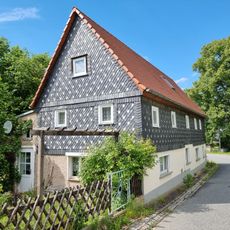
Wohnstallhaus mit angebautem Wirtschaftsteil Obere Dorfstraße 36
1.4 km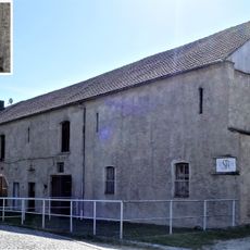
Am Gemeindeamt 4
56 m
Wohnhaus Niedere Dorfstraße 58
1.9 km
Niedere Dorfstraße 52
1.9 km
Häusleranwesen Niedere Dorfstraße 46
2 km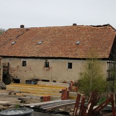
Wohnstallhaus An der Hohle 9
2 kmReviews
Visited this place? Tap the stars to rate it and share your experience / photos with the community! Try now! You can cancel it anytime.
Discover hidden gems everywhere you go!
From secret cafés to breathtaking viewpoints, skip the crowded tourist spots and find places that match your style. Our app makes it easy with voice search, smart filtering, route optimization, and insider tips from travelers worldwide. Download now for the complete mobile experience.

A unique approach to discovering new places❞
— Le Figaro
All the places worth exploring❞
— France Info
A tailor-made excursion in just a few clicks❞
— 20 Minutes