
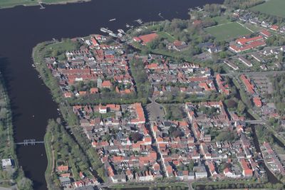
Historischer Stadtkern Friedrichstadt
Historischer Stadtkern Friedrichstadt, Der Denkmalbereich umfasst die als holländische Flüchtlingsgründung auf inselartiger Fläche im Unterlauf der Eider entstandene Planstadt des 17. Jahrhunderts. Er wird im Wesentlichen wie folgt begrenzt: 1. im Norden durch die Treene, 2. im Osten
Location: Friedrichstadt
Address: Historischer Stadtkern Friedrichstadt
GPS coordinates: 54.37756,9.08837
Latest update: March 8, 2025 16:46
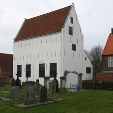
Mennonitenkirche Friedrichstadt
134 m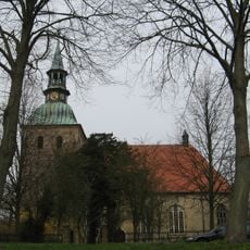
Sankt-Christophorus-Kirche, Friedrichstadt
44 m
Neberhaus
100 m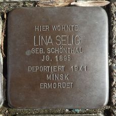
Stolperstein dedicated to Lina Selig
174 m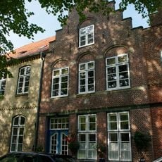
Wohnhaus
61 m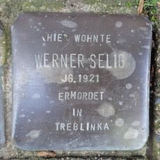
Stolperstein dedicated to Werner Selig
174 m
Wohnhaus
115 m
Wohnhaus
125 m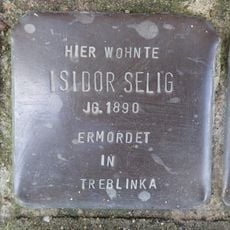
Stolperstein dedicated to Isidor Selig
174 m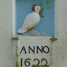
Relieftafel (Vogel m. Zweig)
167 m
Wohnhaus
60 m
Wohnhaus mit Haustür
117 m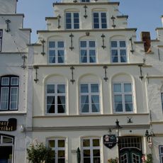
Wohnhaus
139 m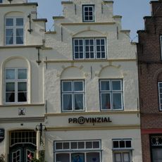
Wohnhaus
130 m
Wohnhaus
85 m
Wohn- und Geschäftshaus
157 m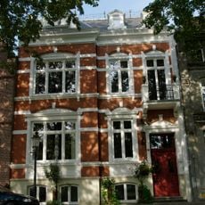
Wohnhaus
102 m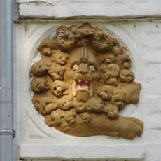
Relieftafel (zwei Löwenköpfe)
137 m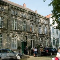
Wohnhaus
126 m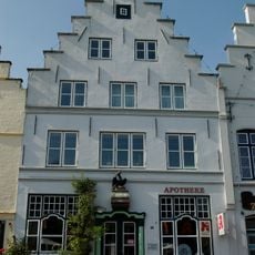
Ehem. Apotheke
152 m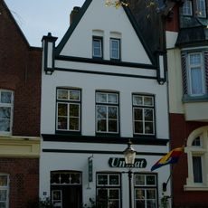
Wohnhaus
169 m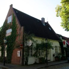
Wohnhaus
83 m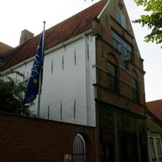
Sog. Alte Münze
128 m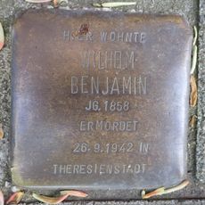
Stolperstein dedicated to Wilhelm Benjamin
134 m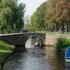
Steinbrücke
111 m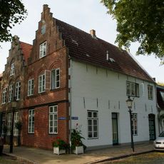
Wohnhaus
63 m
Wohnhaus
42 m
Wohnhaus
66 mReviews
Visited this place? Tap the stars to rate it and share your experience / photos with the community! Try now! You can cancel it anytime.
Discover hidden gems everywhere you go!
From secret cafés to breathtaking viewpoints, skip the crowded tourist spots and find places that match your style. Our app makes it easy with voice search, smart filtering, route optimization, and insider tips from travelers worldwide. Download now for the complete mobile experience.

A unique approach to discovering new places❞
— Le Figaro
All the places worth exploring❞
— France Info
A tailor-made excursion in just a few clicks❞
— 20 Minutes