
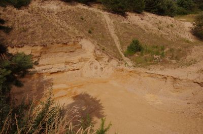
Ehemalige Sandgrube E von Streitdorf, Geotop in Landkreis Pfaffenhofen a.d.Ilm in Bavaria, Germany
Location: Pfaffenhofen an der Ilm
Elevation above the sea: 480 m
Length: 200 m
Width: 100 m
GPS coordinates: 48.53297,11.54374
Latest update: March 31, 2025 10:06

Kreuzkirche
2.5 km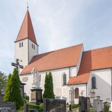
St. Andreas
2.7 km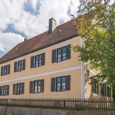
Pfarrhaus
2 km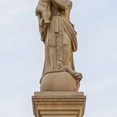
Mariensäule
2.6 km
Ortskapelle
566 m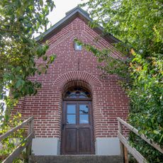
Backsteinkapelle
755 m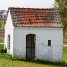
Feldkapelle
873 m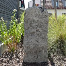
Burgfriedenssäule/-stein
2 km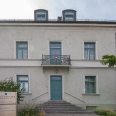
Schulstraße 13 (Pfaffenhofen an der Ilm)
2.8 km
Hauptplatz 10
2.7 km
Hauptplatz 16
2.7 km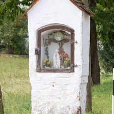
Bildstock
838 m
Hauptplatz 31
2.8 km
Hauptplatz 37
2.8 km
Hauptplatz 9
2.6 km
Hauptplatz 29
2.7 km
Riederweg 3
2.6 km
Hauptplatz 26
2.8 km
Sonnenstraße 4 (Pfaffenhofen an der Ilm)
2.8 km
Auenstraße 46
2.8 km
Hauptplatz 6
2.6 km
Hauptplatz 14
2.7 km
Auenstraße 42 (Pfaffenhofen an der Ilm)
2.8 km
Hauptplatz 17
2.7 km
Hauptplatz 41
2.8 km
Ehemaliges Stadttor
2.7 km
Hauptplatz 2
2.6 km
Hauptplatz 23
2.7 kmVisited this place? Tap the stars to rate it and share your experience / photos with the community! Try now! You can cancel it anytime.
Discover hidden gems everywhere you go!
From secret cafés to breathtaking viewpoints, skip the crowded tourist spots and find places that match your style. Our app makes it easy with voice search, smart filtering, route optimization, and insider tips from travelers worldwide. Download now for the complete mobile experience.

A unique approach to discovering new places❞
— Le Figaro
All the places worth exploring❞
— France Info
A tailor-made excursion in just a few clicks❞
— 20 Minutes