
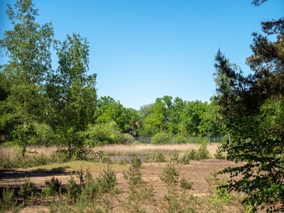
Muna-Gelände in Bamberg, nature reserve in Bamberg City, Germany
Location: Bamberg
Inception: 2001
GPS coordinates: 49.88667,10.92529
Latest update: March 10, 2025 05:07
Maria Hilf
1.5 km
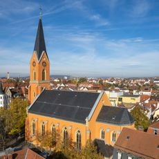
Chiesa di Sant'Anna (Bamberga)
1 km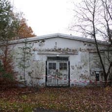
Munitionsarbeiterhäuser
549 m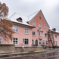
Dienstwohnhaus
915 m
Kaserne
1.4 km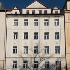
Mietshaus
1.6 km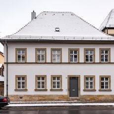
Wohnhaus
1.4 km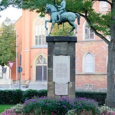
Denkmal
1.5 km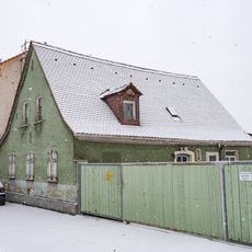
Bauernhaus
1.5 km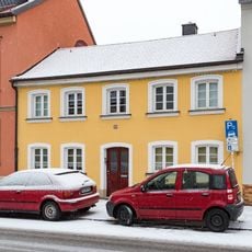
Nürnberger Straße 119
1.5 km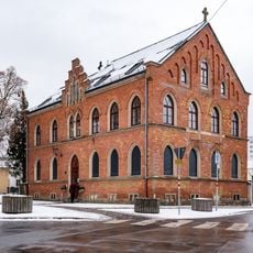
Pfarrhaus
1.5 km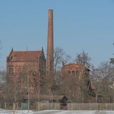
Moosstraße 46, 46a
1.1 km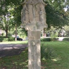
Marter
1.1 km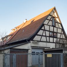
Gärtnerhaus
1.4 km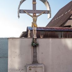
Wegkreuz
1.6 km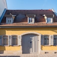
Holzgartenstraße 11
1.4 km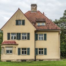
Am Tännig 15a, 15
1.4 km
Wohnhaus
1.4 km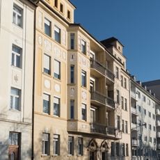
Mietshaus
1.6 km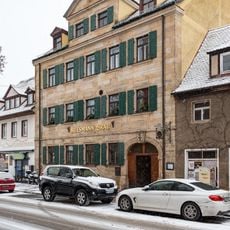
Brauereigasthof
1.5 km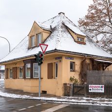
Geisfelder Straße 2
975 m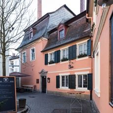
Brauereigasthof
1.4 km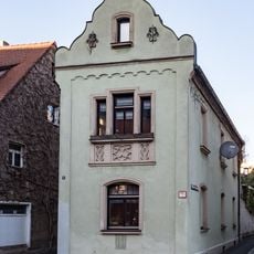
Wohnhaus
1.5 km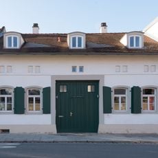
Bughofer Straße 2
1.5 km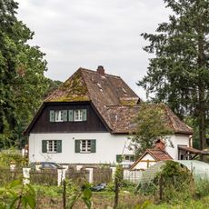
Am Tännig 16
1.5 km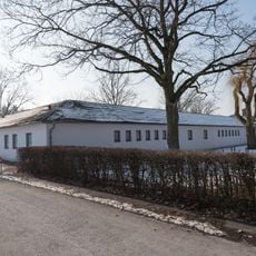
Volkspark
1.4 km
Schule
1.4 km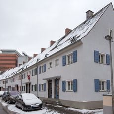
Siedlung Goldene Hochzeitsstiftung
872 mReviews
Visited this place? Tap the stars to rate it and share your experience / photos with the community! Try now! You can cancel it anytime.
Discover hidden gems everywhere you go!
From secret cafés to breathtaking viewpoints, skip the crowded tourist spots and find places that match your style. Our app makes it easy with voice search, smart filtering, route optimization, and insider tips from travelers worldwide. Download now for the complete mobile experience.

A unique approach to discovering new places❞
— Le Figaro
All the places worth exploring❞
— France Info
A tailor-made excursion in just a few clicks❞
— 20 Minutes