
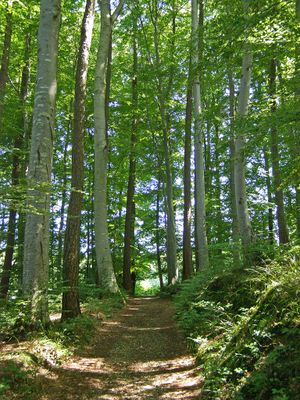
Buchenwald östlich Krumbach, protected area in the European Union defined by the habitats directive in Bayern, Germany
Location: Günzburg
Inception: 2000
GPS coordinates: 48.25937,10.39424
Latest update: March 15, 2025 03:23

Krumbad
1.5 km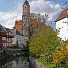
St Michael Krumbach
2.8 km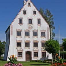
Hürbener Wasserschloss (Krumbach)
2.6 km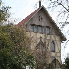
Lindlkirche Krumbach
2.3 km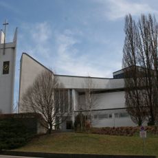
Maria-Hilf-Kirche
2.2 km
Mittelschwäbisches Heimatmuseum
2.4 km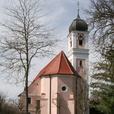
St. Ulrich
2.6 km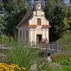
Mühlkapelle
2.7 km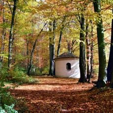
Lexenrieder Kapelle
1.9 km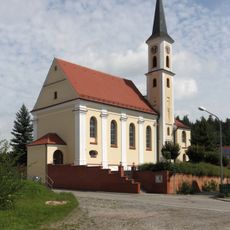
St. Thomas von Canterbury
2.1 km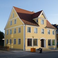
Karl-Mantel-Straße 52
2.5 km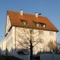
Wohnhaus, sogenanntes Rixner-Haus
2.5 km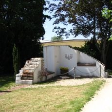
Synagoge (Hürben)
2.5 km
Heinrich-Sinz-Straße 5
2.4 km
Doppelhaus
2.5 km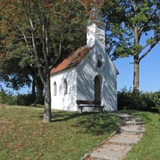
Kapelle Zu den Vierzehn Nothelfern (Oberrohr)
2.5 km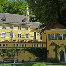
Kapelle St. Felicitas
1.5 km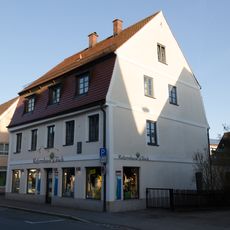
Wohnhaus
2.7 km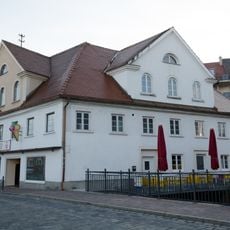
Wohnhaus
2.8 km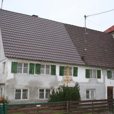
Doppelwohnhaus, ehemaliges Bauernhaus
2.5 km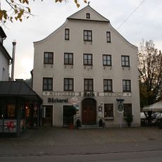
Gasthof
2.5 km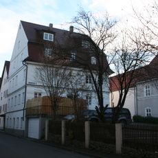
Wohnhaus
2.4 km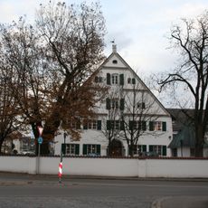
Gasthof Adlerbrauerei
2.4 km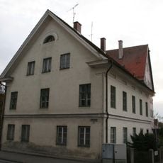
Ehemals Forsthaus
2.5 km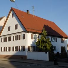
Bauernhaus
2.6 km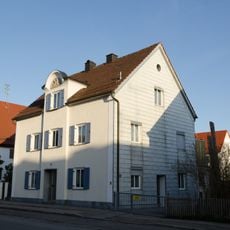
Wohnhaus
2.6 km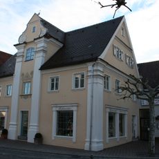
Ehemals herrschaftliches Freihaus, jetzt Wohnhaus
2.8 km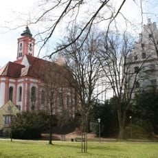
Ensemble Schloss Krumbach
2.8 kmVisited this place? Tap the stars to rate it and share your experience / photos with the community! Try now! You can cancel it anytime.
Discover hidden gems everywhere you go!
From secret cafés to breathtaking viewpoints, skip the crowded tourist spots and find places that match your style. Our app makes it easy with voice search, smart filtering, route optimization, and insider tips from travelers worldwide. Download now for the complete mobile experience.

A unique approach to discovering new places❞
— Le Figaro
All the places worth exploring❞
— France Info
A tailor-made excursion in just a few clicks❞
— 20 Minutes