
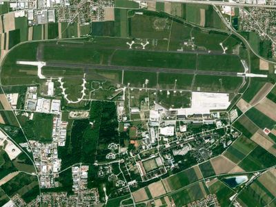
Flughafen Fürstenfeldbruck, protected area in the European Union defined by the habitats directive in Bayern, Germany
Location: Fürstenfeldbruck
Inception: 2004
GPS coordinates: 48.20648,11.26419
Latest update: April 7, 2025 19:59
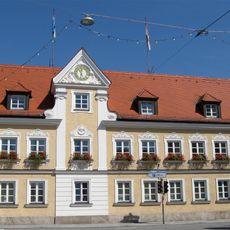
Neues Rathaus Fürstenfeldbruck
3.1 km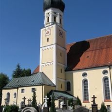
Sankt Magdalena
3.3 km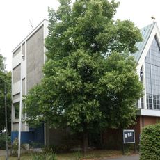
Bruder Konrad
2.3 km
Ehemals Postamt und Hotel
3.3 km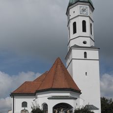
St. Vitus (Maisach)
1.4 km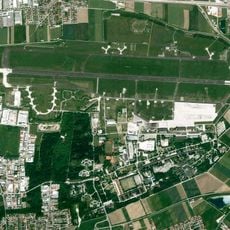
Fürstenfeldbruck Air Base
1.5 km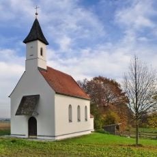
St. Rupert (Lindach)
2.5 km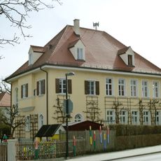
Schulhaus
3.1 km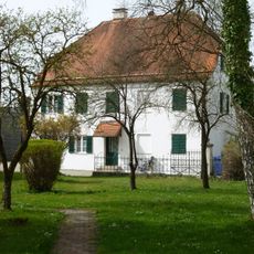
Pfarrhaus (Emmering, Lkr Fürstenfeldbruck)
3.2 km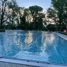
Freibad Maisach
1.8 km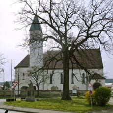
St. Johannes der Täufer
3.2 km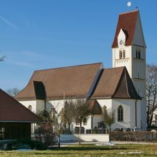
St. Margareth
3.3 km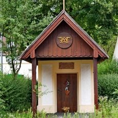
Kapelle St. Maria
2.7 km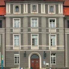
Amtsgerichtgebäude Fürstenfeldbruck
2.7 km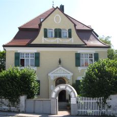
Villa
3.2 km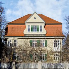
Villa
2.8 km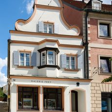
Wohnhaus
3.2 km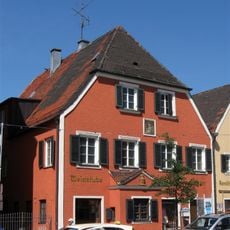
Hauptstraße 13 (Fürstenfeldbruck)
3.2 km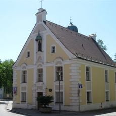
Ehemals Kammerdienerhaus des Klosters Fürstenfeld, seit 1806 Pfarrhaus des Pfarrhofes
3.2 km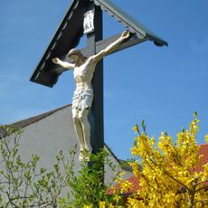
Wegkreuz
3.3 km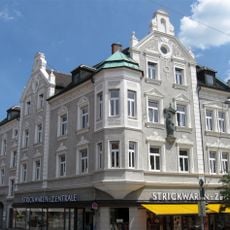
Hauptstraße 36
3.1 km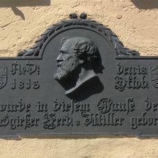
Hauptstraße 15
3.2 km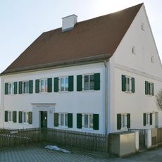
Ehem. Pfarrhaus
3.3 km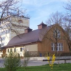
Festhalle, sogenannter Marthabräu
2.8 km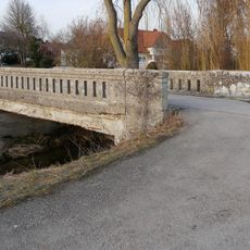
Straßenbrücke Diepoltshofen
2.4 km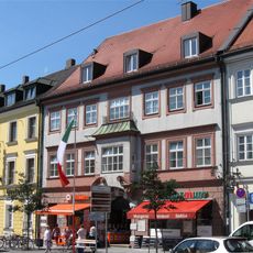
Ehemals Klosterrichterhaus, später Rentamt und Forstamt
3.2 km
Hauptstraße 17
3.2 km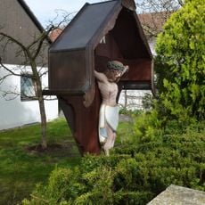
Wegkreuz Hartstr (Emmering, Lkr Fürstenfeldbruck)
2.5 kmReviews
Visited this place? Tap the stars to rate it and share your experience / photos with the community! Try now! You can cancel it anytime.
Discover hidden gems everywhere you go!
From secret cafés to breathtaking viewpoints, skip the crowded tourist spots and find places that match your style. Our app makes it easy with voice search, smart filtering, route optimization, and insider tips from travelers worldwide. Download now for the complete mobile experience.

A unique approach to discovering new places❞
— Le Figaro
All the places worth exploring❞
— France Info
A tailor-made excursion in just a few clicks❞
— 20 Minutes