
Oranienbaumer Heide, protected landscape area in Sachsen-Anhalt, Germany
Location: Dessau-Roßlau
Inception: 2001
Part of: Oranienbaumer Heide
GPS coordinates: 51.75660,12.33760
Latest update: April 5, 2025 21:19
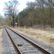
Dessau-Wörlitzer railway line
6.5 km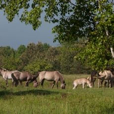
Oranienbaumer Heide
2.6 km
Apotheke Oranienbaum
6.6 km
Stadtkirche
6.6 km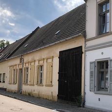
Schloßstraße 13
6.6 km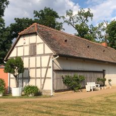
Gärtnerei
6.4 km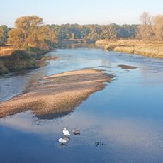
Untere Mulde
5.1 km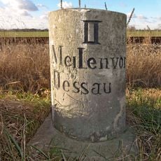
Meilenstein Griesen
6.3 km
Catholic Church Zschornewitz
6.1 km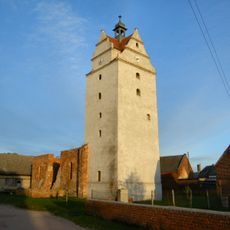
Dorfkirche Schierau
3.8 km
Kriegerstein
3.9 km
Möster Birken
5.9 km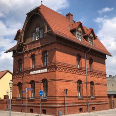
Kaiserliches Postamt
6.6 km
Taubequellen
5.1 km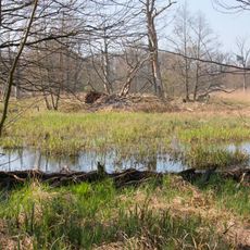
Steinhorste
5.3 km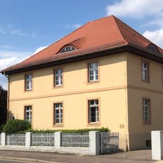
Zollhaus
6.5 km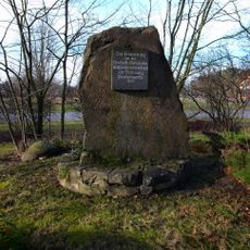
Gedenkstein Deutsch-Russische Waffenbrüderschaft 1813
6.3 km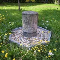
Meilenstein
5 km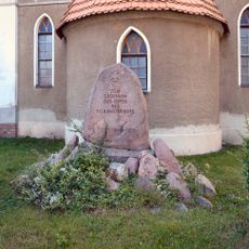
Kriegerdenkmal Priorau
4.6 km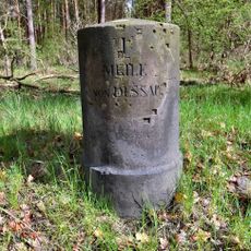
Meilenstein bei Oranienbaum
6.3 km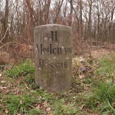
Meilenstein
2.4 km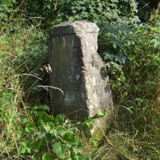
Wegweiser
2.2 km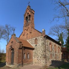
Protestant Church Möhlau
3.1 km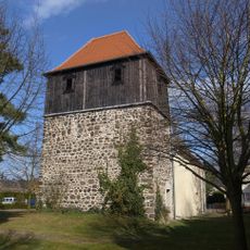
Village church Jüdenberg
5.4 km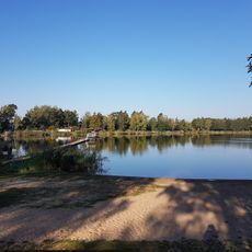
Möhlauer See
2.6 km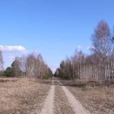
Mittlere Oranienbaumer Heide
2.4 km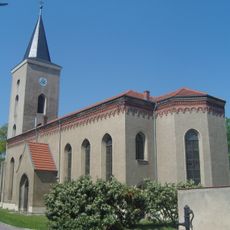
St. Georg
5.9 km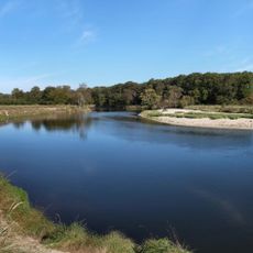
Untere Muldeaue
3.1 kmReviews
Visited this place? Tap the stars to rate it and share your experience / photos with the community! Try now! You can cancel it anytime.
Discover hidden gems everywhere you go!
From secret cafés to breathtaking viewpoints, skip the crowded tourist spots and find places that match your style. Our app makes it easy with voice search, smart filtering, route optimization, and insider tips from travelers worldwide. Download now for the complete mobile experience.

A unique approach to discovering new places❞
— Le Figaro
All the places worth exploring❞
— France Info
A tailor-made excursion in just a few clicks❞
— 20 Minutes