
Saale, protected landscape area in Sachsen-Anhalt, Germany
Location: Saalekreis
Inception: 1962
Part of: Saale
GPS coordinates: 51.42340,11.94520
Latest update: August 18, 2025 00:51
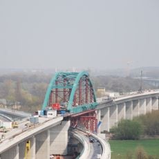
Saale-Elster Viaduct
2.9 km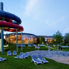
Maya Mare
1.6 km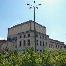
Haus der Freundschaft
3.7 km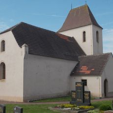
Protestant Church (Dörstewitz)
3.5 km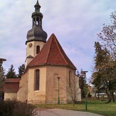
St. Elisabeth
1.6 km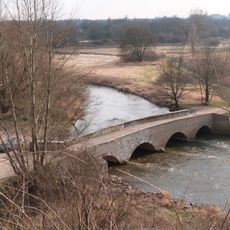
Schafbrücke
2.1 km
Abtei und Saaleaue bei Planena
919 m
Pfingstanger bei Wörmlitz
3 km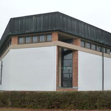
St. Marien
2.3 km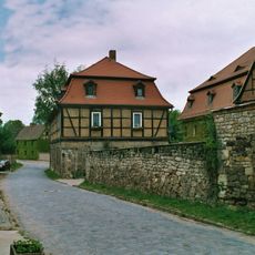
Wassermühle Holleben
3.5 km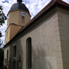
St. Katharinen
2.7 km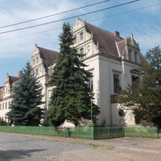
Schloss Benkendorf
2 km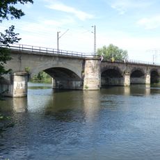
Wörmlitz railway bridge
3.3 km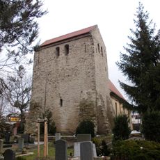
St. Petrus (Wörmlitz)
3.3 km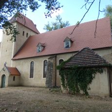
St. Wenzel (Radewell)
3.7 km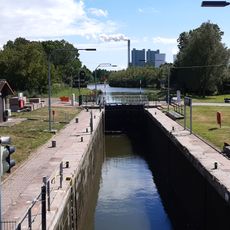
Schleuse Planena
1 km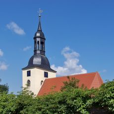
Protestant Church Korbetha
2.2 km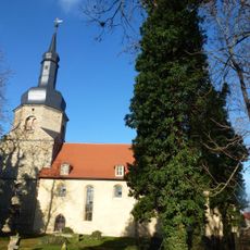
Dorfkirche Holleben
3.4 km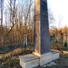
Meilenstein
2.7 km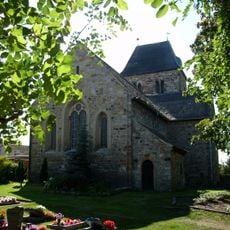
Protestant Church (Delitz am Berge)
3 km
Kriegerdenkmal Holleben
3.4 km
Dorfkirche Neukirchen (Hohenweiden)
735 m
Surp Harutyun church
3.1 km
Merseburger Straße 437
2.8 km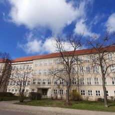
Sekundarschule Halle-Süd
2.5 km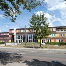
Schulgebäude Murmansker Straße 13
3.5 km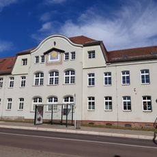
Schulgebäude Regensburger Straße 35
3.6 km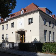
Schulgebäude Karl-Pilger-Straße 4
2.6 kmReviews
Visited this place? Tap the stars to rate it and share your experience / photos with the community! Try now! You can cancel it anytime.
Discover hidden gems everywhere you go!
From secret cafés to breathtaking viewpoints, skip the crowded tourist spots and find places that match your style. Our app makes it easy with voice search, smart filtering, route optimization, and insider tips from travelers worldwide. Download now for the complete mobile experience.

A unique approach to discovering new places❞
— Le Figaro
All the places worth exploring❞
— France Info
A tailor-made excursion in just a few clicks❞
— 20 Minutes