
Salzatal, protected landscape area in Sachsen-Anhalt, Germany
Location: Saalekreis
Inception: 1999
GPS coordinates: 51.49770,11.78710
Latest update: May 15, 2025 12:24
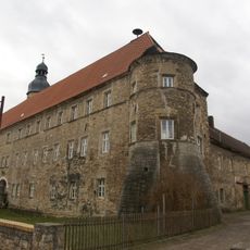
Schochwitz Castle
4.3 km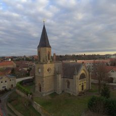
St. Lucia und Ottilie (Höhnstedt)
3.6 km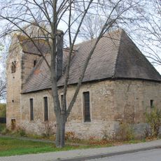
Kirche Benkendorf
3.2 km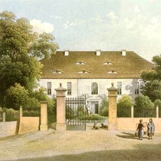
Gutshaus Bennstedt
3.2 km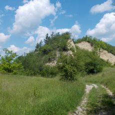
Muschelkalkhänge d. Nietleben-Bennstedter-Mulde
2.2 km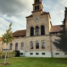
Bethaus Salzmünde
4.3 km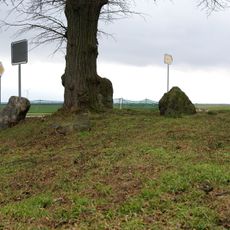
Vierersteine Krimpe
3.5 km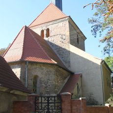
Dorfkirche Bennstedt
3.1 km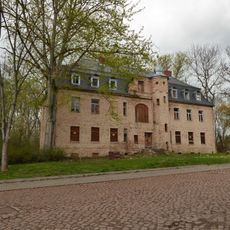
Gutshaus Köchstedt
2.7 km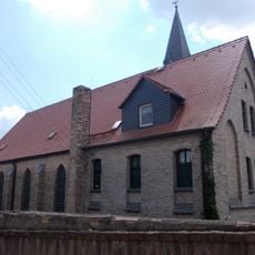
St. Elisabeth (Zappendorf)
1.8 km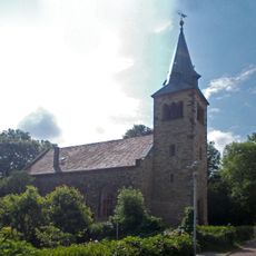
St. Magdalenen (Langenbogen)
1.7 km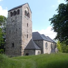
St. Petri
1.5 km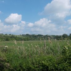
Salzatal zwischen Langenbogen und Köllme
869 m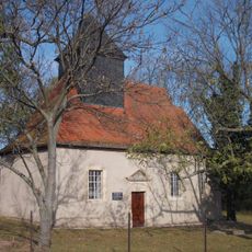
Dorfkirche Krimpe
3.7 km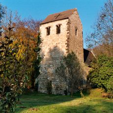
St. Marien
1.9 km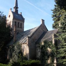
Dorfkirche Wils
3.5 km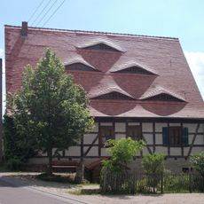
Wassermühle Zappendorf
1.6 km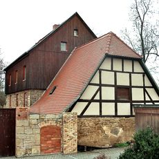
Wassermühle Müllerdorf
1.9 km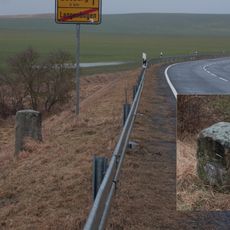
Meilenstein
2.4 km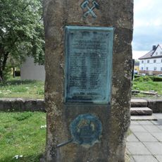
Kriegerdenkmal Bahnhof
3 km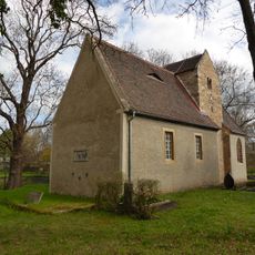
St. Maria
2.9 km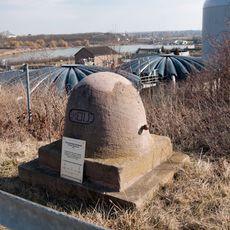
Meilenstein (Höhnstedt)
3.7 km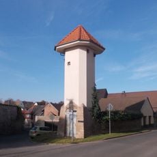
Trafoturm Höhnstedt
3.5 km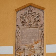
Wappentafel Langenbogen
1.6 km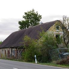
Chausseehaus Köchstedt
2 km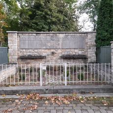
Kriegerdenkmal Bennstedt
3.1 km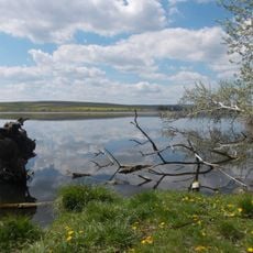
Süßer See
4 km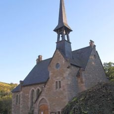
St. Petri (Rollsdorf)
4.2 kmReviews
Visited this place? Tap the stars to rate it and share your experience / photos with the community! Try now! You can cancel it anytime.
Discover hidden gems everywhere you go!
From secret cafés to breathtaking viewpoints, skip the crowded tourist spots and find places that match your style. Our app makes it easy with voice search, smart filtering, route optimization, and insider tips from travelers worldwide. Download now for the complete mobile experience.

A unique approach to discovering new places❞
— Le Figaro
All the places worth exploring❞
— France Info
A tailor-made excursion in just a few clicks❞
— 20 Minutes