
Staudacher Weiher, nature reserve in Baden-Württemberg, Germany
Location: Argenbühl
Inception: 1993
GPS coordinates: 47.67130,9.95754
Latest update: March 10, 2025 14:43

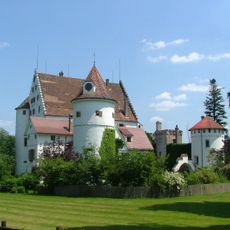
Schloss Syrgenstein
3.2 km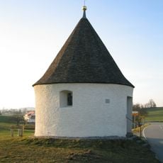
Rundkapelle Eisenharz
2.1 km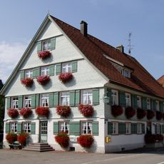
Rathaus (Gestratz)
3.4 km
Katholische Pfarrkirche St. Gallus
3.4 km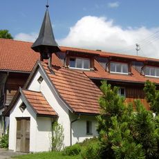
Kapelle St. Rochus Harratried in Röthenbach im Allgäu
2.9 km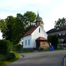
Katholische Marienkapelle
2.3 km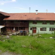
Bauernhaus Giesenberg 167 in Röthenbach im Allgäu
3.2 km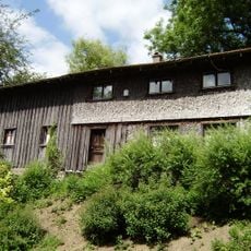
Kleinbauernhaus Bauschwanden 30 in Röthenbach im Allgäu
2.8 km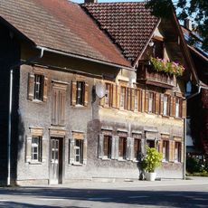
Wohnhaus
2.8 km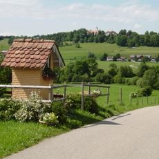
Bildstock Weg Harratried-Eglofs in Röthenbach im Allgäu
2.7 km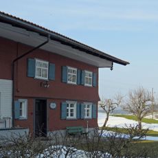
Ehemaliges Bauernhaus
2.4 km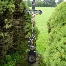
Gusseisenkruzifix Harratried in Röthenbach im Allgäu
2.9 km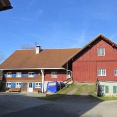
Bauernhaus
2.7 km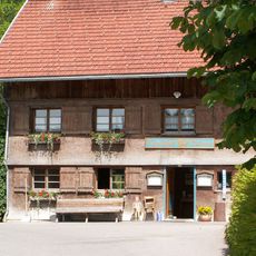
Gasthaus
2.1 km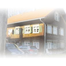
Austragshaus
2.7 km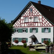
Wohnteil eines ehemaligen Bauernhaus
3 km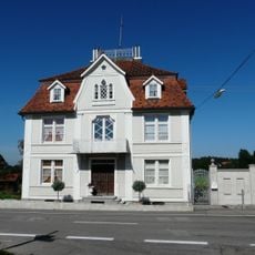
Villa Stadler
2.9 km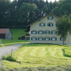
Bauernhaus
2.6 km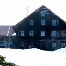
Bauernhaus
2.3 km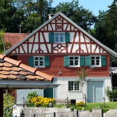
Ehemalige Schmiede
2.9 km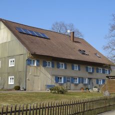
Ehemaliges Bauernhaus
3.3 km
Bauernhaus
3.1 km
Bauernhaus
2.4 km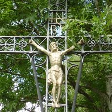
Wegkreuz Harratried Kr LI 12 in Röthenbach im Allgäu
2.7 km
Ehemaliges Mesnerhaus und Schule
3.4 km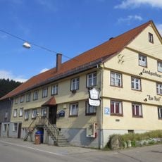
Gasthaus zur Post
2.9 km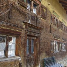
Bauernhaus
2.2 km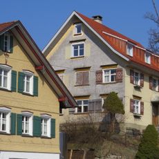
Ehemaliges Kaplanhaus
3.4 kmReviews
Visited this place? Tap the stars to rate it and share your experience / photos with the community! Try now! You can cancel it anytime.
Discover hidden gems everywhere you go!
From secret cafés to breathtaking viewpoints, skip the crowded tourist spots and find places that match your style. Our app makes it easy with voice search, smart filtering, route optimization, and insider tips from travelers worldwide. Download now for the complete mobile experience.

A unique approach to discovering new places❞
— Le Figaro
All the places worth exploring❞
— France Info
A tailor-made excursion in just a few clicks❞
— 20 Minutes