
Strohauser Plate, protected landscape in Lower Saxony, Germany
Location: Wesermarsch
Inception: 1984
GPS coordinates: 53.38630,8.46626
Latest update: March 6, 2025 18:36

St. Bartholomäuskirche
3.8 km
Handwerksmuseum Ovelgönne
5.7 km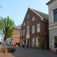
Schiffahrtsmuseum der oldenburgischen Unterweser
6.8 km
Bronzezeithaus Hahnenknoop
3.8 km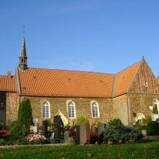
St.-Matthäus-Kirche
1.9 km
Organo di San Lorenzo
6.9 km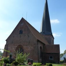
St. Johannis (Sandstedt)
4.9 km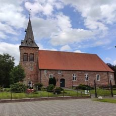
St. Secundus-Kirche (Schwei)
7.6 km
Seemannsclub Pier One
5.7 km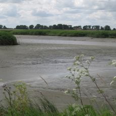
Tideweser
2.8 km
St. Laurentius-Kirche
6.9 km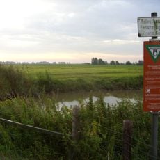
Strohauser Vorländer und Plate
863 m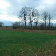
Jewish cemetery, Ovelgönne
6 km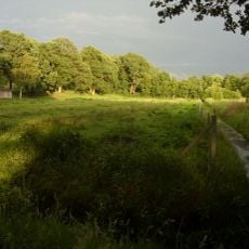
Bargsmoor/ Rechtenflethermoor
8.1 km
Sandstedt range lights
4.1 km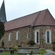
Matthäuskirche Esenshamm
7.2 km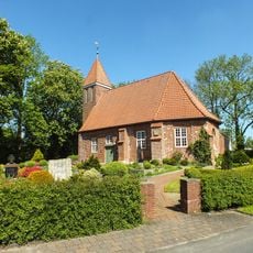
Kirche Büttel
6.8 km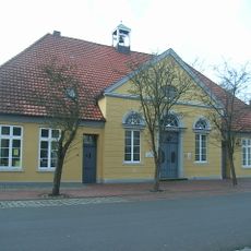
Martinskirche
5.7 km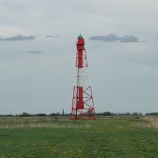
Großerpater range rear light
8.2 km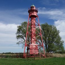
Old Sandstedt range rear light
3.9 km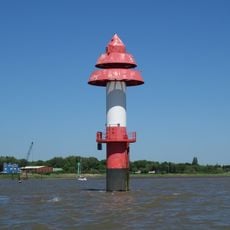
Nordenham range front
8.8 km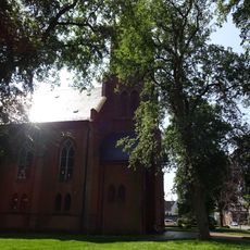
Stadtkirche
6.9 km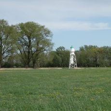
Großerpater range front light
6.9 km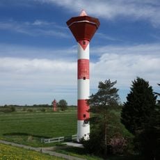
Sandstedt range rear
3.9 km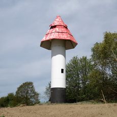
Sandstedt range front
4.1 km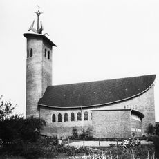
St. Marien
6.8 km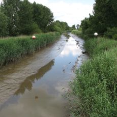
Rechter Nebenarm der Weser
7.3 km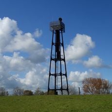
Großensiel range rear
8.8 kmReviews
Visited this place? Tap the stars to rate it and share your experience / photos with the community! Try now! You can cancel it anytime.
Discover hidden gems everywhere you go!
From secret cafés to breathtaking viewpoints, skip the crowded tourist spots and find places that match your style. Our app makes it easy with voice search, smart filtering, route optimization, and insider tips from travelers worldwide. Download now for the complete mobile experience.

A unique approach to discovering new places❞
— Le Figaro
All the places worth exploring❞
— France Info
A tailor-made excursion in just a few clicks❞
— 20 Minutes