
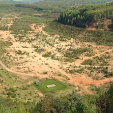
Der Warndt, protected area in Germany
Location: Völklingen
Inception: 1976
GPS coordinates: 49.19992,6.76899
Latest update: June 13, 2025 02:53
Carrière du Barrois
4.5 km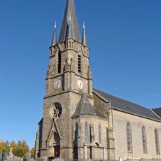
Église Saint-Nicolas, L'Hôpital
5.5 km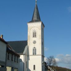
Huguenot church, Ludweiler
3.8 km
Carreau de Sainte-Fontaine
4.9 km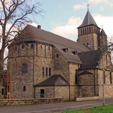
St. Paulinus
2.7 km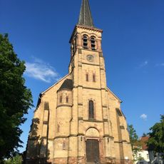
St. Wendalinus
5.2 km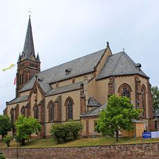
St. Gangolf
4.6 km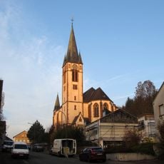
Mariä Himmelfahrt
6.4 km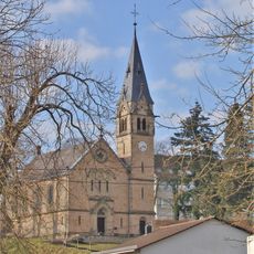
Evangelische Kirche
4 km
Arboretum de L'Hôpital
4.5 km
St. Antonius
5.3 km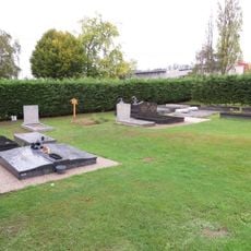
Cimetière juif de Merlebach
6.3 km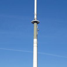
Sender Völklingen
5.9 km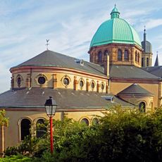
Église Sainte-Croix de Creutzwald
5.9 km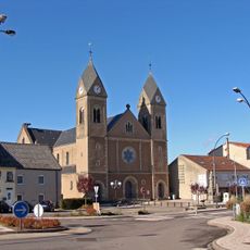
Gerard Majella Church
5.5 km
Église Notre-Dame-de-Fatima de Creutzwald
4.4 km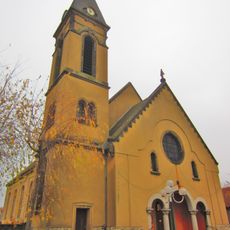
Église Saint-Joseph de Freyming Hochwald
5.5 km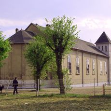
Église Sainte-Barbe de L'Hôpital
4.6 km
Église Sainte-Jeanne-d'Arc de Cité Jeanne-d'Arc
5.5 km
Église protestante de Cité Jeanne-d'Arc
5.3 km
Église Sainte-Thérèse de Cité La Colline
4.3 km
Chapelle du cimetière de L'Hôpital
5.5 km
St. Franziskus
4.7 km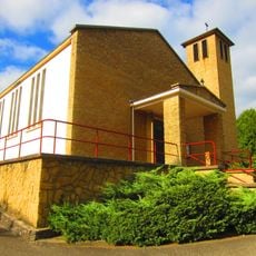
Église protestante de Creutzwald
5.8 km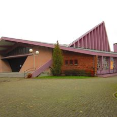
Église de la Bienheureuse-Vierge-Marie de Freyming
6.2 km
Église protestante
5.4 km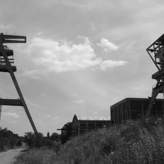
Carreau Cuvelette
6 km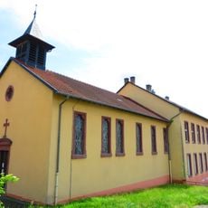
Chapelle Sainte-Marie-Madeleine d'Urselsbach
6.1 kmReviews
Visited this place? Tap the stars to rate it and share your experience / photos with the community! Try now! You can cancel it anytime.
Discover hidden gems everywhere you go!
From secret cafés to breathtaking viewpoints, skip the crowded tourist spots and find places that match your style. Our app makes it easy with voice search, smart filtering, route optimization, and insider tips from travelers worldwide. Download now for the complete mobile experience.

A unique approach to discovering new places❞
— Le Figaro
All the places worth exploring❞
— France Info
A tailor-made excursion in just a few clicks❞
— 20 Minutes