
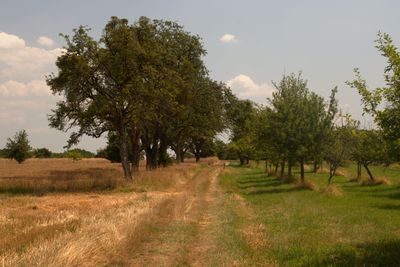
Landschaftsschutzgebiet im Landkreis Saarlouis - im Bereich der Gemeinde Rehlingen
Landschaftsschutzgebiet im Landkreis Saarlouis - im Bereich der Gemeinde Rehlingen, protected area in Germany
Location: Rehlingen-Siersburg
Inception: 1977
GPS coordinates: 49.35122,6.58452
Latest update: March 6, 2025 15:49

Niedaltdorfer Tropfsteinhöhle
1.5 km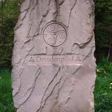
Druidenpfad
875 m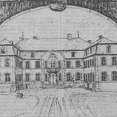
Château de Bourg-Esch
3.9 km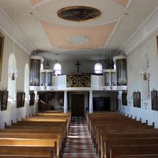
St. Hubertus
3.3 km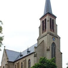
St. Rufus (Niedaltdorf)
1.2 km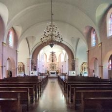
St. Konrad
2 km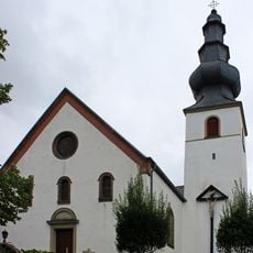
St. Remigius
5.2 km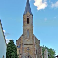
St. Margareta
6 km
St. Nikolaus
2.3 km
Kreuzerhöhungskirche
4.4 km
Église Sainte-Anne
2 km
Église Saint-Maurice de Guerstling
2.6 km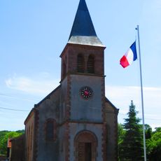
Église Sainte-Marguerite de Colmen
3.1 km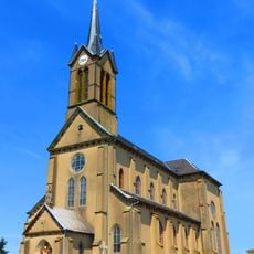
Église Saint-Éloi de Flastroff
4.1 km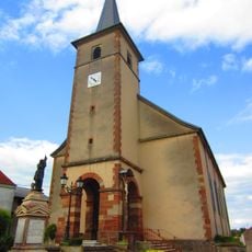
Église de la Nativité-de-la-Bienheureuse-Vierge-Marie de Filstroff
4.4 km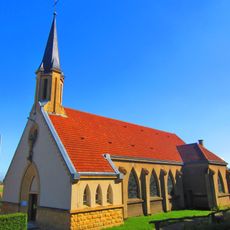
Église Sainte-Jeanne-d'Arc de Heining-lès-Bouzonville
4.5 km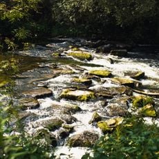
Nied
2.9 km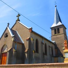
Chapelle Saint-Gall de Zeurange
4.6 km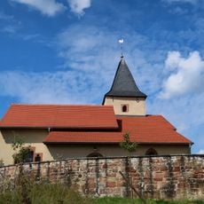
St. Willibrord
5.7 km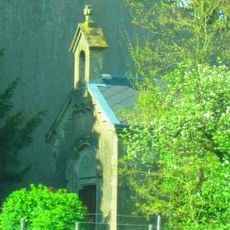
Chapelle castrale de Saint-Oswald
6.1 km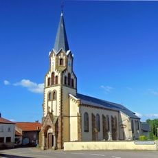
Église Notre Dame de l'Assomption de Schwerdorff
1.8 km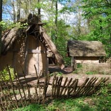
Keltengehöft
1.5 km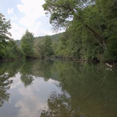
Naturschutzgebiet Niedschleife
281 m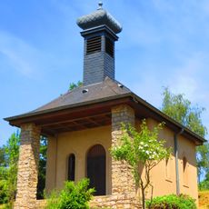
Chapelle du Sacré-Cœur d'Otzwiller
1.6 km
Chapelle de la Sainte-Croix d'Aidling-lès-Bouzonville
5.9 km
St. Jakobus der Ältere
6.2 km
Chapelle de Heining-lès-Bouzonville
4.5 km
Chapelle Saint-Isidore de Grindorff-Bizing
6 kmVisited this place? Tap the stars to rate it and share your experience / photos with the community! Try now! You can cancel it anytime.
Discover hidden gems everywhere you go!
From secret cafés to breathtaking viewpoints, skip the crowded tourist spots and find places that match your style. Our app makes it easy with voice search, smart filtering, route optimization, and insider tips from travelers worldwide. Download now for the complete mobile experience.

A unique approach to discovering new places❞
— Le Figaro
All the places worth exploring❞
— France Info
A tailor-made excursion in just a few clicks❞
— 20 Minutes