
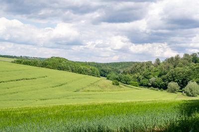
LSG Südlicher Kreis Höxter, Landschaftsschutzgebiet in Nordrhein-Westfalen
Location: Bad Driburg
Location: Brakel
Location: Borgentreich
Location: Willebadessen
Location: Warburg
Inception: 1984
GPS coordinates: 51.54385,9.10046
Latest update: March 28, 2025 21:54
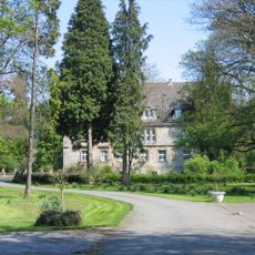
Schloss Borlinghausen
5.9 km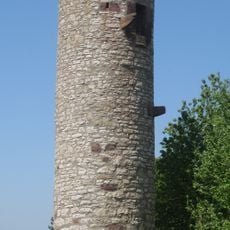
Heinturm Ossendorf
5 km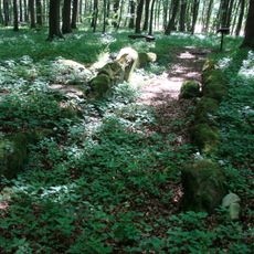
Galeriegrab von Warburg-Rimbeck
2.8 km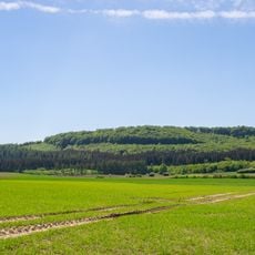
Gaulskopf
3.7 km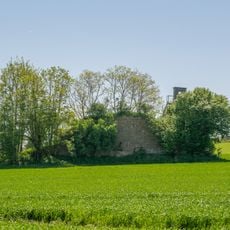
Asselerburg
5 km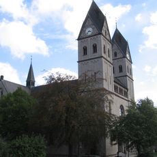
St. Elisabeth (Rimbeck)
3.8 km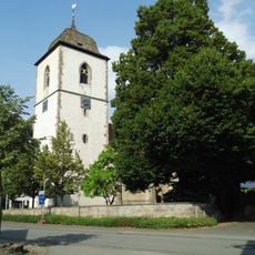
Mariä Himmelfahrt
6.3 km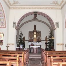
St. Kilian
3.9 km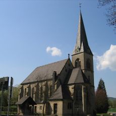
St. Maria Hilfe der Christen
6 km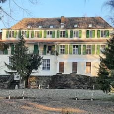
Briloner Straße 102
6.1 km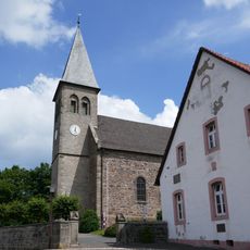
Holy Cross Church
3.7 km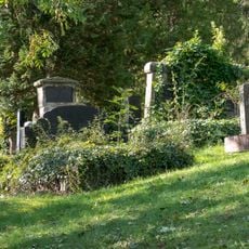
Jüdischer Friedhof
4.5 km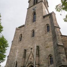
St. Vincentius
5.2 km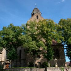
St. Liborius
5.5 km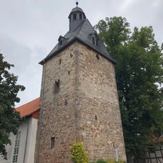
Evangelische Kirche
6 km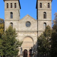
St. Margaretha
2.7 km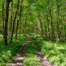
Asseler Wald
5.7 km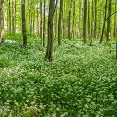
Königsblick
1.8 km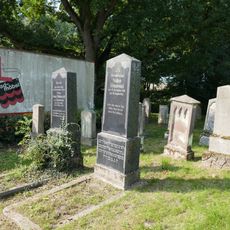
Jüdischer Friedhof
3.7 km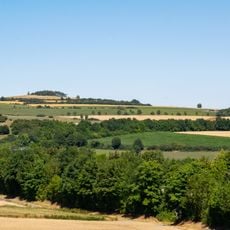
Hellberg-Scheffelberg
5.7 km
Kalkmagerrasen bei Ossendorf
5 km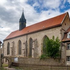
Klosterkirche Wormeln
5.2 km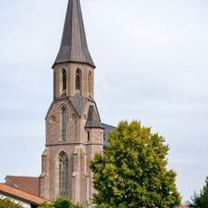
St. Katharina
5.1 km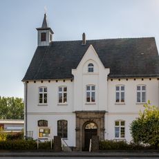
Kirchhaus Rimbeck
4.4 km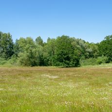
Menner Seihe
1.4 km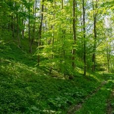
Drachenholl-Diemelaue
5.8 km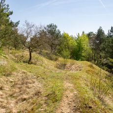
Kalkmagerrasen bei Ossendorf
4.5 km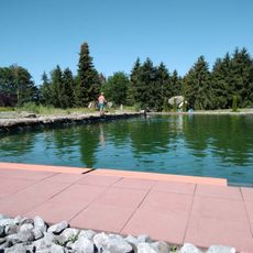
Naturbad Menne
2.2 kmReviews
Visited this place? Tap the stars to rate it and share your experience / photos with the community! Try now! You can cancel it anytime.
Discover hidden gems everywhere you go!
From secret cafés to breathtaking viewpoints, skip the crowded tourist spots and find places that match your style. Our app makes it easy with voice search, smart filtering, route optimization, and insider tips from travelers worldwide. Download now for the complete mobile experience.

A unique approach to discovering new places❞
— Le Figaro
All the places worth exploring❞
— France Info
A tailor-made excursion in just a few clicks❞
— 20 Minutes