
LSG-Moerskanal, Neukirchener Kanal, protected area in Germany
Location: Moers
Inception: 2013
GPS coordinates: 51.42424,6.60022
Latest update: June 21, 2025 23:59
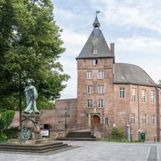
Schloss Moers
3.3 km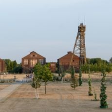
Bergwerk Niederberg
3.8 km
Castrum Asciburgium
4.9 km
Schloss Lauersfort
1.5 km
Haus Traar
4.6 km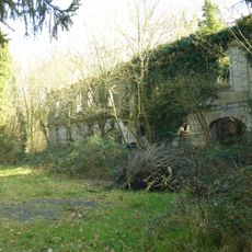
Haus Tervoort
4.6 km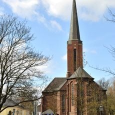
St. Josef (Moers)
3.3 km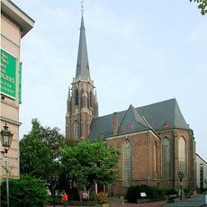
Evangelische Stadtkirche Moers
3.5 km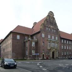
Amtsgericht Moers
3.4 km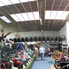
Niederrheinisches Motorradmuseum
4.9 km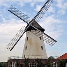
Elfrather Mühle
5.2 km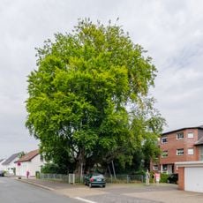
Beech of Schwafheim
3.4 km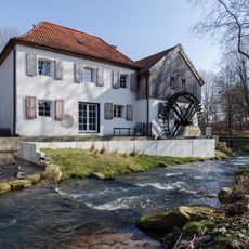
Aumühle
2.3 km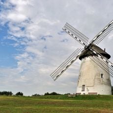
Egelsbergmühle
4.3 km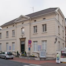
Peschkenhaus
3.5 km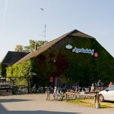
Averdunkshof
4.5 km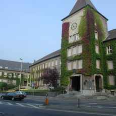
Altes Rathaus
3.7 km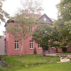
Haus Kaldenhausen
5.3 km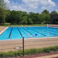
Enni.solimare aktivbad
2.1 km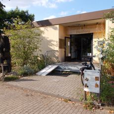
Bienenmuseum Duisburg
4.8 km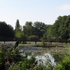
Niepkuhlen
4.8 km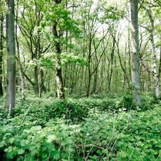
Nieder Heide am Egelsberg
3.6 km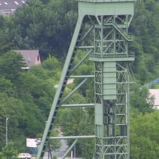
Ortsgeschichtliches Museum Neukirchen-Vluyn
5 km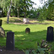
Jüdischer Friedhof
4.2 km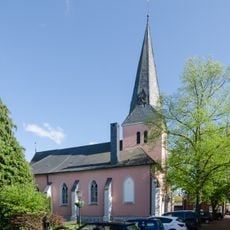
Village church Neukirchen-Vluyn
3.4 km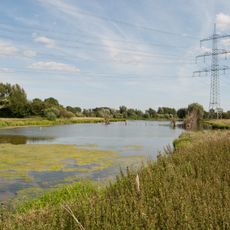
Schwafheimer Bruch
1.6 km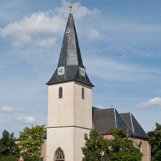
Evangelische Pfarrkirche Kapellen
722 m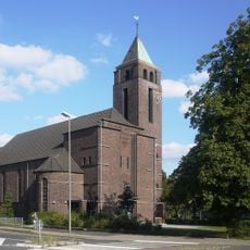
St. Marien
4.6 kmReviews
Visited this place? Tap the stars to rate it and share your experience / photos with the community! Try now! You can cancel it anytime.
Discover hidden gems everywhere you go!
From secret cafés to breathtaking viewpoints, skip the crowded tourist spots and find places that match your style. Our app makes it easy with voice search, smart filtering, route optimization, and insider tips from travelers worldwide. Download now for the complete mobile experience.

A unique approach to discovering new places❞
— Le Figaro
All the places worth exploring❞
— France Info
A tailor-made excursion in just a few clicks❞
— 20 Minutes