
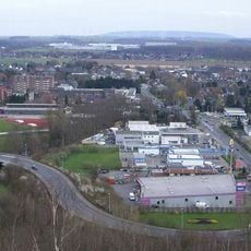
Wurmniederung, protected landscape west of Heinsberg, Germany
Location: Heinsberg
Inception: 1986
GPS coordinates: 51.04239,6.17814
Latest update: August 28, 2025 01:04
Millicher Halde
2.6 km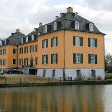
Haus Hall
2.3 km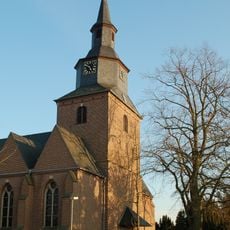
Saint John the Baptist Church
2.8 km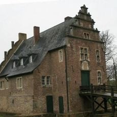
Gut Grittern
3.8 km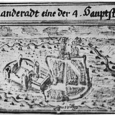
Burg Randerath
3.1 km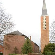
St. Andreas (Eschweiler)
3.7 km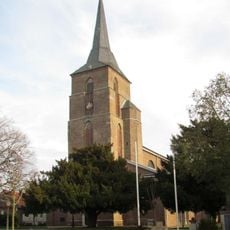
St. Lambertus (Dremmen)
2.2 km
Kapelle Marienkloster (Dremmen)
2.2 km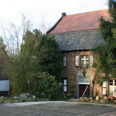
Talmühle
1.5 km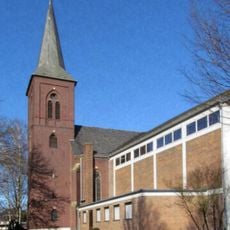
Saint Lambertus Church
3.5 km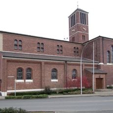
St. Aloysius (Oberbruch)
3 km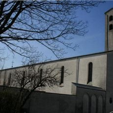
St. Barbara (Hückelhoven)
3.5 km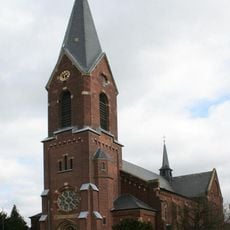
St. Leonhard
3.1 km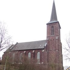
St. Josef (Horst)
1.7 km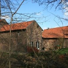
Mahrhof
1.8 km
Church of the Assumption (Uetterath)
3.9 km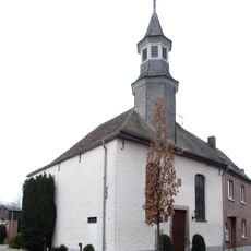
Protestant Church
3 km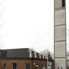
Redeemer Church (Oberbruch)
2.9 km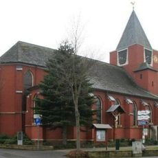
St. Lambertus
3 km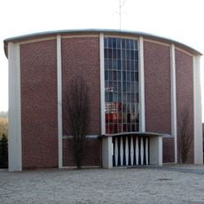
St. Bonifatius
3 km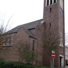
St. Mariä Rosenkranz
624 m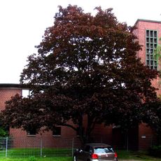
Evangelische Friedenskirche
3.1 km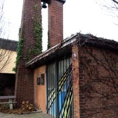
Chapel
3 km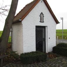
Wegekapelle (Boverath)
2.9 km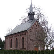
Kapelle Kranzes
1.7 km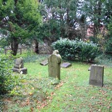
Jewish cemetery, Randerath
2.9 km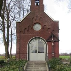
Kapelle Herb
2.8 km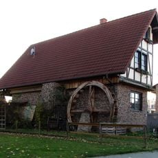
Brünkers Mühle
2.6 kmReviews
Visited this place? Tap the stars to rate it and share your experience / photos with the community! Try now! You can cancel it anytime.
Discover hidden gems everywhere you go!
From secret cafés to breathtaking viewpoints, skip the crowded tourist spots and find places that match your style. Our app makes it easy with voice search, smart filtering, route optimization, and insider tips from travelers worldwide. Download now for the complete mobile experience.

A unique approach to discovering new places❞
— Le Figaro
All the places worth exploring❞
— France Info
A tailor-made excursion in just a few clicks❞
— 20 Minutes