
Förderturm, cultural heritage monument D-3-71-151-312 (0) in Sulzbach-Rosenberg, Bavaria
Location: Sulzbach-Rosenberg
Address: Zum Förderturm
GPS coordinates: 49.50236,11.75368
Latest update: March 24, 2025 06:04
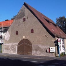
Zehntstadel
862 m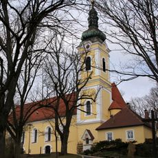
Wallfahrtskirche St. Anna
309 m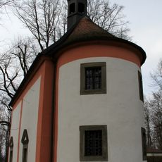
Lorettokapelle Sulzbach-Rosenberg
314 m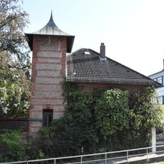
Villa
734 m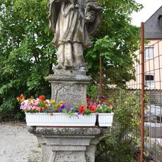
Figur des hl. Johannes Nepomuk
758 m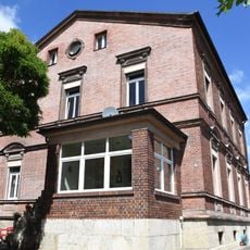
Villa
787 m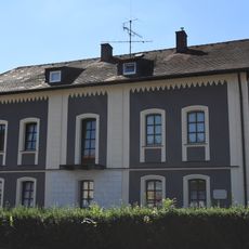
Ehemaliges Bürgermeisterhaus, Arbeitsamt
776 m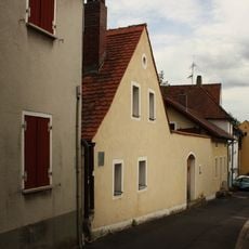
Lange Gasse 35-43
851 m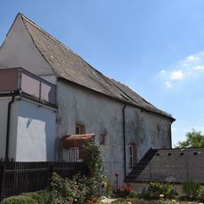
Ehemaliger Stadel
870 m
Lange Gasse 45
830 m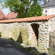
Zugehörige Reststücke der Stadtmauer
840 m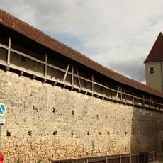
Lange Gasse 47
835 m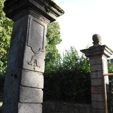
Gesamt vier Torpfeiler - siehe auch: Bayreuther Straße 2
846 m
Annaberg
335 m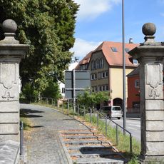
Zwei Steintorpfosten
805 m
Bürgerhaus
867 m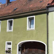
Ehemaliges Ackerbürgerhaus
888 m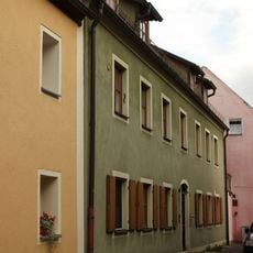
Lange Gasse 29 (Sulzbach-Rosenberg)
862 m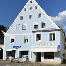
Wohn- und Geschäftshaus
886 m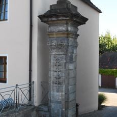
Ehemals zum Hofgarten gehöriges Gebäude
605 m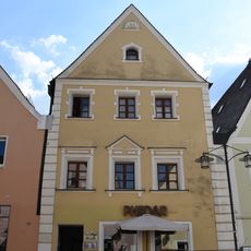
Wohn- und Geschäftshaus
864 m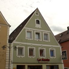
Wohnhaus
873 m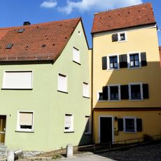
Wohnhaus
841 m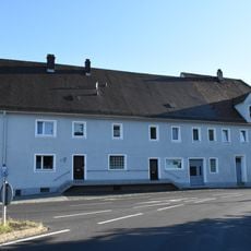
Ehemaliges Brau- und Malzhaus
643 m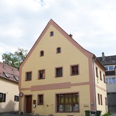
Wohnhaus
847 m
Ehemaliges städtisches Elektrizitätswerk
887 m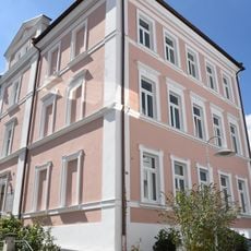
Ehemalige Realschule
810 m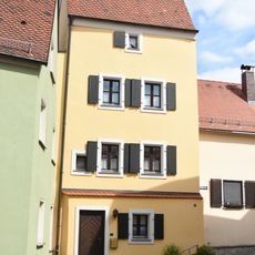
Sogenannter Ackermannturm; jetzt Wohnhaus
838 mReviews
Visited this place? Tap the stars to rate it and share your experience / photos with the community! Try now! You can cancel it anytime.
Discover hidden gems everywhere you go!
From secret cafés to breathtaking viewpoints, skip the crowded tourist spots and find places that match your style. Our app makes it easy with voice search, smart filtering, route optimization, and insider tips from travelers worldwide. Download now for the complete mobile experience.

A unique approach to discovering new places❞
— Le Figaro
All the places worth exploring❞
— France Info
A tailor-made excursion in just a few clicks❞
— 20 Minutes