
Kirche Wüstenbrand, church building in Wüstenbrand
Location: Hohenstein-Ernstthal
GPS coordinates: 50.81496,12.74463
Latest update: March 4, 2025 17:13


Maria-Josepha-Tower
2.6 km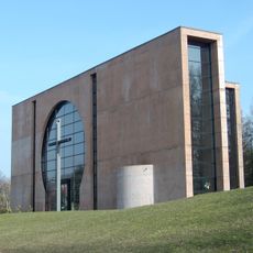
St. Pius X.
2.7 km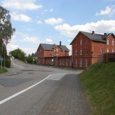
Wüstenbrand station
1.4 km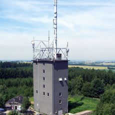
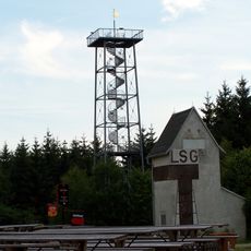
Totenstein communication tower
2.6 km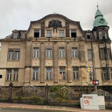
Villa Lungwitzer Straße 41
2.7 km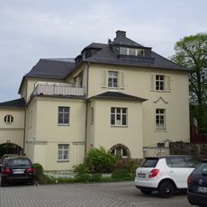
Chemnitzer Straße 180 Chemnitz-Grüna
1.9 km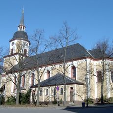
St. Trinitatis
2.4 km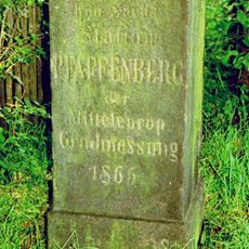
Station 16 Pfaffenberg
1.6 km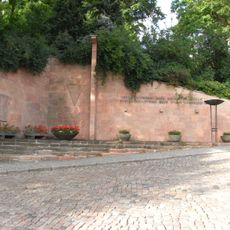
VdN-Denkmal Hohenstein-Ernstthal
2.4 km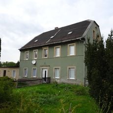
Wohnhaus Straße der Einheit 35
1.8 km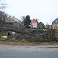
St.-Lampertus-Fundgrube
1.7 km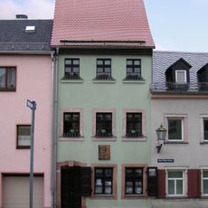
Karl-May-Geburtshaus
2.4 km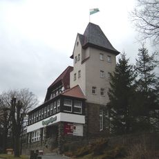
Berggasthaus mit Gartenanlage Pfaffenberg 1
2.2 km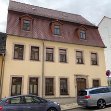
Wohnhaus Breite Straße 6
2.7 km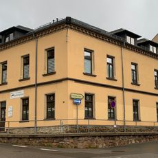
Webermeisterhaus Lungwitzer Straße 39
2.7 km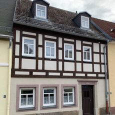
Wohnhaus Pfarrhain 26
2.8 km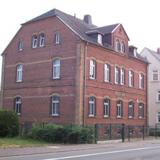
Postamt Bahnhofstraße 10
1.2 km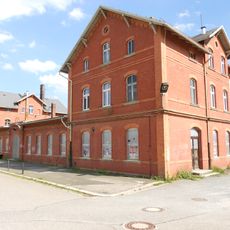
Empfangsgebäude des Bahnhofs Bahnhofstraße 18
1.3 km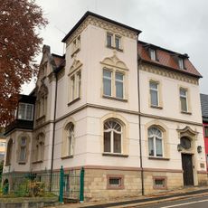
Villa Lungwitzer Straße 30
2.7 km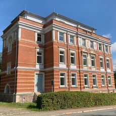
Gebäude Lungwitzer Straße 45
2.8 km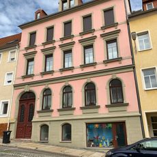
Mietshaus in geschlossener Bebauung Breite Straße 11
2.7 km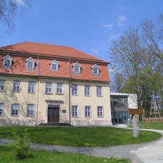
Sachgesamtheit Oberförsterei Grüna
2.5 km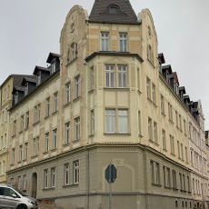
Mietshaus Lungwitzer Straße 23
2.7 km
Meilensäule an Chemnitzer Straße 109. Chemnitz-Grüna.
2.7 km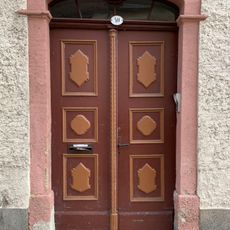
Haustür und Türportal eines Wohnhauses Dresdner Straße 40
2.8 km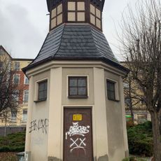
Transformatorenhäuschen
2.7 km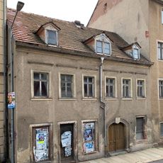
Wohnhaus in geschlossener Bebauung Dresdner Straße 36
2.8 km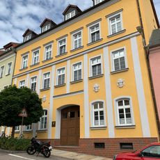
Mietshaus in geschlossener Bebauung Breite Straße 17
2.7 kmReviews
Visited this place? Tap the stars to rate it and share your experience / photos with the community! Try now! You can cancel it anytime.
Discover hidden gems everywhere you go!
From secret cafés to breathtaking viewpoints, skip the crowded tourist spots and find places that match your style. Our app makes it easy with voice search, smart filtering, route optimization, and insider tips from travelers worldwide. Download now for the complete mobile experience.

A unique approach to discovering new places❞
— Le Figaro
All the places worth exploring❞
— France Info
A tailor-made excursion in just a few clicks❞
— 20 Minutes