
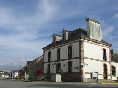
Kergrist, commune in Morbihan, France
Location: canton of Cléguérec
Location: Morbihan
Location: Pontivy Communauté
Location: arrondissement of Pontivy
Capital city: Kergrist
Elevation above the sea: 166 m
Shares border with: Saint-Connec, Hémonstoir, Neulliac, Saint-Gérand-Croixanvec, Guerlédan
Phone: +33297396228
Email: mairie@kergrist.fr
Website: http://kergrist.fr
GPS coordinates: 48.14639,-2.95611
Latest update: May 31, 2025 08:31

Sainte-Noyale Chapel
8.2 km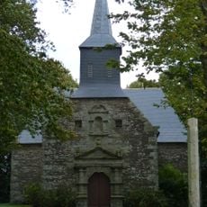
Chapelle Saint-Elouan de Saint-Guen
7.1 km
Site archéologique du Corboulo
5.3 kmChapelle Notre-Dame-de-Carmès
4.5 km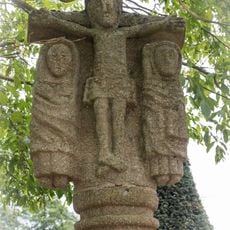
Croix de cimetière de Saint-Gérand
6.6 km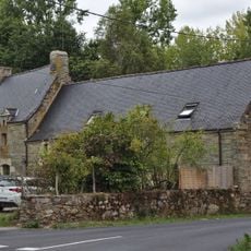
Ferme du Corboulo
5.4 km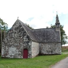
Chapelle Saint-André de Langlo
3.9 km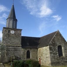
Église Saint-Gérand de Saint-Gérand
6.7 km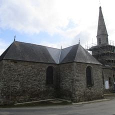
Église Saint-Gonery de Saint-Connec
4.3 km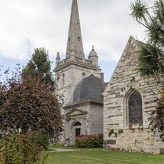
Église Saint-Pierre-et-Saint-Paul
2.7 km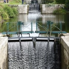
Écluse du Couëdic
5.3 km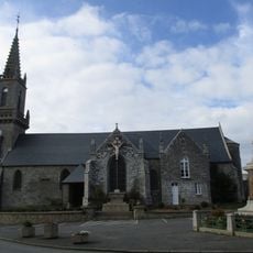
Église Saint-Pierre-et-Saint-Paul de Kergrist
60 m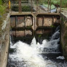
Écluse du Stumo
3.6 km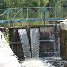
Écluse de Kerihoué
5.8 km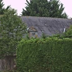
Ferme de Lisquily
4.4 km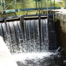
Écluse de Parc Buisson
5.4 km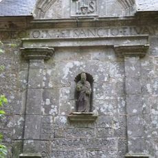
Fontaine Saint-Elouan à Saint-Guen
7.1 km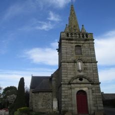
Église Saint-Jean-Baptiste de Croixanvec
6.5 km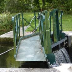
Écluse de Parc Lann Bihan
5.7 km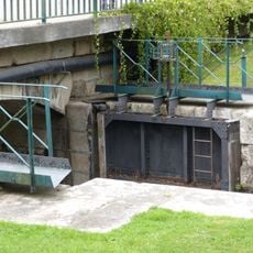
Pont de Keroret
6.1 km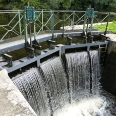
Écluse de Parc er Lann
5.9 km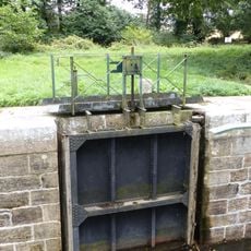
Écluse de Kerivy
6 km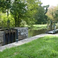
Écluse de Lann Vras
5.5 km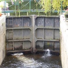
Écluse de Keroret
6.1 km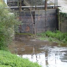
Écluse d'Auquinian
4 km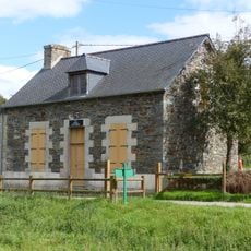
Maison éclusière du Stumo
3.6 km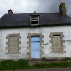
Maison éclusière de Kerihoué
5.8 km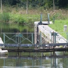
Écluse d'Er Houet
6 kmVisited this place? Tap the stars to rate it and share your experience / photos with the community! Try now! You can cancel it anytime.
Discover hidden gems everywhere you go!
From secret cafés to breathtaking viewpoints, skip the crowded tourist spots and find places that match your style. Our app makes it easy with voice search, smart filtering, route optimization, and insider tips from travelers worldwide. Download now for the complete mobile experience.

A unique approach to discovering new places❞
— Le Figaro
All the places worth exploring❞
— France Info
A tailor-made excursion in just a few clicks❞
— 20 Minutes