
Remungol, former commune in Morbihan, France
Location: canton of Locminé
Location: Morbihan
Location: arrondissement of Pontivy
Elevation above the sea: 125 m
Website: http://www.remungol.fr
Shares border with: Moustoir-Remungol, Naizin, Moréac, Plumelin, Guénin, Pluméliau, Évellys, Pluméliau-Bieuzy
Website: http://remungol.fr
GPS coordinates: 47.93389,-2.89917
Latest update: June 15, 2025 10:09
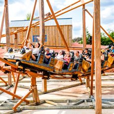
Kingoland
4.9 km
Chapelle Notre-Dame-de-Manéguen
4.5 km
Église Saint-Sauveur de Locminé
6.9 km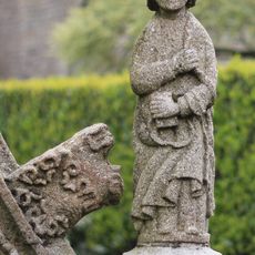
Fontaine Sainte-Julitte
94 m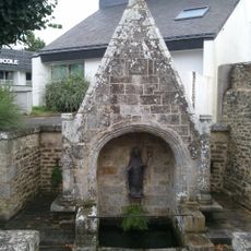
Fontaine Saint-Colomban
6.8 km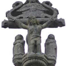
Calvaire de Port-Arthur
8.2 km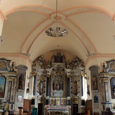
Église Saint-Cyr
6.1 km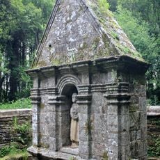
Fontaine de Saint-Jean-du-Poteau
4.3 km
Croix de Saint-Jean-du-Poteau
4.3 km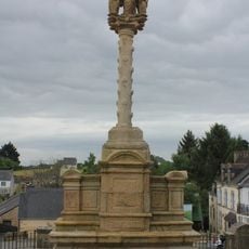
Calvaire de l'église
6.8 km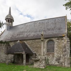
Chapelle Sainte-Barbe de Poulvern
8 km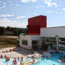
Centre aquatique Aqua'lud
7.9 km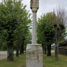
Calvaire de Remungol
112 m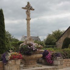
Calvaire de Moréac
6 km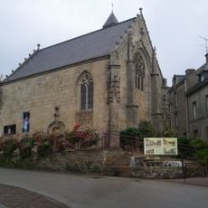
Chapelle de la Congrégation, Locminé
7 km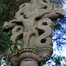
Croix de Kercloarec
8 km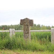
Croix de Kerofret
7.5 km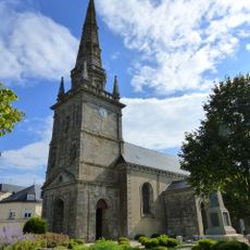
Église Saint-Côme-et-Saint-Damien
7.9 km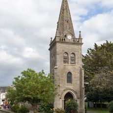
Église Saint-Gorgon de Moustoir-Remungol
6.9 km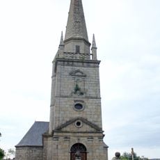
Église Saint-Guénin
6.8 km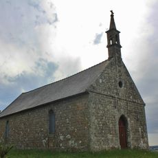
Chapelle Saint-Michel
4.7 km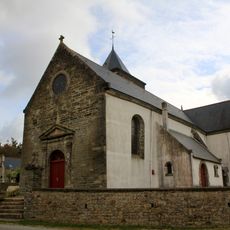
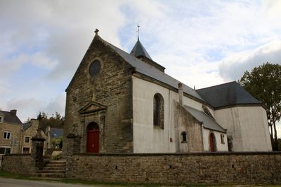
Église Sainte-Julitte de Remungol
95 m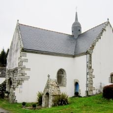
Chapelle Saint-Nicodème de Guénin
4.1 km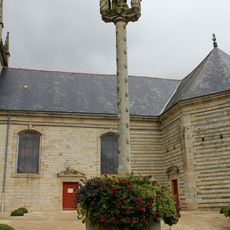
Croix de l'église Saint-Cyr
6.1 km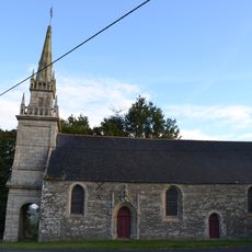
Chapelle Notre-Dame de la Ferrière
4.8 km
Apollo Steamrocket
4.8 km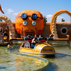
Octopus Splash Attack
4.9 km
Les Montgolfières
4.8 kmReviews
Visited this place? Tap the stars to rate it and share your experience / photos with the community! Try now! You can cancel it anytime.
Discover hidden gems everywhere you go!
From secret cafés to breathtaking viewpoints, skip the crowded tourist spots and find places that match your style. Our app makes it easy with voice search, smart filtering, route optimization, and insider tips from travelers worldwide. Download now for the complete mobile experience.

A unique approach to discovering new places❞
— Le Figaro
All the places worth exploring❞
— France Info
A tailor-made excursion in just a few clicks❞
— 20 Minutes