
Nurieux-Volognat, commune in Ain, France
Location: Ain
Location: arrondissement of Nantua
Inception: March 1, 1973
Elevation above the sea: 617 m
Shares border with: Brion, Béard-Géovreissiat, Izernore, Leyssard, Peyriat, Saint-Martin-du-Frêne, Sonthonnax-la-Montagne
Website: http://nurieux-volognat.fr
GPS coordinates: 46.18028,5.52194
Latest update: June 7, 2025 04:36
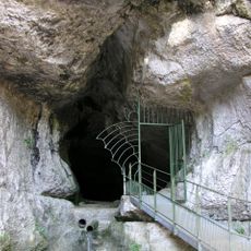
Grotte de Corveissiat
2.6 km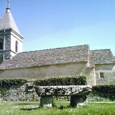
Chapelle de Mornay
1.6 km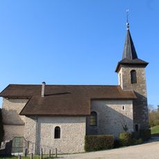
Église Saint-Denis de Brion
2.7 km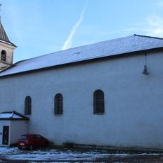
Église Saint-Martin de Volognat
804 m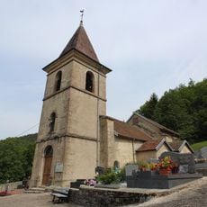
Église Saint-Jean-Baptiste de Géovreissiat
3 km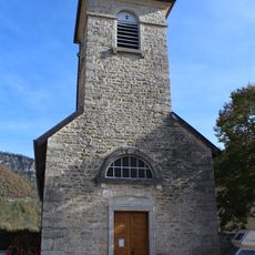
Église Saint-Étienne de Bolozon
4 km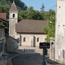
Église Saint-Maurice de Montréal-la-Cluse
3.8 km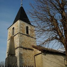
Église Saint-Brice de Peyriat
2.9 km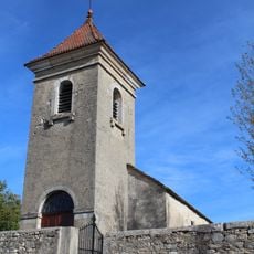
Église Saint-Martin de Napt
3.5 km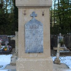
War memorial of Volognat
408 m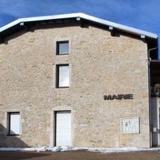
Town hall of Peyriat
2.9 km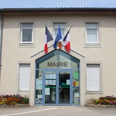
Mairie de Béard-Géovreissiat
2.7 km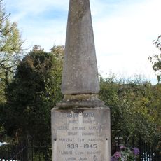
War memorial of Peyriat
2.9 km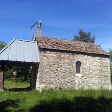
Chapelle Notre-Dame de l'Étoile de Sonthonnax-la-Montagne
4.3 km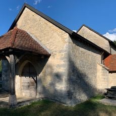
Chapelle Sainte-Madeleine de Solomiat
3.5 km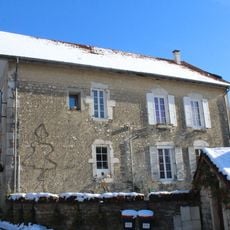
Former town hall of Mornay
1.5 km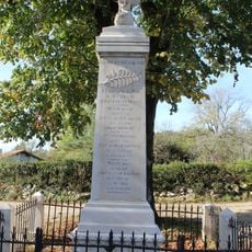
War memorial of Napt
3.6 km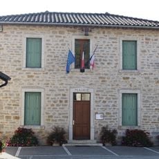
Town hall of Bolozon
4 km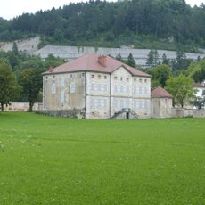
Château de Douglas
3.9 km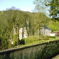
Château de Volognat
919 m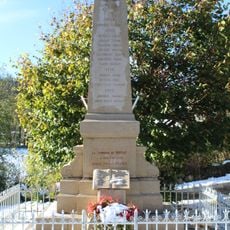
War memorial of Mornay
1.5 km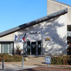
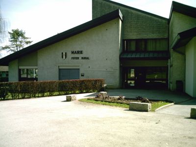
Town hall of Nurieux-Volognat
42 m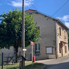
Ancienne mairie de Napt
3.4 km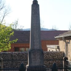
War memorial of Brion
2.6 km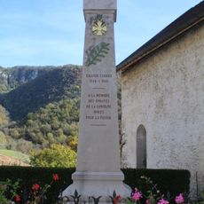
War memorial of Bolozon
4 km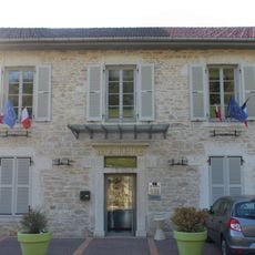
Town hall of Brion
2.6 km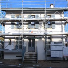
Former town hall of Volognat
706 m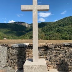
Cemetery cross of Bolozon
4.1 kmVisited this place? Tap the stars to rate it and share your experience / photos with the community! Try now! You can cancel it anytime.
Discover hidden gems everywhere you go!
From secret cafés to breathtaking viewpoints, skip the crowded tourist spots and find places that match your style. Our app makes it easy with voice search, smart filtering, route optimization, and insider tips from travelers worldwide. Download now for the complete mobile experience.

A unique approach to discovering new places❞
— Le Figaro
All the places worth exploring❞
— France Info
A tailor-made excursion in just a few clicks❞
— 20 Minutes