
Sutrieu, commune in Ain, France
Location: Ain
Location: arrondissement of Belley
Location: Valromey-sur-Séran
Inception: January 1, 1974
Elevation above the sea: 700 m
Shares border with: Belmont-Luthézieu, Champagne-en-Valromey, Cormaranche-en-Bugey, Lompnieu, Thézillieu
GPS coordinates: 45.95139,5.65889
Latest update: May 25, 2025 01:23
Aqueduc romain de Vieu
6.2 km
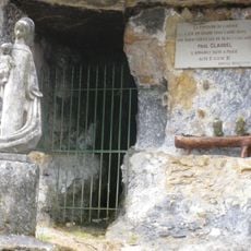
Puits des Tines
1.5 km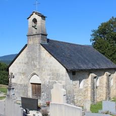
Saints Anthony and Maurice chapel of Luthézieu
5.1 km
Église Saint-Laurent de Sutrieu
86 m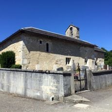
Église Saint-André de Fitignieu
2.7 km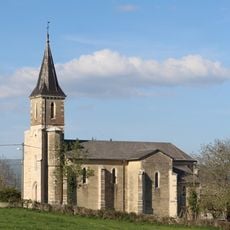
Église Saint-Oyen de Charancin
3.1 km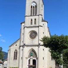
Église Saint-Symphorien de Champagne-en-Valromey
5.4 km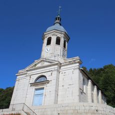
Église Saint-Martin de Cormaranche-en-Bugey
3.6 km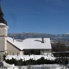
Église Saint-Michel de Lompnieu
1.1 km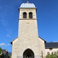
Église Saint-Maurice de Passin
3.3 km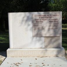
War memorial of Fitignieu
2.7 km
Mairie de Champagne-en-Valromey
5.4 km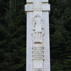
War memorial of Resistance in Valromey
5.8 km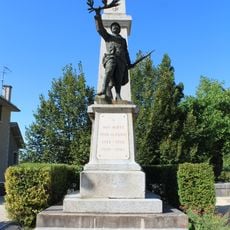
War memorial of Cormaranche-en-Bugey
3.6 km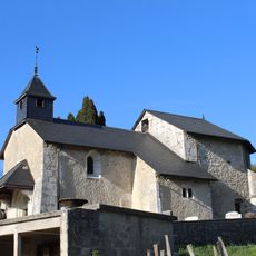
Chapelle de Lilignod
2.3 km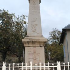
War memorial of Luthézieu
5.2 km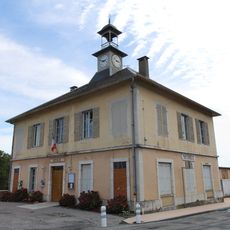
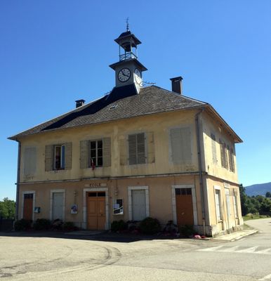
Mairie de Sutrieu
281 m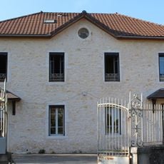
Former town hall of Passin
3.2 km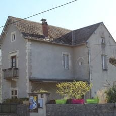
Former town hall of Fitignieu
2.7 km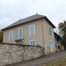
Ancienne mairie de Luthézieu
5.2 km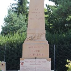
War memorial of Champagne-en-Valromey
5.4 km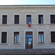
Town hall of Lompnieu
1.1 km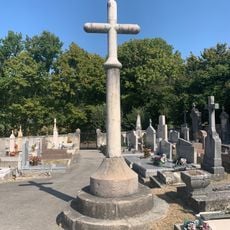
Cemetery cross of Champagne-en-Valromey
5.2 km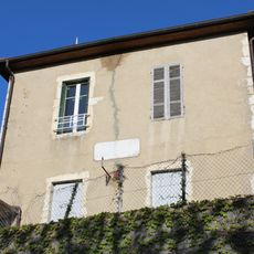
Former town hall of Lilignod
2.3 km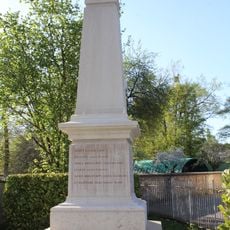
War memorial of Passin
3.3 km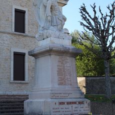
War memorial of Lompnieu
1.1 km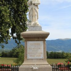
War memorial of Sutrieu
252 m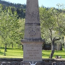
War memorial of Charancin
3.1 kmReviews
Visited this place? Tap the stars to rate it and share your experience / photos with the community! Try now! You can cancel it anytime.
Discover hidden gems everywhere you go!
From secret cafés to breathtaking viewpoints, skip the crowded tourist spots and find places that match your style. Our app makes it easy with voice search, smart filtering, route optimization, and insider tips from travelers worldwide. Download now for the complete mobile experience.

A unique approach to discovering new places❞
— Le Figaro
All the places worth exploring❞
— France Info
A tailor-made excursion in just a few clicks❞
— 20 Minutes