
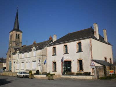
Soulvache, commune in Loire-Atlantique, France
Location: Loire-Atlantique
Location: canton of Rougé
Location: Arrondissement of Châteaubriant-Ancenis
Elevation above the sea: 72 m
Shares border with: Thourie, Teillay, Fercé, Rougé
Phone: +33240288052
Email: mairie@soulvache.fr
GPS coordinates: 47.83000,-1.47222
Latest update: June 12, 2025 04:01
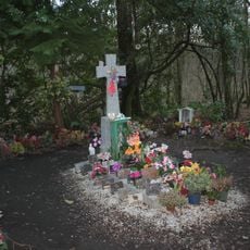
Tombe à la fille
5.4 km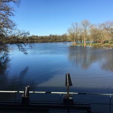
Étang de la Forge
11.8 km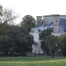
Château du Plessix
7.8 km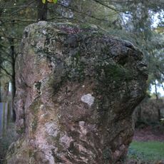
Pierre de Richebourg
12.5 km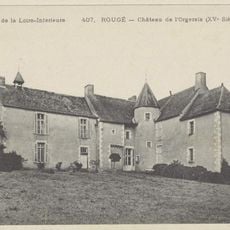
Manoir de l'Orgeraie
7.7 km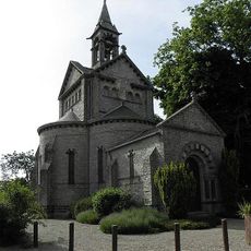
Chapelle Notre-Dame-de-Beauvais
10.2 km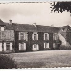
Château de la Raimbaudière
3 km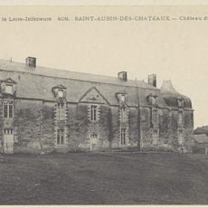
Château du Plessis
11.8 km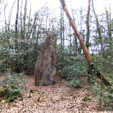
Pierre de Rumfort
8.4 km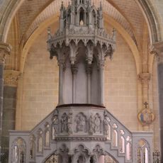
Martigné-Ferchaud church (pulpit)
11.6 km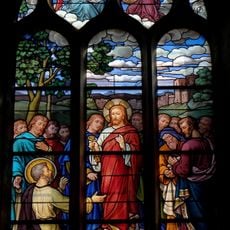
Vitraux de l'église Saint-Pierre de Coësmes
6.4 km
Pierres Velières menhir
3.9 km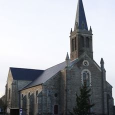
Église Saint-Jean-Baptiste d'Ercé-en-Lamée
6.6 km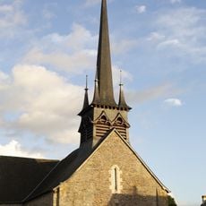
Église Sainte-Colombe
6.4 km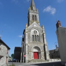
Église Saint-Jean-Baptiste
4.1 km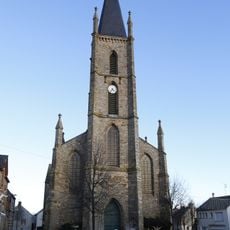
Église Notre-Dame-de-l'Assomption de Teillay
5.6 km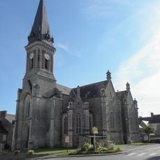
Église Saint-Pierre de Coësmes
6.4 km
Église Saint-Pierre de Martigné-Ferchaud
11.6 km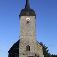
Église Saint-Barthélemy
2.8 km
Église Notre-Dame de La Couyère
6.9 km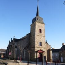
Église Saint-Martin de Fercé
5.7 km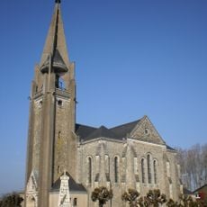
Église Saint-Martin-de-Tours de Noyal-sur-Brutz
11.2 km
Église Saint-Pierre de Ruffigné
8.3 km
Église Saint-Pierre-et-Saint-Paul
5.4 km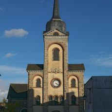
Église Saint-Martin de Tresbœuf
8.1 km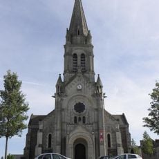
Église Saint-Maimbœuf
10.5 km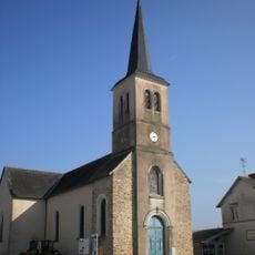
Église Saint-Jacques
156 m
Église Saint-Jean de Soulvache
199 mVisited this place? Tap the stars to rate it and share your experience / photos with the community! Try now! You can cancel it anytime.
Discover hidden gems everywhere you go!
From secret cafés to breathtaking viewpoints, skip the crowded tourist spots and find places that match your style. Our app makes it easy with voice search, smart filtering, route optimization, and insider tips from travelers worldwide. Download now for the complete mobile experience.

A unique approach to discovering new places❞
— Le Figaro
All the places worth exploring❞
— France Info
A tailor-made excursion in just a few clicks❞
— 20 Minutes