
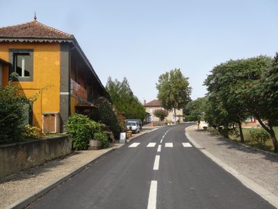
Moncorneil-Grazan, commune in Gers, France
Location: canton of Saramon
Location: Gers
Location: arrondissement of Mirande
Elevation above the sea: 212 m
Industry: administration publique générale
Shares border with: Bellegarde, Betcave-Aguin, Pouy-Loubrin, Tachoires
Phone: +33562662763
Email: mairie.moncorneil@orange.fr
GPS coordinates: 43.45306,0.65361
Latest update: March 4, 2025 13:05
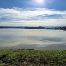
Lac de l'Astarac
8 km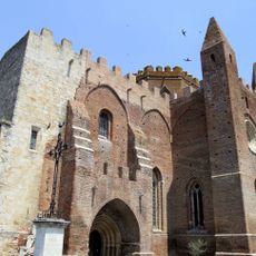
Église Notre-Dame de Simorre
6.6 km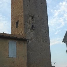
Château de Seissan
6.4 km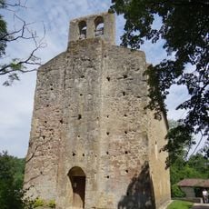
Église Saint-Michel de Lamaguère
4.6 km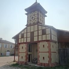
Pigeonnier de la Bernisse
7.1 km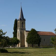
Église Saint-Martin de Sère
4.5 km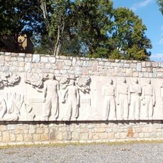
Meilhan Maquis Memorial
5.6 km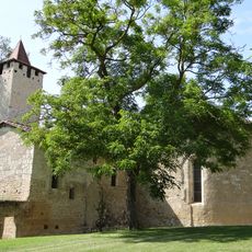
Église Saint-Sauveur de Faget-Abbatial
6.7 km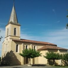
Église de Labarthe
6.3 km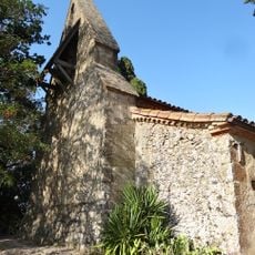
Église d'Aulin
8.2 km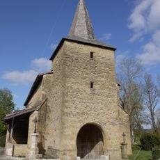
Église d'Ornézan
7.6 km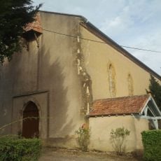
Église Saint-Germier de Pouy-Loubrin
3.2 km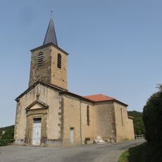
Église Saint-Pierre de Tachoires
2.6 km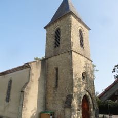
Église Saint-Barthélémy de Monferran
4.5 km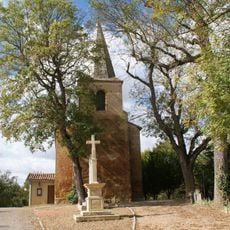
Église de la Nativité-de-Notre-Dame de Monties
7.3 km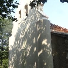
Église de Libou
4.8 km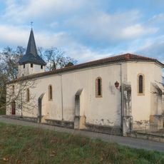
Église Sainte-Anne de Gaujan
7.4 km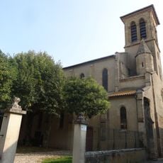
Église Notre-Dame de Seissan
6.5 km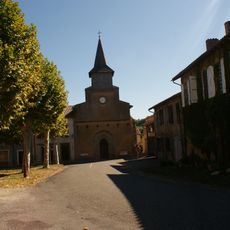
Église Saint-Vincent de Villefranche
6.8 km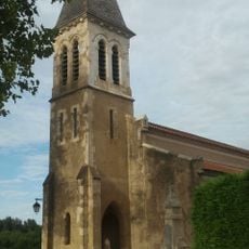
Église Saint-Jean-Baptiste de Moncorneil-Grazan
97 m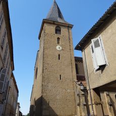
Église Saint-Christophe de Masseube
6.5 km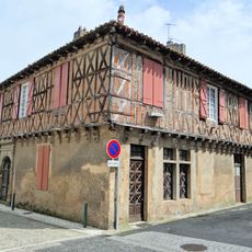
Maison rue du commerce
6.5 km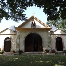
Chapelle du tombeau de Saint-Cérats
8 km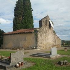
Chapelle Saint-Sabin de Grazan
465 m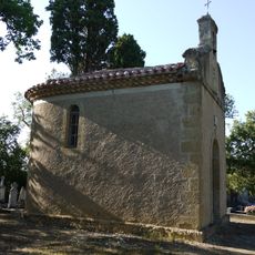
Chapelle des Téoulès
2.7 km
Chapelle Saint-Blaise de Plavès
6.3 km
Chapelle Saint-Laurent de Lasseube-Noble
5.4 km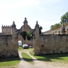
Logis abbatial de Faget-Abbatial
6.8 kmVisited this place? Tap the stars to rate it and share your experience / photos with the community! Try now! You can cancel it anytime.
Discover hidden gems everywhere you go!
From secret cafés to breathtaking viewpoints, skip the crowded tourist spots and find places that match your style. Our app makes it easy with voice search, smart filtering, route optimization, and insider tips from travelers worldwide. Download now for the complete mobile experience.

A unique approach to discovering new places❞
— Le Figaro
All the places worth exploring❞
— France Info
A tailor-made excursion in just a few clicks❞
— 20 Minutes