
Canton of Montmédy, canton of France
Location: Meuse
Inception: March 22, 2015
Capital city: Montmédy
GPS coordinates: 49.51917,5.36556
Latest update: April 8, 2025 10:00
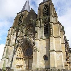
Basilique Notre-Dame d'Avioth
5.6 km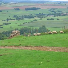
Mont Saint-Walfroy
8.8 km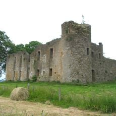
Montquintin Castle
8.2 km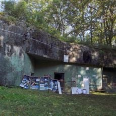
Ouvrage Chesnois
6.8 km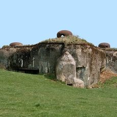
Ouvrage Thonnelle
3.9 km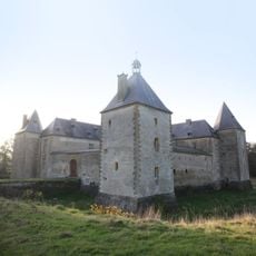
Château de Tassigny
10.3 km
Abbaye de Juvigny
6.2 km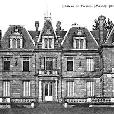
Château de Fresnois
2.2 km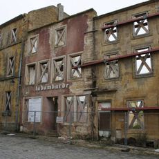
Abbaye d'Orval de Montmédy
363 m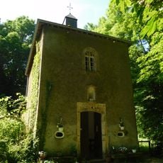
Chapelle Notre-Dame de Luxembourg, Torgny
8.6 km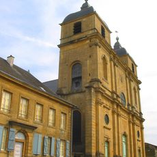
Eglise Saint-Martin
336 m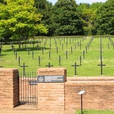
Consenvoye German military cemetery
27.1 km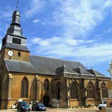
Église Saint-Nicolas de Marville
9.9 km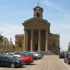
Église Saint-Laurent de Virton
13.2 km
Village des vieux métiers d'Azannes
24.5 km
Château d'Auflance
12.1 km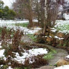
Radru
8.6 km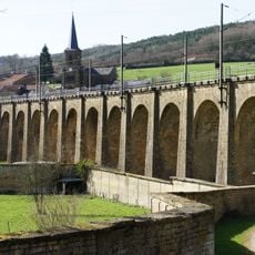
Viaduc de Thonne-les-Près
1.2 km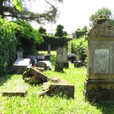
Damvillers Jewish cemetery
20.2 km
Latour
15 km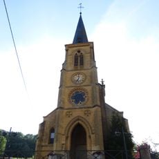
Église Saint-Pierre de Vigneul-sous-Montmédy
2.6 km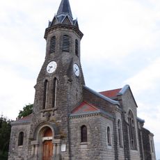
Église Saint-Hilaire de Wavrille
21.3 km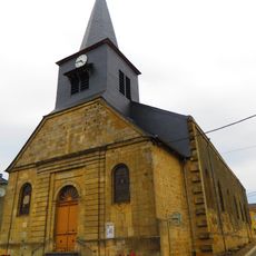
Église Saint-Pierre-ès-Liens de Jametz
9.9 km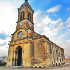
Église Saint-Rémi de Mangiennes
21.7 km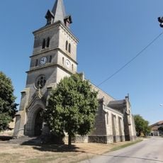
Église Saint-Martin de Forges-sur-Meuse
29 km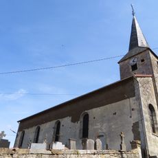
Église Saint-Jean-Baptiste de Bréhéville
15.3 km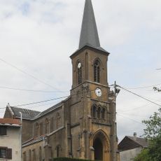
Église Saint-Georges de Thonne-les-Près
1.4 km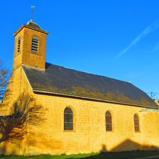
Église de la Nativité-de-Saint-Jean de Saint-Jean-lès-Longuyon
10.2 kmReviews
Visited this place? Tap the stars to rate it and share your experience / photos with the community! Try now! You can cancel it anytime.
Discover hidden gems everywhere you go!
From secret cafés to breathtaking viewpoints, skip the crowded tourist spots and find places that match your style. Our app makes it easy with voice search, smart filtering, route optimization, and insider tips from travelers worldwide. Download now for the complete mobile experience.

A unique approach to discovering new places❞
— Le Figaro
All the places worth exploring❞
— France Info
A tailor-made excursion in just a few clicks❞
— 20 Minutes