
Servas, commune in Gard, France
Location: canton of Alès-Sud-Est
Location: Gard
Location: arrondissement of Alès
Elevation above the sea: 143 m
Industry: administration publique générale
Shares border with: Allègre-les-Fumades, Mons, Navacelles, Les Plans, Rousson, Salindres
Phone: +33466837777
Email: mairie.servas@laposte.net
GPS coordinates: 44.15750,4.19611
Latest update: March 3, 2025 08:14
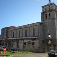
Saint John the Baptist Cathedral in Alès
10.3 km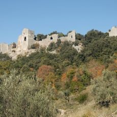
Château d'Allègre
7.1 km
Abattoir d'Alès
7.1 km
Bowling Alès
9.9 km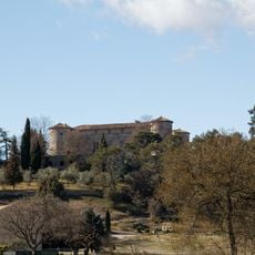
Castle of Rousson
5.6 km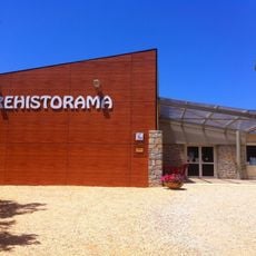
Préhistorama
7.4 km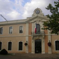
Town hall of Alès
10.2 km
Alès war memorial
10.2 km
Ethnobotanical gardens of Gardie
4.4 km
Casernes Thoiras
10.1 km
Palais épiscopal d'Alès
10.2 km
St. Martin church of Rousson
6 km
Église Saint-Joseph d'Alès
10 km
Église Saint-André de Salindres
5.5 km
Église Saint-Sauveur de Monteils
7.6 km
Église Sainte-Bernadette d'Alès
8.8 km
Église Saint-Jean-l'Évangéliste de Saint-Jean-de-Valériscle
9.4 km
Château de Boisson
7.5 km
Le Cratère, scène nationale d'Alès
9.9 km
Temple du Puech
7.5 km
Église Saint-Éloi de Tamaris
9.2 km
Église Saint-Julien de Saint-Julien-les-Rosiers
8.7 km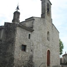
Église Saint-Privat de Saint-Privat-des-Vieux
5.6 km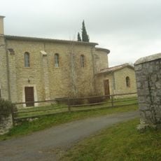
Église Saint-Martin de Bouquet
6.9 km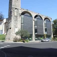
Église des Cordeliers
10.2 km
La Ferme de Magali
4.8 km
Protestant Church of Euzet
9.4 km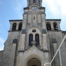
Église Saint-Félix-Saint-Saturnin de Boisson
7.5 kmReviews
Visited this place? Tap the stars to rate it and share your experience / photos with the community! Try now! You can cancel it anytime.
Discover hidden gems everywhere you go!
From secret cafés to breathtaking viewpoints, skip the crowded tourist spots and find places that match your style. Our app makes it easy with voice search, smart filtering, route optimization, and insider tips from travelers worldwide. Download now for the complete mobile experience.

A unique approach to discovering new places❞
— Le Figaro
All the places worth exploring❞
— France Info
A tailor-made excursion in just a few clicks❞
— 20 Minutes