
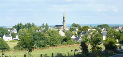
Plouyé, commune in Finistère, France
Location: canton of Huelgoat
Location: Finistère
Location: arrondissement of Châteaulin
Elevation above the sea: 139 m
Shares border with: Brennilis, Collorec, Huelgoat, Kergloff, Landeleau, Loqueffret, Plonévez-du-Faou, Poullaouen
Phone: +33298997007
Email: contact@mairie-plouye.fr
Website: https://mairie-plouye.bzh
GPS coordinates: 48.31417,-3.73556
Latest update: June 13, 2025 07:06
Rocking stone of Huelgoat
6 km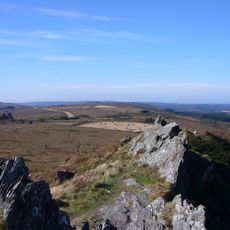
Armorique Regional Natural Park
15.1 km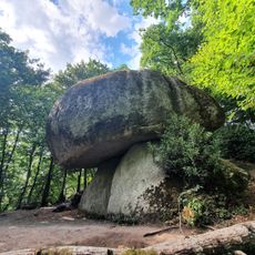
Forêt d'Huelgoat
5.8 km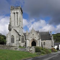
St-Herbot
5.7 km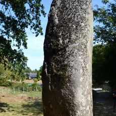
Menhir de Kerampeulven
7.5 km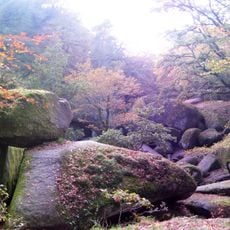
Poërop Arboretum
4.8 km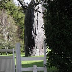
Menhir du Cloître
6.2 km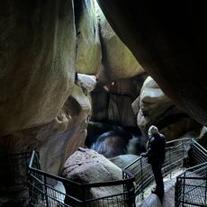
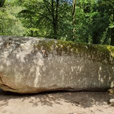
Grotte du Diable
5.8 km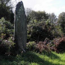
Alignement de Leïtan
7.3 km
Category:Verrière de Saint-Laurent de la chapelle de Saint-Herbot
5.6 km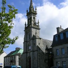
Église Saint-Yves de Huelgoat
5.6 kmChaos du Ménage de la Vierge
5.9 km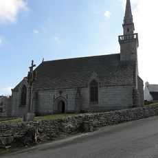
Chapelle Notre-Dame-des-Cieux
5.3 km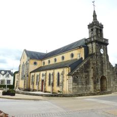
Église Notre-Dame de Collorec
4.3 km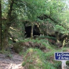
Grotte d'Artus
6.1 km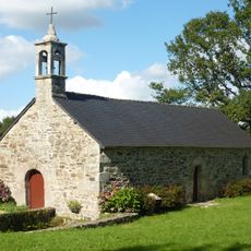
Chapelle Notre-Dame-du-Paradis de Saint-Quijeau
6.4 km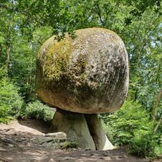
Le champignon
6.2 km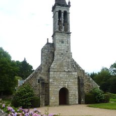
Église Notre-Dame-de-Bonne-Nouvelle de Locmaria-Berrien
5.2 km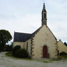
Chapelle Sainte-Marguerite de Collorec
2.7 km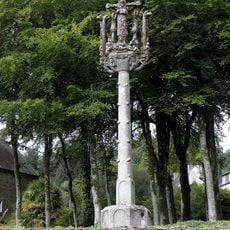
Calvaire de Saint-Herbot
5.6 km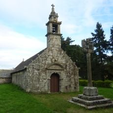
Chapelle Saint-Salomon de Plouyé
2.1 km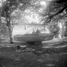
Manoir du Rusquec
6.2 km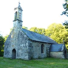
Chapelle Saint-Mathurin de Plouyé
1.1 km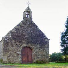
Chapelle Saint-Guénolé
3.3 km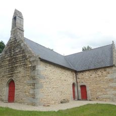
Chapelle Saint-Clair de Plonévez-du-Faou
7.1 km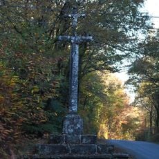
Calvary of Rusquec
6.7 km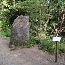
Menhir de la mare aux sangliers
6.1 kmVisited this place? Tap the stars to rate it and share your experience / photos with the community! Try now! You can cancel it anytime.
Discover hidden gems everywhere you go!
From secret cafés to breathtaking viewpoints, skip the crowded tourist spots and find places that match your style. Our app makes it easy with voice search, smart filtering, route optimization, and insider tips from travelers worldwide. Download now for the complete mobile experience.

A unique approach to discovering new places❞
— Le Figaro
All the places worth exploring❞
— France Info
A tailor-made excursion in just a few clicks❞
— 20 Minutes